Sommet de Calern hike
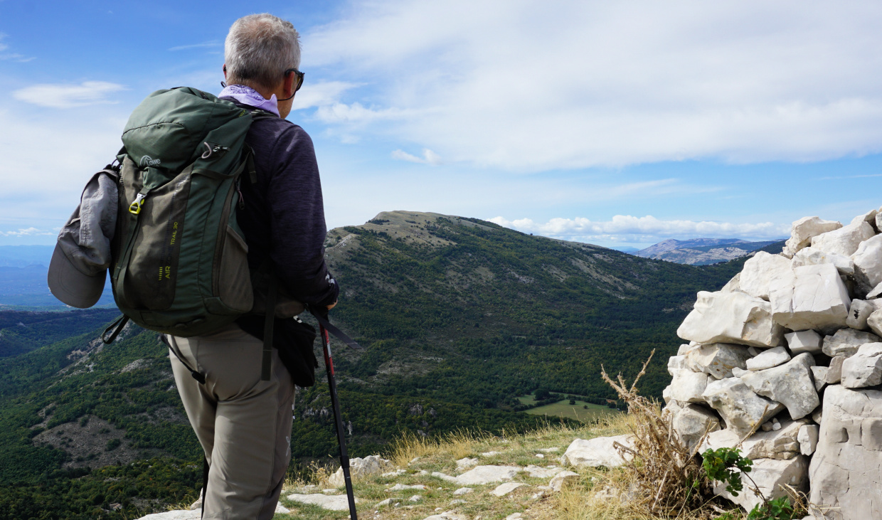 |
| Sommet de Calern |
Sommet de Calern (1458 m) overlooks the small village Caussols (1100 m). Only 10 km north of Grasse as the crow flies, the summit is located in the westernmost part of the Plateau de Calern. The CERGA observatory established in 1974 is about 3 km to the east of the summit.
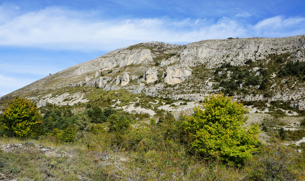 |
| Sommet de Calern southern flank |
 |
| Starting from Caussols |
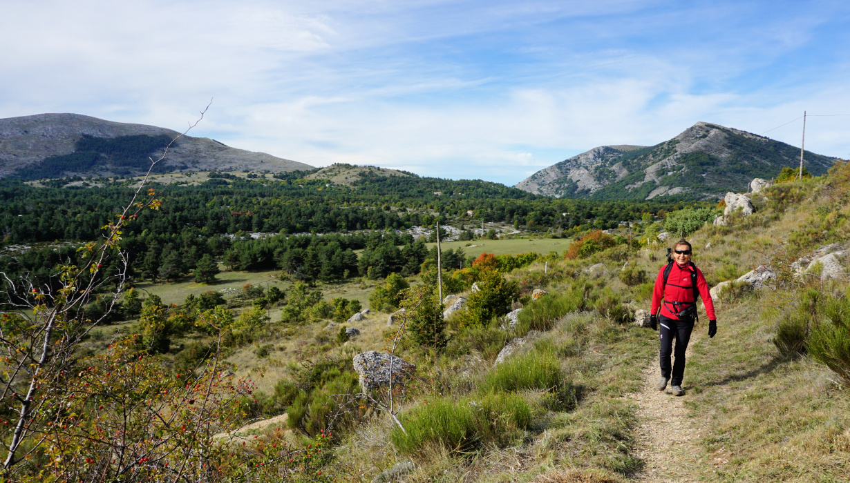 |
| GR4 near Caussols |
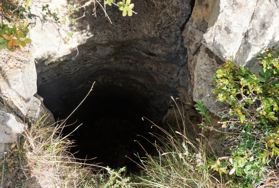 |
| Sinkhole by the trail |
The GR4 trail runs through Caussols. Starting from the village (signpost #30), we headed north first along a paved road, then along a good and recently maintained trail. We passed several fenced pasture areas which all were empty. We came under the steep southern ridge and headed northeast. The region consists mostly of limestone and we walked past some peculiar rock formations and sinkholes, avens.
We came to signpost #50 where the GR4 continued northeast to Cipières, and another trail straight east to the nearby observatory. We forked left (west), and ascended in open terrain towards the summit along a yellow-marked trail. There were many parallel paths and tracks.
 |
| GR4 near signpost50 |
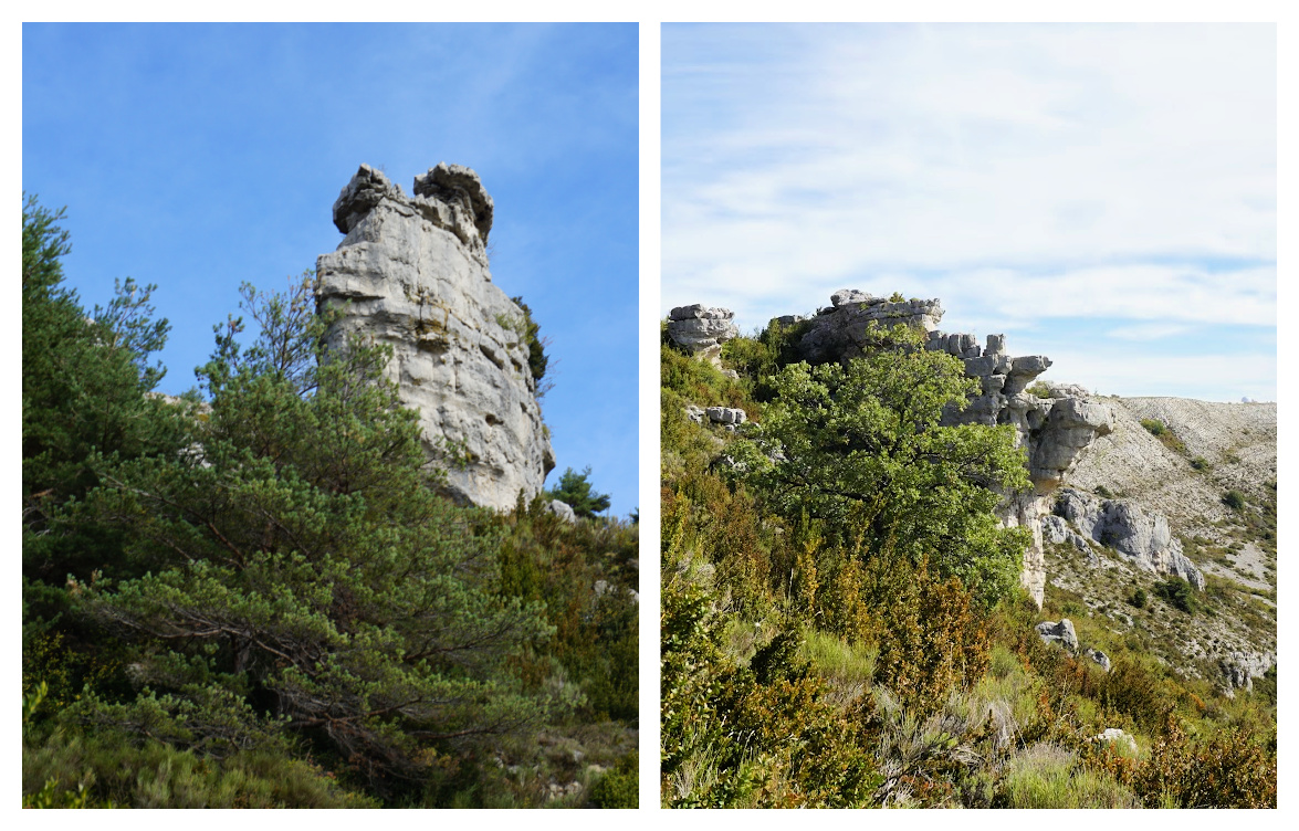 |
| Rock formations Calern |
 |
| Trail to Sommet de Calern |
 |
| Vast Plateau de Calern |
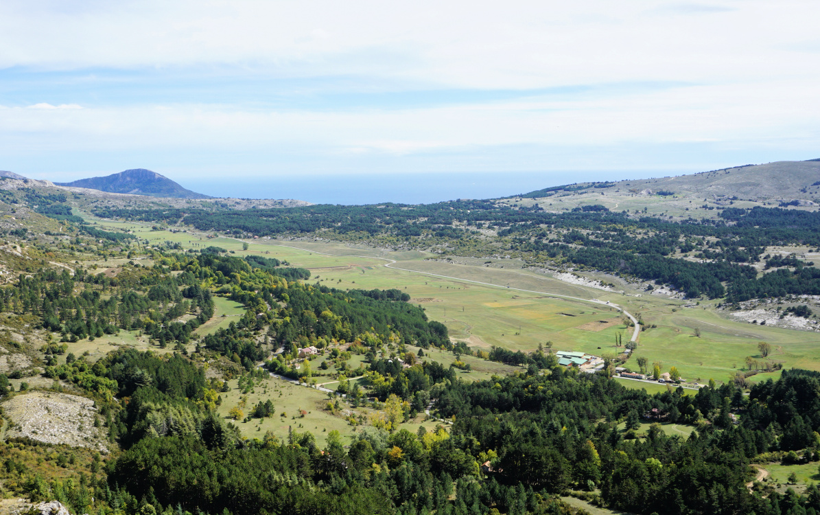 |
| Plateau de Caussols |
The summit (highest in Calern) was marked with a large cairn. We could see parts of Nice, the airport as well as the coast to the west, well beyond the St Tropez peninsula.
We took the same trail back to Caussols. It is possible to make a detour to the observatory or even to Colle de Rougiès.
Map: 3543 ET Haute Siagne
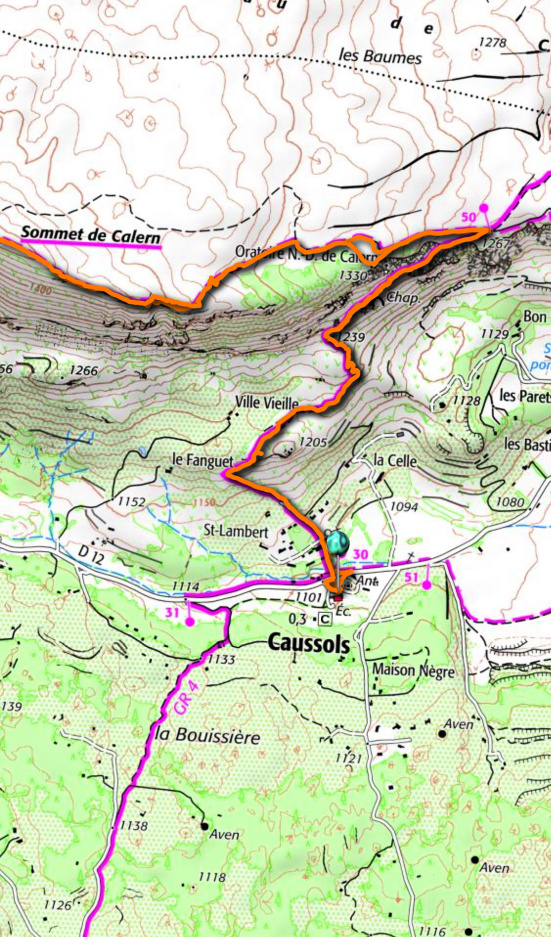 |
| Sommet de Calern hike track |


0 comments:
Note: only a member of this blog may post a comment.