Plan des Noves to Vescagne Footbridge
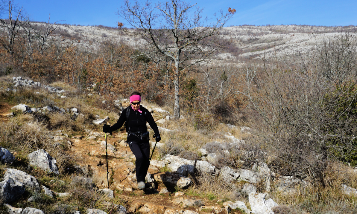
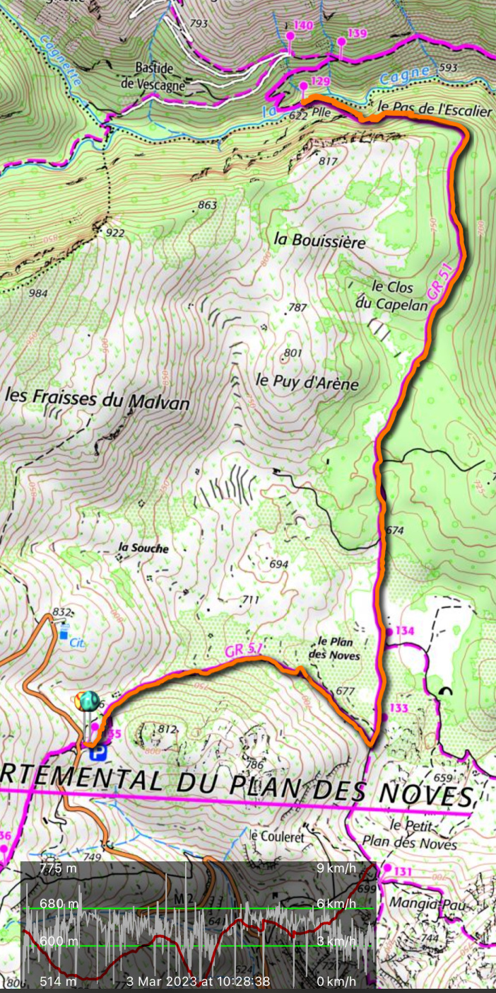
The following hike features a pleasant walk in Plan des Noves above Vence along the GR51 trail.
The Plan des Noves parking by the M2 road is a natural starting point for walks near Col de Vence as you can choose many directions and the GR51 trail crosses the road here.
 |
| Departing Plan des Noves parking |
 |
| GR51 Crossroads Plan des Noves |
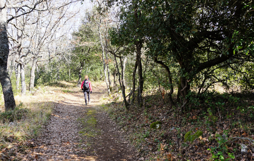 |
| Heading north on GR51 |
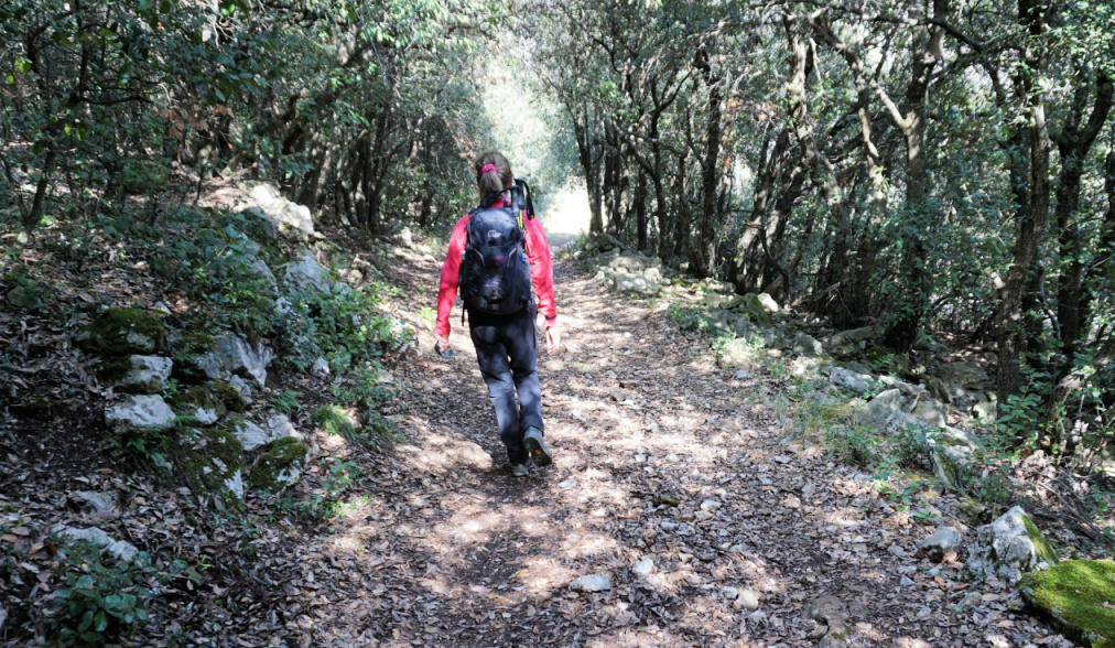 |
| Evergreen woods by the GR51 |
We headed east descending about 100 m to signpost #133 at the western part of the plateau. We forked sharply left (north) along GR51, and walked past some ancient agricultural areas. The surrounding scenery was dominated by Mouton d’Anou (1079 m) and Colle Menon (1029 m). As Plan des Noves is surrounded by about 800 m peaks in all directions, the coast remained invisible.
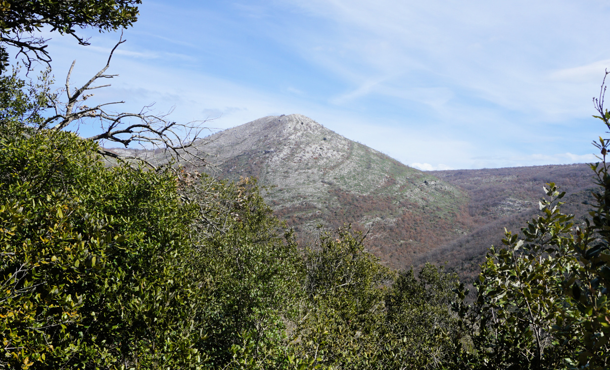 |
| Mouton d'Anou |
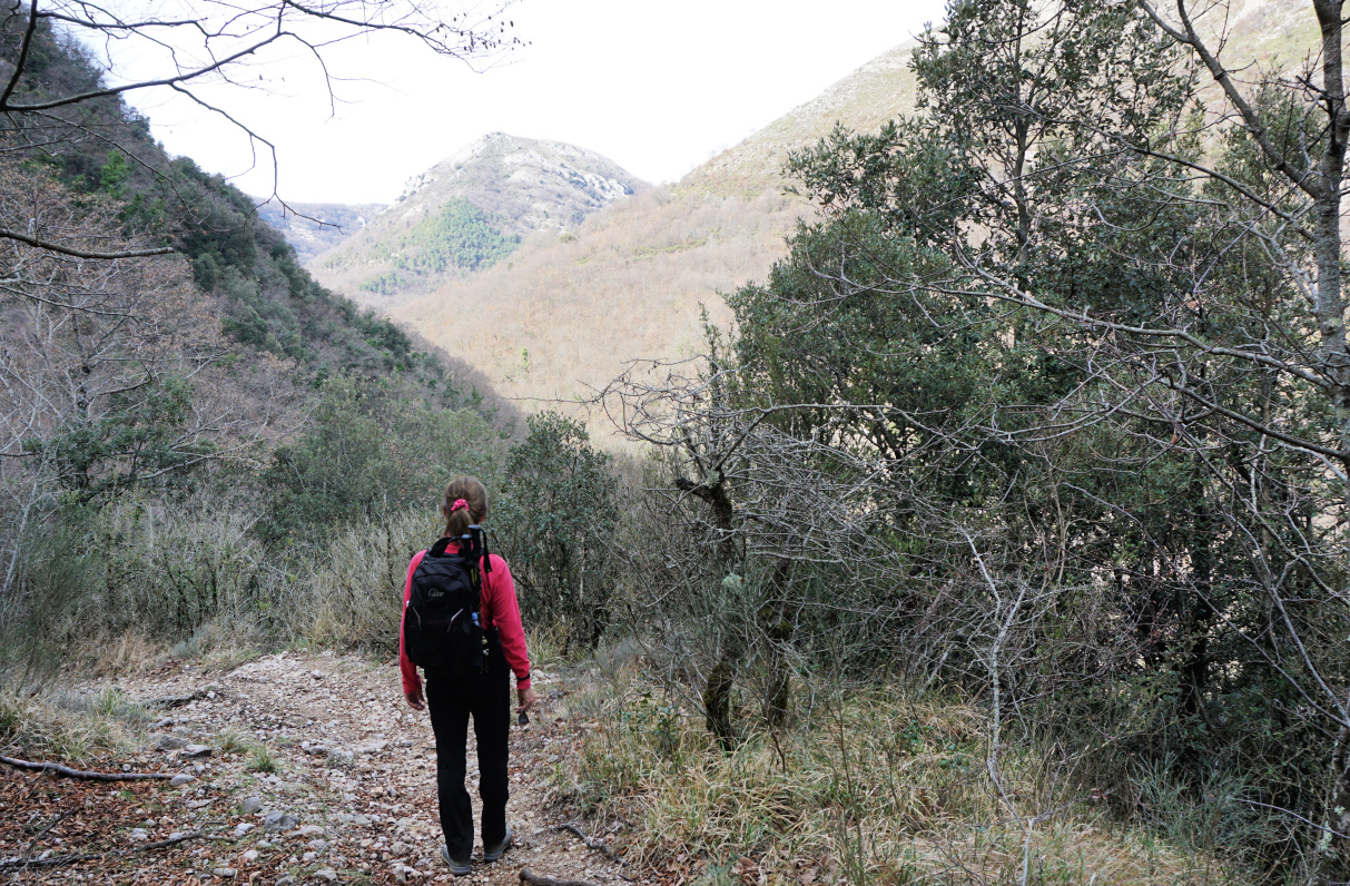 |
| Cagnes River Valley |
 |
| Vescagne footbridge |
 |
| La Cagne riverbed almost dry |
The GR51 at this point was a wide track surrounded in places by holm oaks, and other evergreen trees. We climbed a bit before the trail turned west above the Cagnes River Valley, descending rapidly to the wooden footbridge, Pont du Vescagne (620 m). It had rained very little in the winter, and only a small amount of water streamed towards the sea even in early March. Some riverbeds have been reported completely dry in the Var Department. The sources of the Cagnes River are near Coursegoules, about 5 km uphill and northwest as the crow flies.
We used the same trail back to our starting point.
Distance: 10 km
Climb: 390 m
Duration: 3h 20 active
Map: “Cannes-Grasse” Côte d’Azur 3643ET




0 comments:
Note: only a member of this blog may post a comment.