

Tête de Pierrous above Beuil

The landscape between Mont Mounier (2817 m) and Beuil consists of vast alpine meadows, larch woods and steep ravines. There are several easily reachable summits exceeding 2000 m elev.
The River Cians has its sources below Col des Moulines and Tête de Pierrous (2046 m). We decided to explore the picturesque area, starting from Col de la Couillole (1673 m; excellent parking by the D30 road).
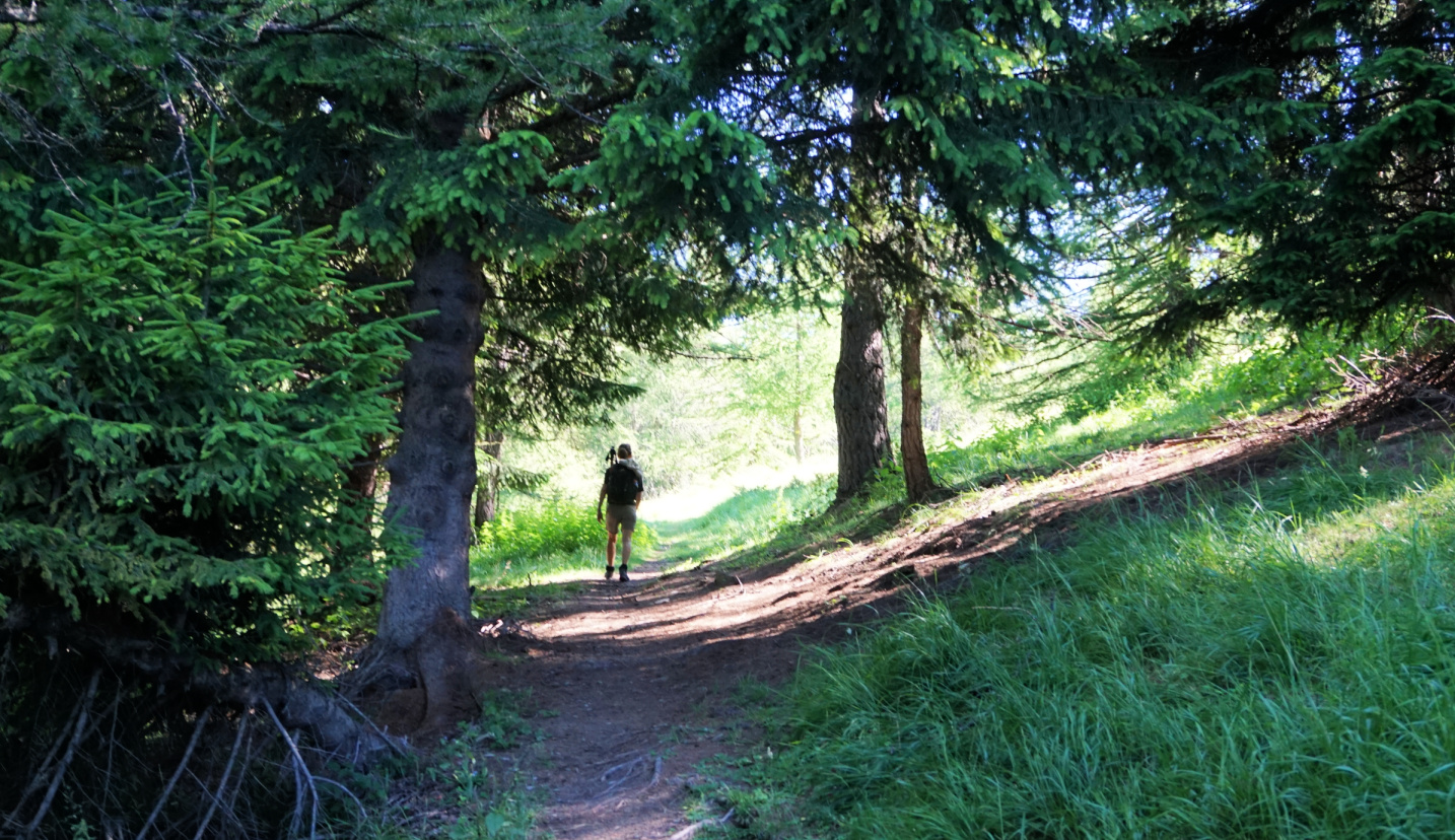

Signpost #51 at Col de la Couillole showed the path to Col des Moulines. We first ascended along a soft trail in larch woods interrupted in places by alpine meadows, passing signposts #102 and 102a.
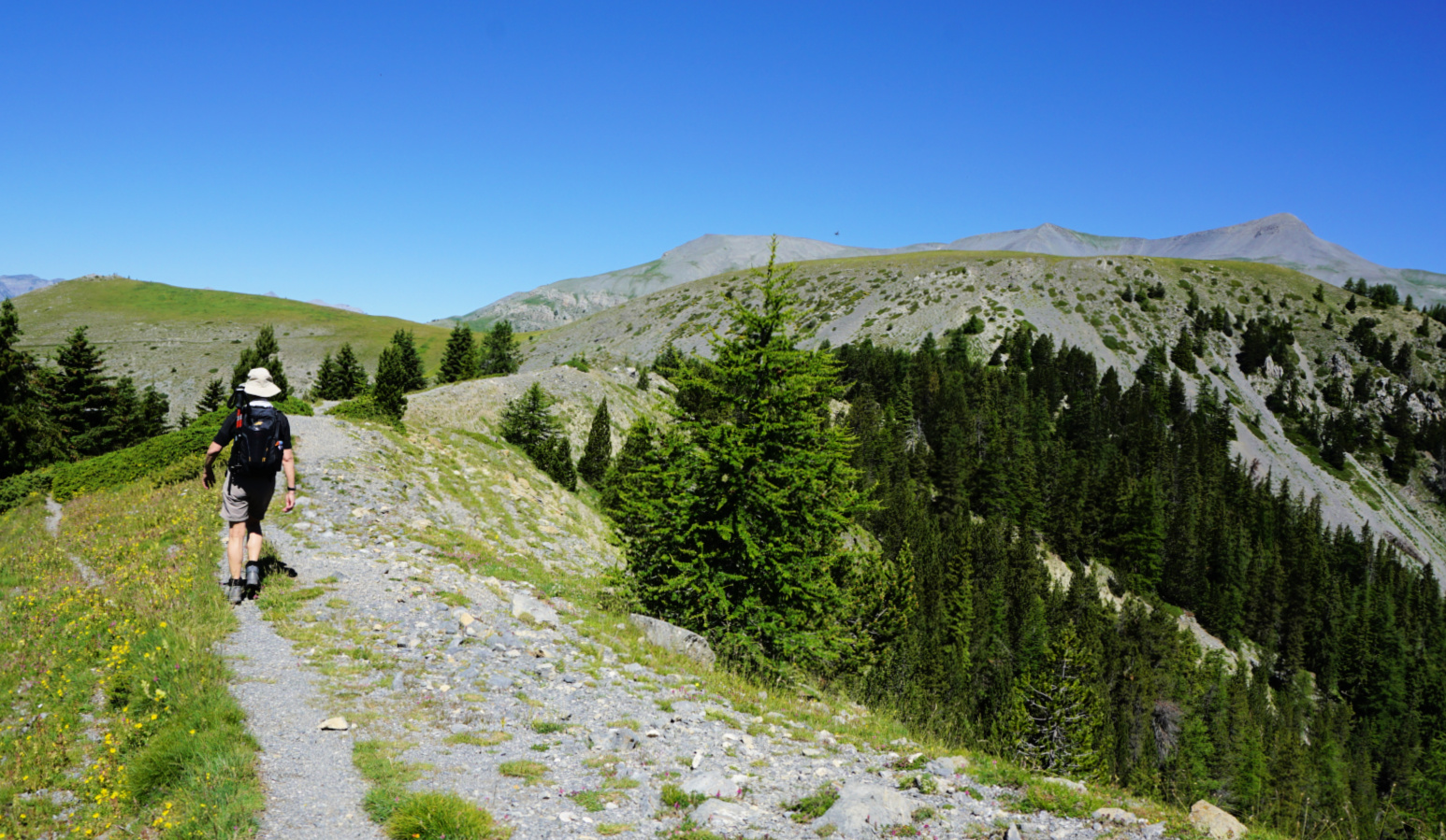
The path became rockier and we hiked past some exposed stretches to signpost #104 where the trail turned to the north following the western flank of Sommet du Countent.
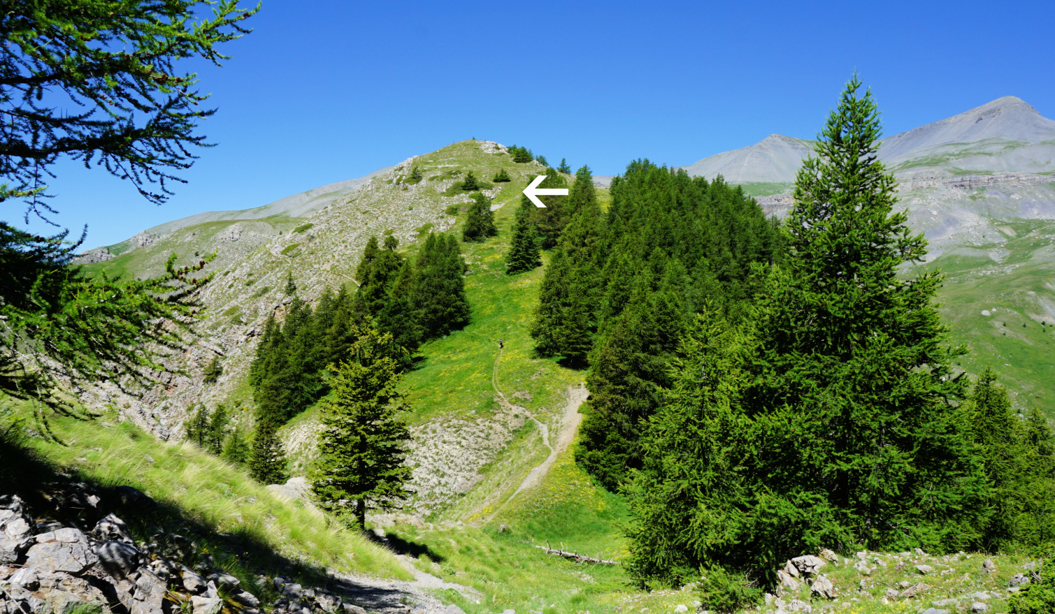
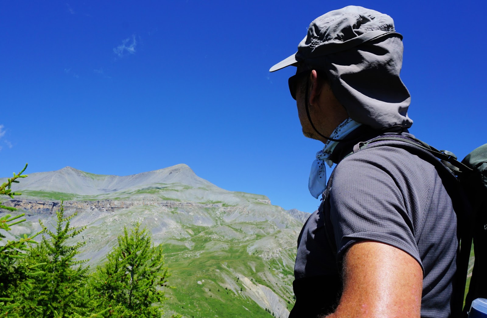
We reached the border of Mercantour National Park, and had our goal, Tête de Pierrous, in sight. We followed the main trail to the eastern flank of the mountain where we forked right and ascended to the summit along the grassy but steep slope.
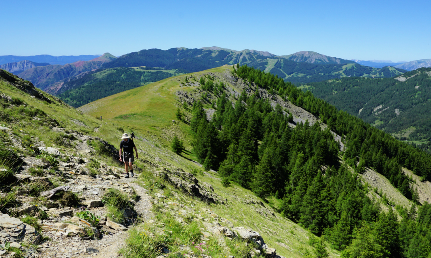
Not surprisingly, the Mont Mounier Massif dominated the landscape in the northwest but we had super views of Valberg and Beuil as well as of parts of the still show-capped Mercantour peaks near the Italian border.
We took the same trail back. It is also possible to do a loop from signpost #104 to the south to Cabane d’Ars, then via signpost #103 to the east passing Cruset and Ars to signpost #100 by the D30, near Col de la Couillole.
Climb: 480 m
Duration: 3h 50
Distance: 10,6 km
Map: Haut Cians Valberg 3640 OT


0 comments:
Note: only a member of this blog may post a comment.