

Long loop from Tourrettes-sur-Loup

After the devastating storm named Alex in early October 2020, most of the trails in the Mercantour National Park and elsewhere in the northern part of Alpes Maritimes were closed.
On the other hand, many communes nearer the coast saw little or no damage. We designed a new variant from Tourrettes-sur-Loup (400 m), using mostly familiar paths from our previous hikes. We wanted do a circuit which includes the “twin peaks”: Puy de Tourrettes (1268 m) and Pic de Courmettes (1248 m). We have hiked up to them many times, but never ascended to both from Tourrettes-sur-Loup. We have instead used the village of Courmes (630 m) as our starting point.
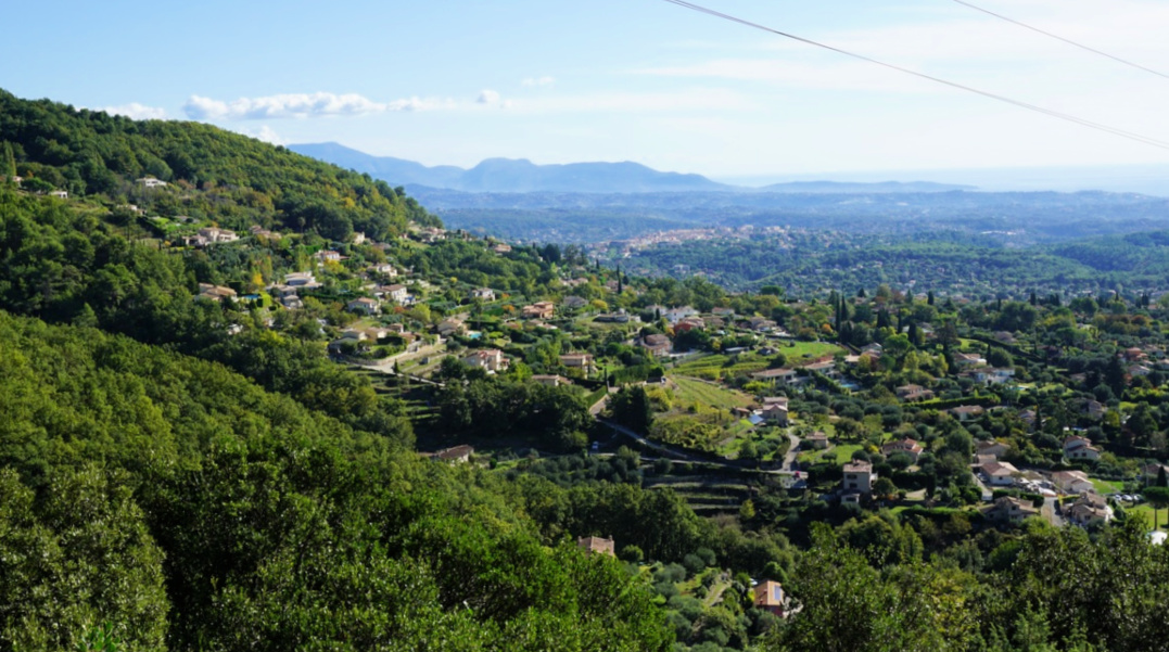


From Tourrettes-sur-Loup, we started to ascend along the paved Route du Caïre. While not the most authentic route, it enables a rapid access to higher ground, and offers nice views.
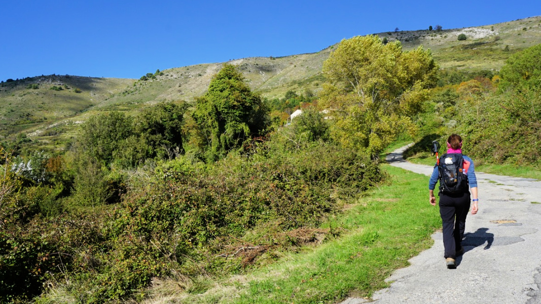
We proceeded all the way to the end of the road, walked past le Caïre (850 m) and a guesthouse named Le Mas de la Source. We continued along the trail proper (indicating St Barnabé etc) behind the last houses and reached a crossroads at la Baïsse (1020 m). The marked trail continued north. Our trail to Puy de Tourrettes forked left (west). While not shown on maps, it is well visible and there are cairns here and there. We ascended along it diagonally along the south-eastern flank of the mountain.
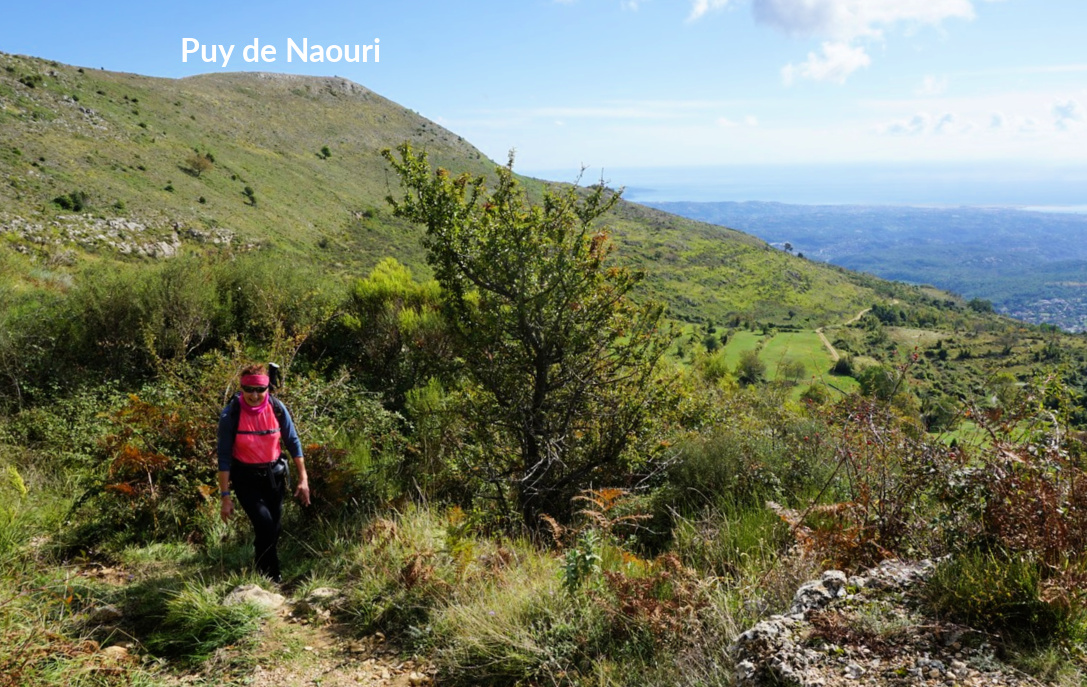
We reached the summit plateau, and near the highest point forked left along a descending trail (still unmarked) which led to the saddle between the two peaks. Continuing straight south, we then climbed to Pic de Courmettes. The trail ran close to its the steep western face. Near the summit, we came to a marked trail which was our route back. We descended along the south-eastern flank first in open terrain, then in an oak forest.
We crossed to a dirt track not far from Domaine de Courmettes and turned left (north-east). We followed it about 2 km, as far as to signpost #179 where we forked right and descended to Route du Caïre (at signpost #174). Completing the loop, we followed the road back to Tourrettes-sur-Loup.
Duration: 5h 30 active
Climb: ≈1000 m
Distance: 16 km
Map: Cannes Grasse Côte d’Azur 3643 ET


0 comments:
Note: only a member of this blog may post a comment.