Le Boréon: Forest path above the Salèse Valley
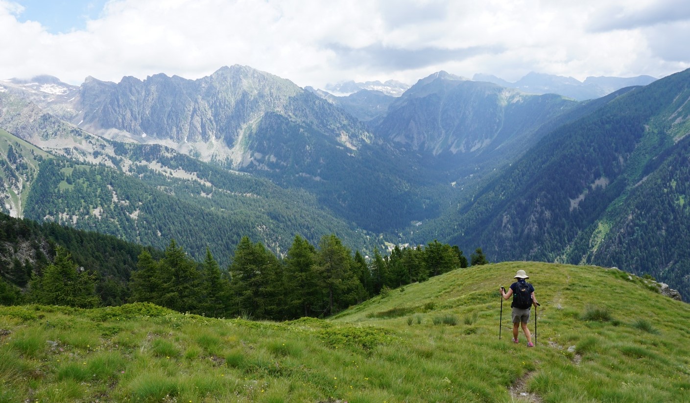
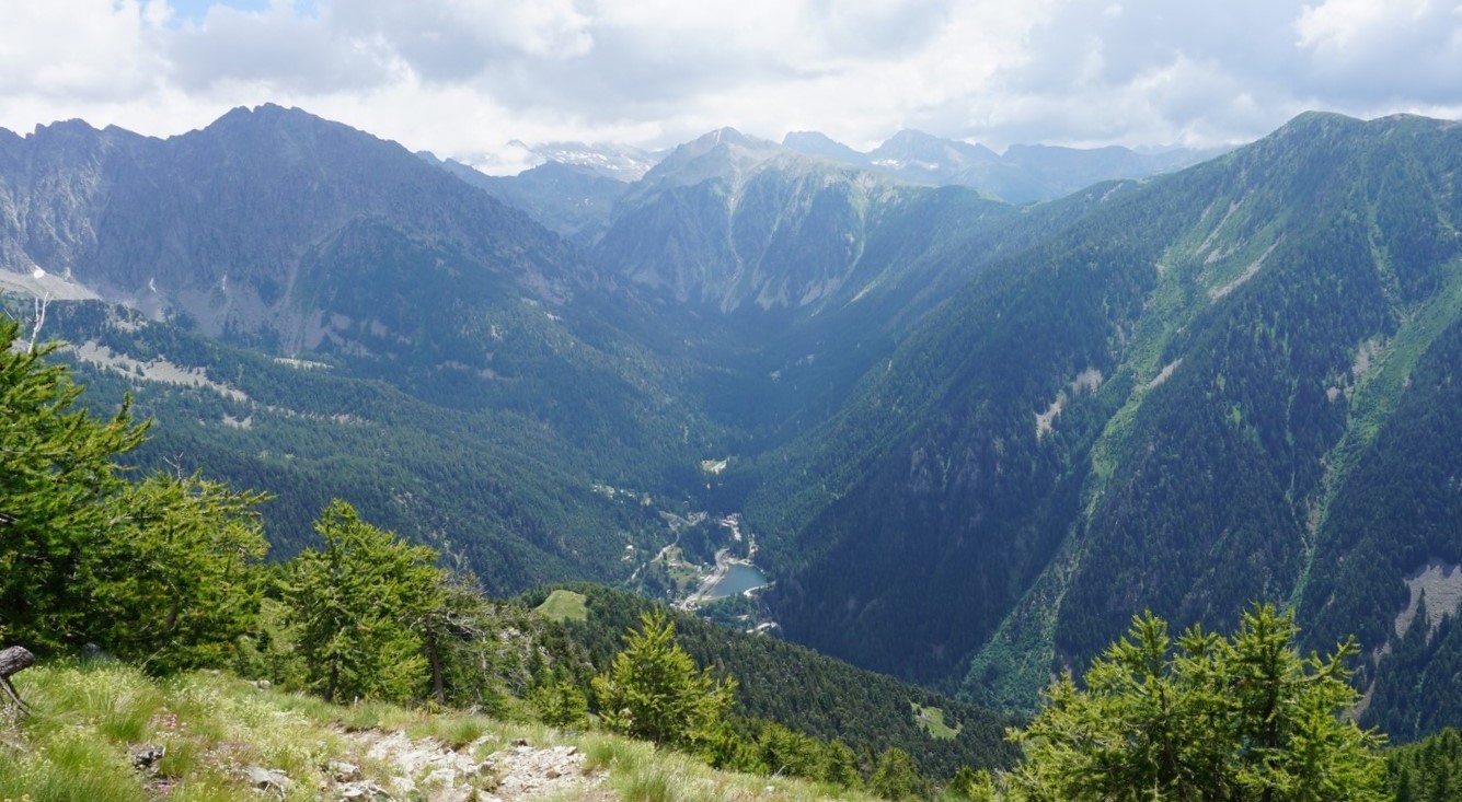
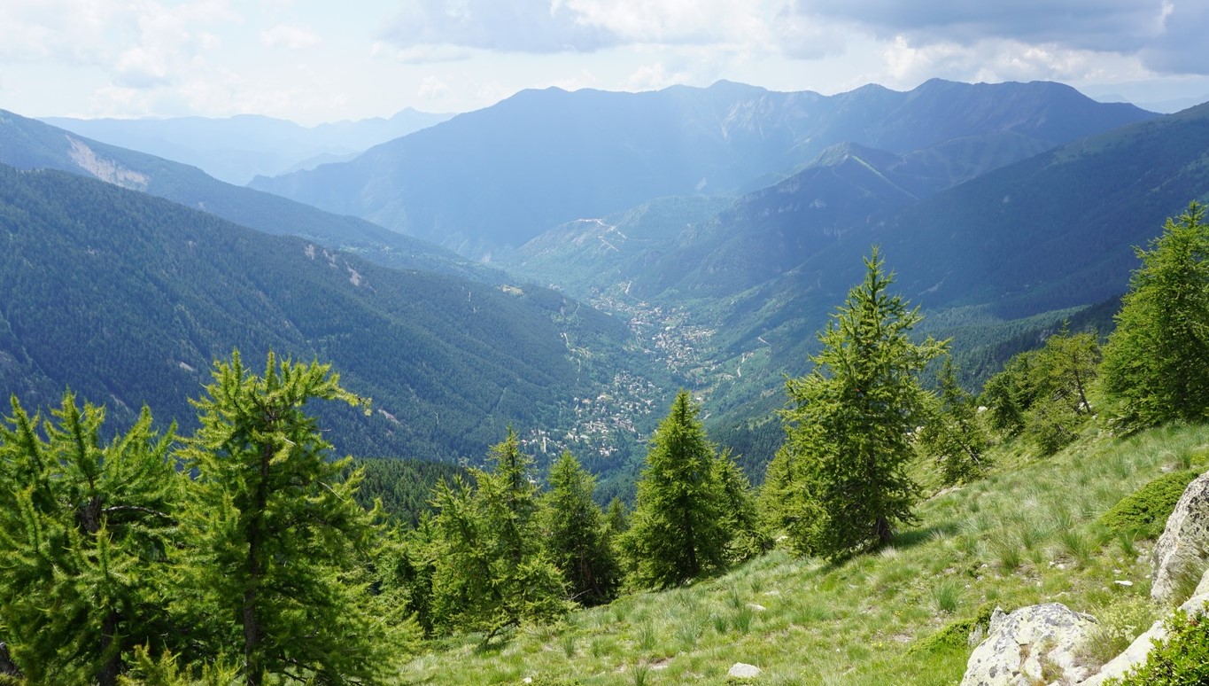
The following loop hike is for forest lovers. Even though this itinerary mostly runs in the woods, there are several open stretches with great views down to Le Boréon (1500 m) as well as the Salèse and Vésubie River Valleys. Le Boréon 6 km north of St-Martin Vésubie is one of the most popular hiking areas of Alpes-Maritimes.
A paved but potholed road M89 goes up to the Salèse Valley parking (1690 m), bordering the Mercantour National Park. The most popular trail, the GR52, continues from here to north west to Col de Salèse.
Note that after the devastating storm Alex in early October 2020, all access to Boréon was cut. Currently there’s a very limited access (not for the public) as far as to the Lake Boréon. It remains to be seen if the connection can be established before the next summer.
From the Salèse Parking, another trail goes up to Lac des Adus and beyond. We have previously hiked to Mont Archas in this area.
The weather forecast for today’s hike was showers and thunderstorms in the afternoon (did not happen though!), and we wanted to avoid higher terrain. Besides, the forest above the Salèse Valley is most beautiful.
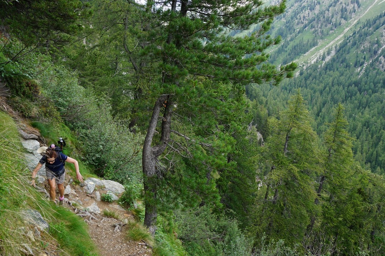
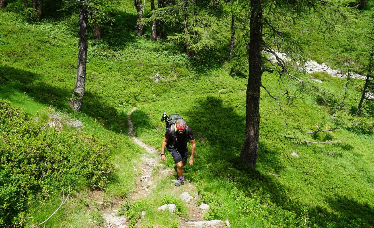
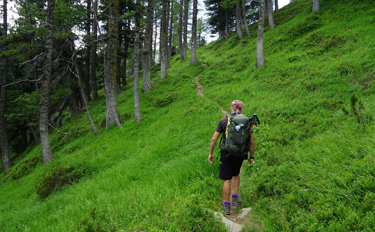
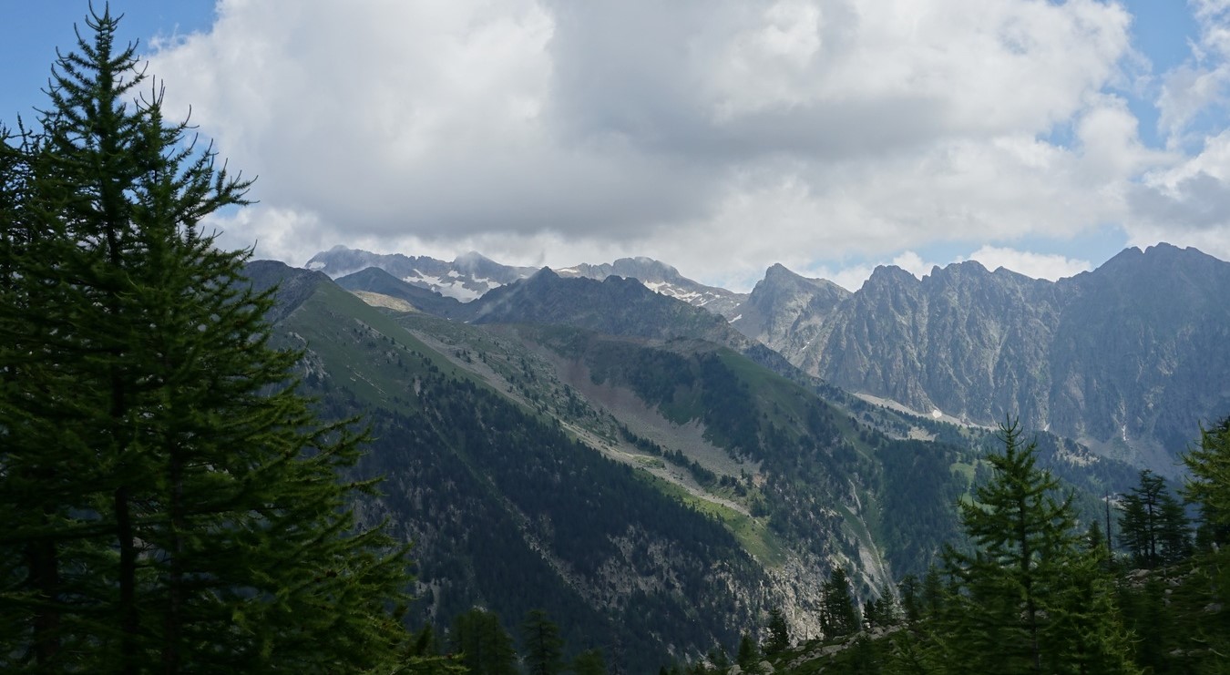
We crossed the stream along a wooden bridge to signpost #397 (Refuge et Lac des Adus etc). The climb in the forest was continuous. Just before the refuge, at signpost #396, we forked left(south) along a path that undulated in the verdant lower eastern flank of Mont Archas. Our trail connected with the trail descending from Mont Archas at signpost #393 (2242 m; the highest point of this hike). From this part of the trail, the views were excellent.
We descended rapidly, first along alpine meadows (above Serre Long), then again in the forest (Vallon du Champet) to signpost #391 where we forked left (north) to signpost #390. At signpost #398, we joined the GR52 and followed it back to our starting point, ascending about 110 m.
This itinerary was easy to follow. The paths were easy to see, markings were in yellow and the signposts clear.
Climb: 780 m
Distance: 9 km
Duration: 4h 10 active hiking time
Map: Vallée de la Vésubie 3741 OT








0 comments:
Note: only a member of this blog may post a comment.