

Collet St-André above Bonson

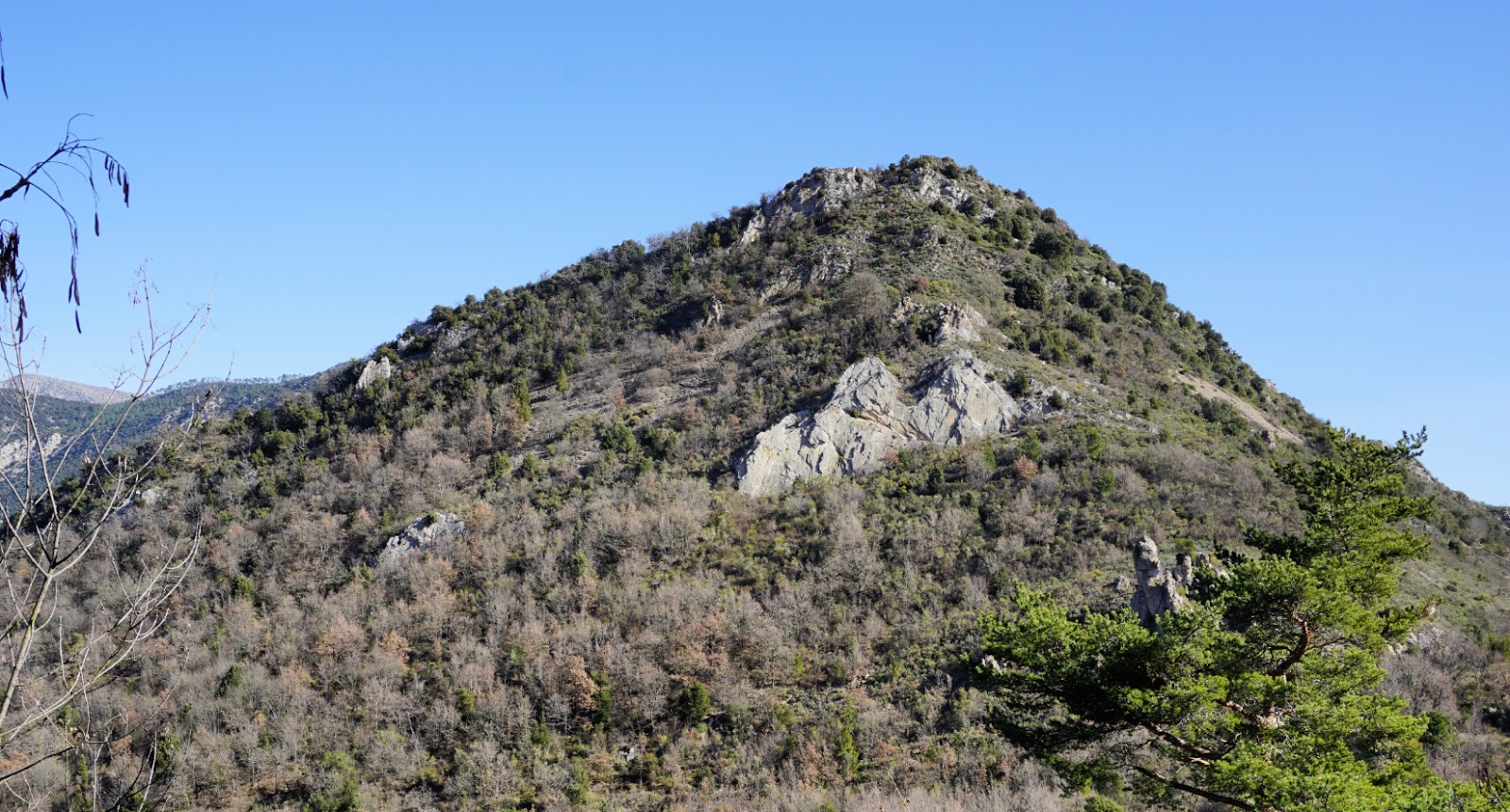
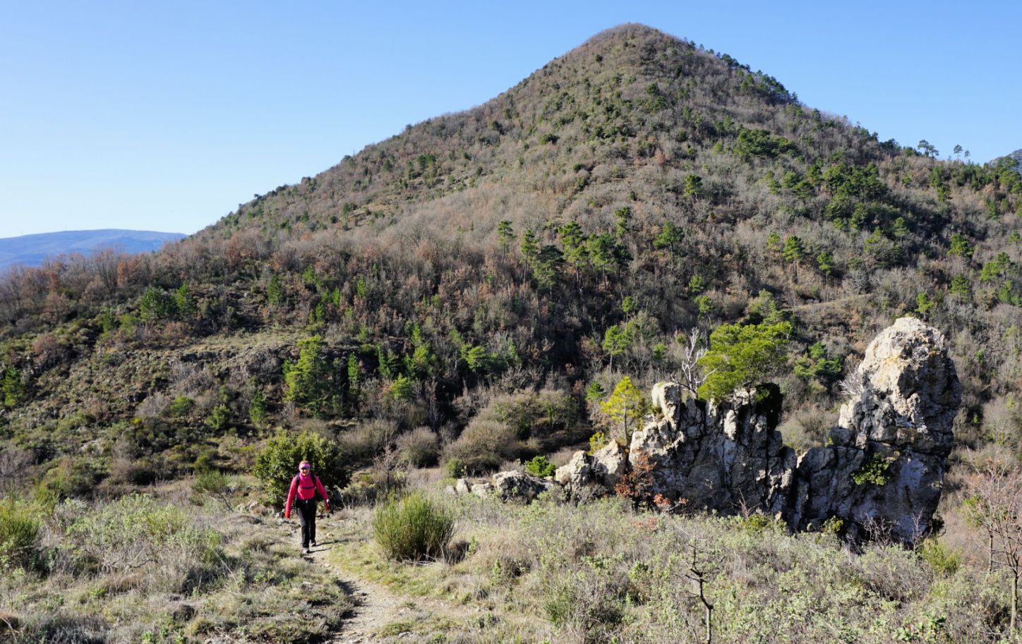
The village of Bonson is perched high above the Var River Valley, but even higher is the sharp mountain top of Collet St-André (757 m). In spite of much higher summits in the vicinity, it dominates the scenery when driving north from Nice.
A marked trail zigzags to the summit along the mountain’s somewhat less steep western flank.
On a gorgeous winter day, we drove through the village of Gillette, and turned towards Revest-les-Roches along M227. After 2.8 km, we parked by the road near signpost #38 at a place named Collet des Sousses (elev. 626 m), our starting point (see map below).
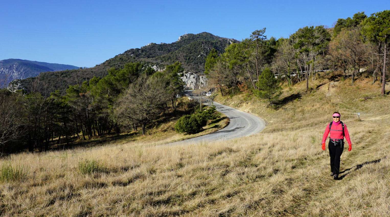

We headed east, towards Baisse du Collet St-André along a forest trail. Unfortunately, the original trail had disappeared after a rock/mud slide, and we had to take a marked detour. This stretch was muddy and wet, but we reached the good main trail soon enough.
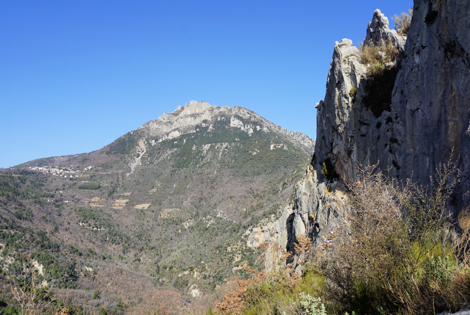
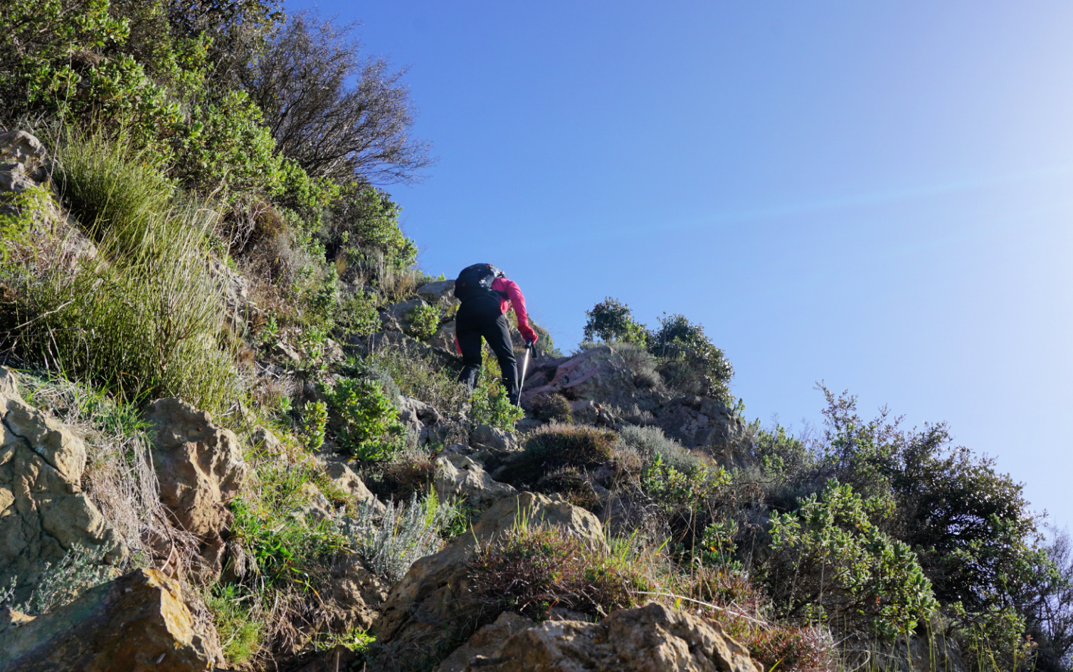
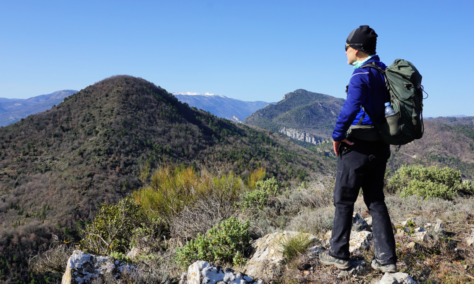
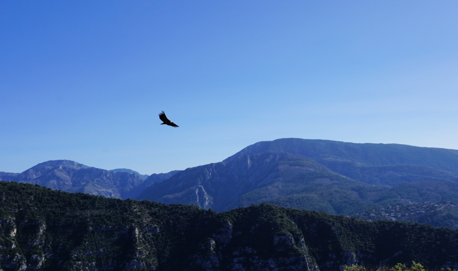
We came straight to Baisse du Collet St-André (signpost #28 at 606 m elev.), and started to climb, passing a rock-climbing site. The gradient increased and some scrambling was needed in the end. We were rewarded with excellent views, and a flock of griffon vultures happened to circle the mountain top.
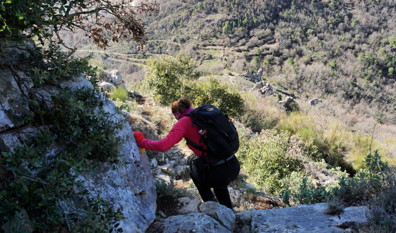
We descended carefully and took the same trail back to our starting point. As expected, it was an off the beaten track itinerary. If you wish to avoid the short muddy part of the trail, it is best to drive to Bonson and simply climb up from there.
Distance: 5.2 km
Duration: 2h 20
Climb: 320 m
Map: 3642 ET Vallée de l’Estéron


0 comments:
Note: only a member of this blog may post a comment.