

Hike above Vence: Baou des Blancs from Plan des Noves

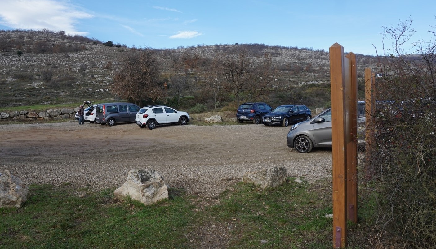
There is a good path from Plan des Noves parking (780 m) just before Col de Vence (963 m) to Baou des Blancs (673 m). The trail is marked with red and white GR signs to the first crossroads, then with yellow signs.
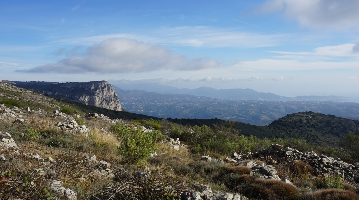
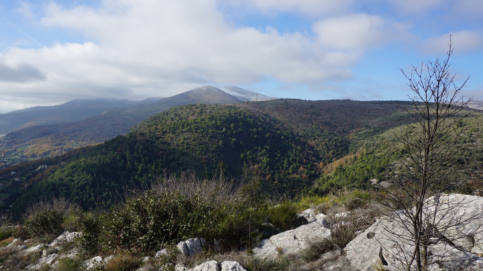
The mountains immediately above Vence have good hiking trails for all year-round use. From many spots you have spectacular views down to the coast as well as to the Mercantour summits. On short December days, you appreciate short travel times, i.e. the proximity of the coast.


On this hike, we used trails that actually were familiar from our previous walks (Plan des Noves Hike; There are 2 more Baous on the French Riviera).
From the parking, we first took the GR trail descending a bit, then followed a piste to Mangia Pan.
We continued heading south, and ascended to Cime des Blaquières (809 m), the highest point on this hike. The big oak on the summit can be seen from the coast. From here, we continued towards Baou des Blancs, passing les Blaquières (basically the southern flank of Cime des B.). All signposts by the trail were rather new. To reach Baou des Blancs, our turning point, a short ascent was needed to the viewing point from where Vence was seen right below us.
We took the same trail back. This trail variant had several ascents and descents both ways. Hence, in spite of modest elevation differences, we logged over 400 m vertical climb.
Climb: 448 m
Distance: 11,8 km
Duration: 4 h

Map: Cannes Grasse Côte d’Azur 3643 ET
Share story


0 comments:
Note: only a member of this blog may post a comment.