

Easy walk from Le Rouret

Le Rouret (310 m) is a quiet, well-maintained village on the D2085 road east of Grasse, about 22 km from Nice.
We have often made this agreeable walk when we needed to build up our hiking form after a pause. The hike is signposted as “Le Camp Romain” as there’s an ancient Roman camp ground dating from 800 B.C. on the hilltop.
The walk can be made all-year-round, even in summer, as most of the trail is shaded by trees.
The archaeological site has been cleared of dense vegetation since our last visit, but to be honest there was not much to see -at least for a layman! But the views from the hill were great on this cloudless winter day.


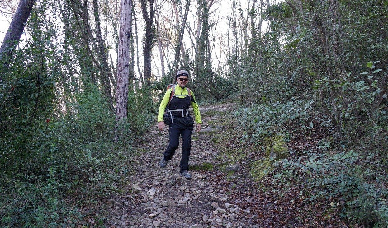

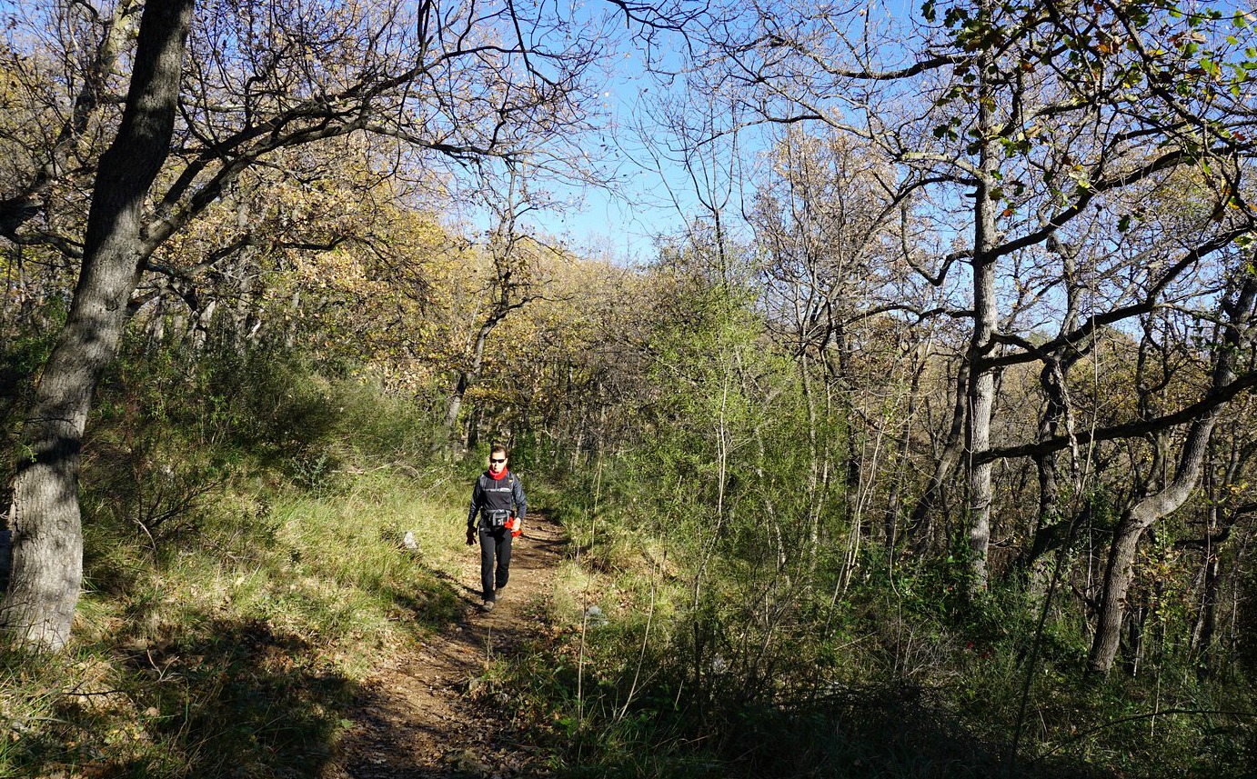


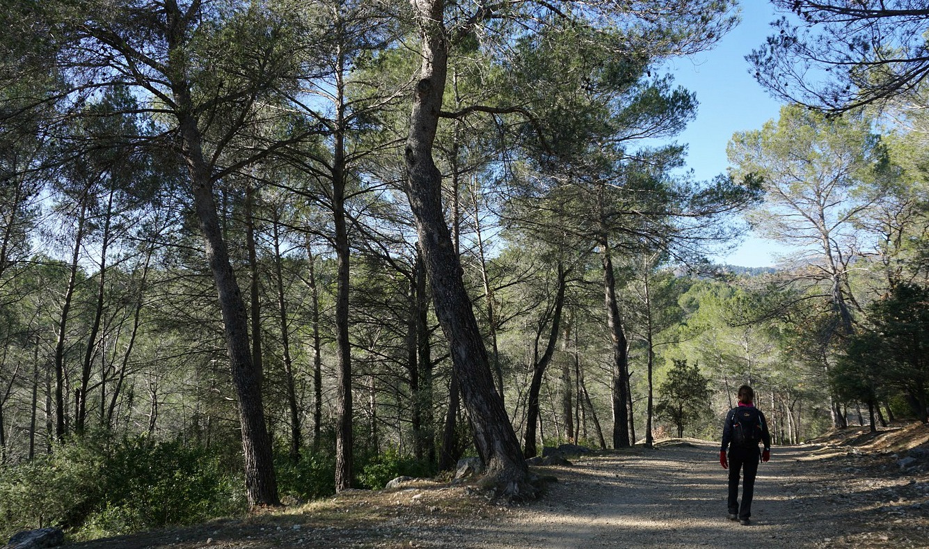
We parked near the mairie of Le Rouret and headed north along Chemin des Pierres de Moulin, crossed Chemin du Castelet (signpost #295 in terrain #131 on the map!). Don’t let the numbers confuse you, the itinerary is clearly marked with yellow signs! We descended a bit along a trail called Chemin du Pont Romain then crossed a stream just before Chemin de Beaume Robert, and forked right. Leaving several houses on our right-hand side, we continued along a trail in the woods. Just before Gorge des Trucs the trail forked sharply left (very well marked), and soon joined the wide dirt track that continued up to the hilltop (479 m). The archaeological site was right behind the telecom mast.
We returned along the dirt track, passing Bois de Rouret and continued along Chemin du Castelet, then forked right at our first crossroads back to the village.
Climb: 240 m
Duration: 2h 10 active
Distance: 7 km
Map: “Cannes-Grasse” Côte d’Azur 3643 ET

Share story


0 comments:
Note: only a member of this blog may post a comment.