

Plan des Noves hike

Plan des Noves roughly 7 km north of Vence along the RD2 road is ancient farmland. Surrounded by hilltops, most of the plateau nowadays belongs to the Parc Naturel Départemental.
In spite of the modest elevation, this easy loop trail offers some great views towards the high mountains, the Baou St-Jeannet, and even a glimpse of the Mediterranean Sea.
The starting point is from the parking (780 m) of Plan des Noves by the RD2 road just before Col de Vence.
It was late March, but signs of spring were scarce. The weather during the last few weeks had been unusually cool and wet.


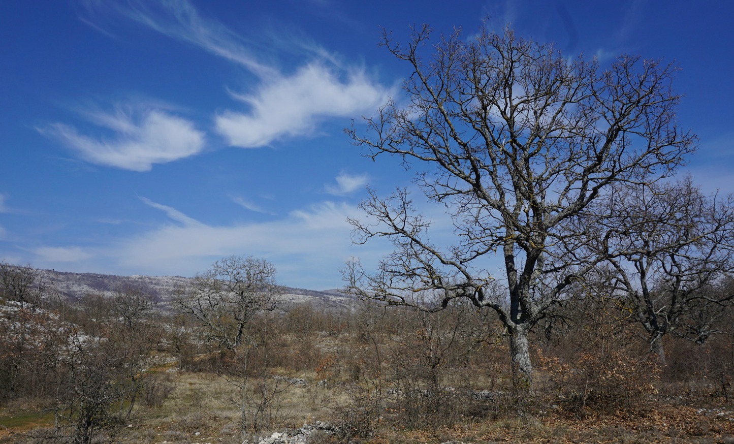


From the parking, we first followed the GR51 trail (white/red markings). Plan des Noves lies about 100 m below the starting point. The signposts marked the correct trail, showing the clockwise itinerary of Circuit du Plan des Noves. There were other paths and trails crisscrossing the plateau. At the first crossroads, we turned left (north), still following the GR51 a bit. After about 300 m, just before some ruins, we forked right leaving the GR trail and followed the trail with yellow markings. We crossed Plan des Noves heading southeast.
We then ascended a bit along a ridge with nice views to the east, notably to St-Jeannet and its Baou. We continued south, passing ruins of a stone hut, then to the west to a hill called Mangia Pan.
The trail now descended to the north, passing more ruins. We soon joined the GR51 again and ascended along it back to our starting point.
Duration: 2 h hiking time

Climb: 240 m
Distance: 7,5 km
Map: “Cannes-Grasse” Côte d’Azur 3643 ET
The image shows our GPS trail. The Randoxygène guide (in French) has a description of this hike, too.
Share story


0 comments:
Note: only a member of this blog may post a comment.