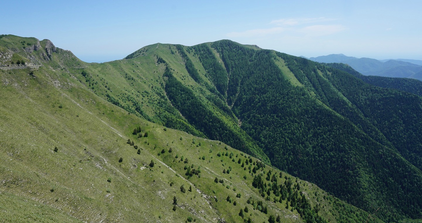
Ridge route to Mangiabo

We have twice before tried to reach the summit of Mangiabo (1821 m) from Moulinet, but had to turn around because the weather turned bad.
Mangiabo which is situated inside the southern part of the Mercantour National Park, is only 18 km from the coast as the crow flies. It is also the southernmost major peak in the ridge that stretches south of Authion. Old military installations are omnipresent all along the route. It is possible to use the GR52 hiking trail that runs along the ridge, partly along dirt tracks, partly along good paths to reach Mangiabo. Compared with a route starting from Moulinet deep in the valley, the summit can be reached from Authion with much less vertical ascent.
On our third attempt the weather was favourable. We drove up to Col de Turini, then to Authion where we took the D68 road that circles counterclockwise the area. The road is paved but potholed, so proceed with care. We drove past Cabanes Vieilles and a cattle shelter and parked at the second sharp bend after the shelter.
We headed straight south along a wide dirt track (GR52) as far as to signpost #151 where we continued along a path in the woods marked with white and red i.e. GR colours. We followed the path to Baisse de Ventabren, took the GR52 trail that followed the eastern flank of Pointe de Ventabren to Baisse de la Déa. The ancient military track circles along the western flank, and we took it on the way back.
From Baisse de la Déa the trail ran along the western flank of the ridge, passing several bunkers. This part of the trail under Cime de la Gonella was a bit narrower and somewhat exposed. We passed signpost #142 and 143 and soon came to #144 from where we had an easy final ascent to the grassy summit marked with a cairn.
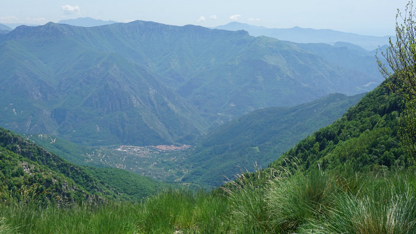
We had a super 360° panorama of the whole region. In spite of some haze, the Mediterranean, Cap d’Antibes etc were visible in distance, and of course the still snow-capped high peaks in the north.
We used the same itinerary back apart from the dirt track circling along the western flank of Pointe de Ventabren (see our GPS track below).
Total distance: 13 km
Total climb: 576 m
Duration: 3h 50 (active)
Map: IGN 3741 ET Vallées de la Bévéra et des Paillons


0 comments:
Note: only a member of this blog may post a comment.