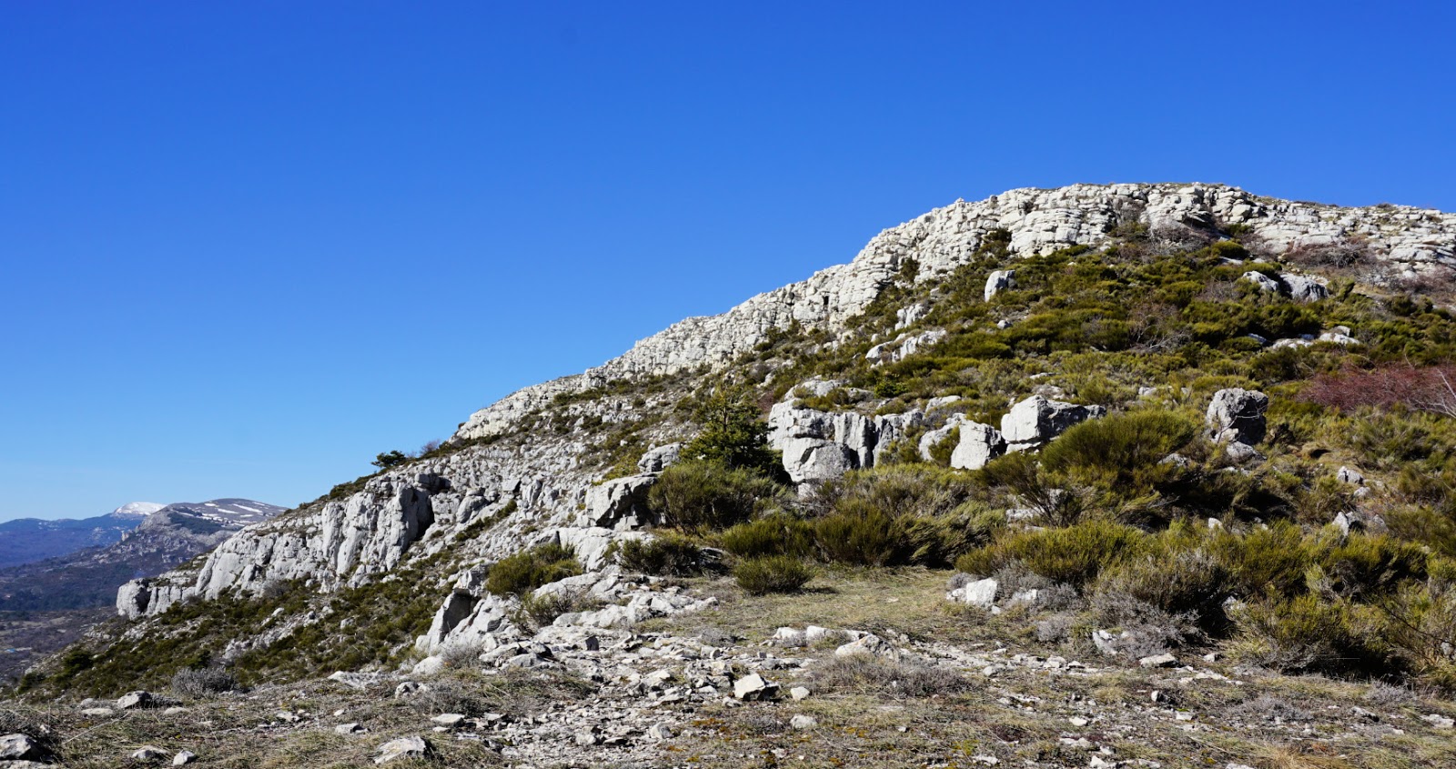
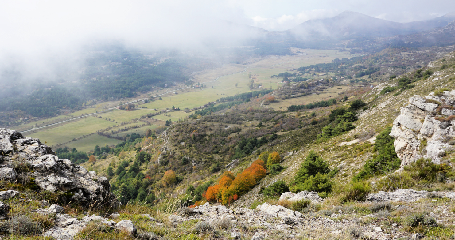
Puy de Naouri from St-Barnabé
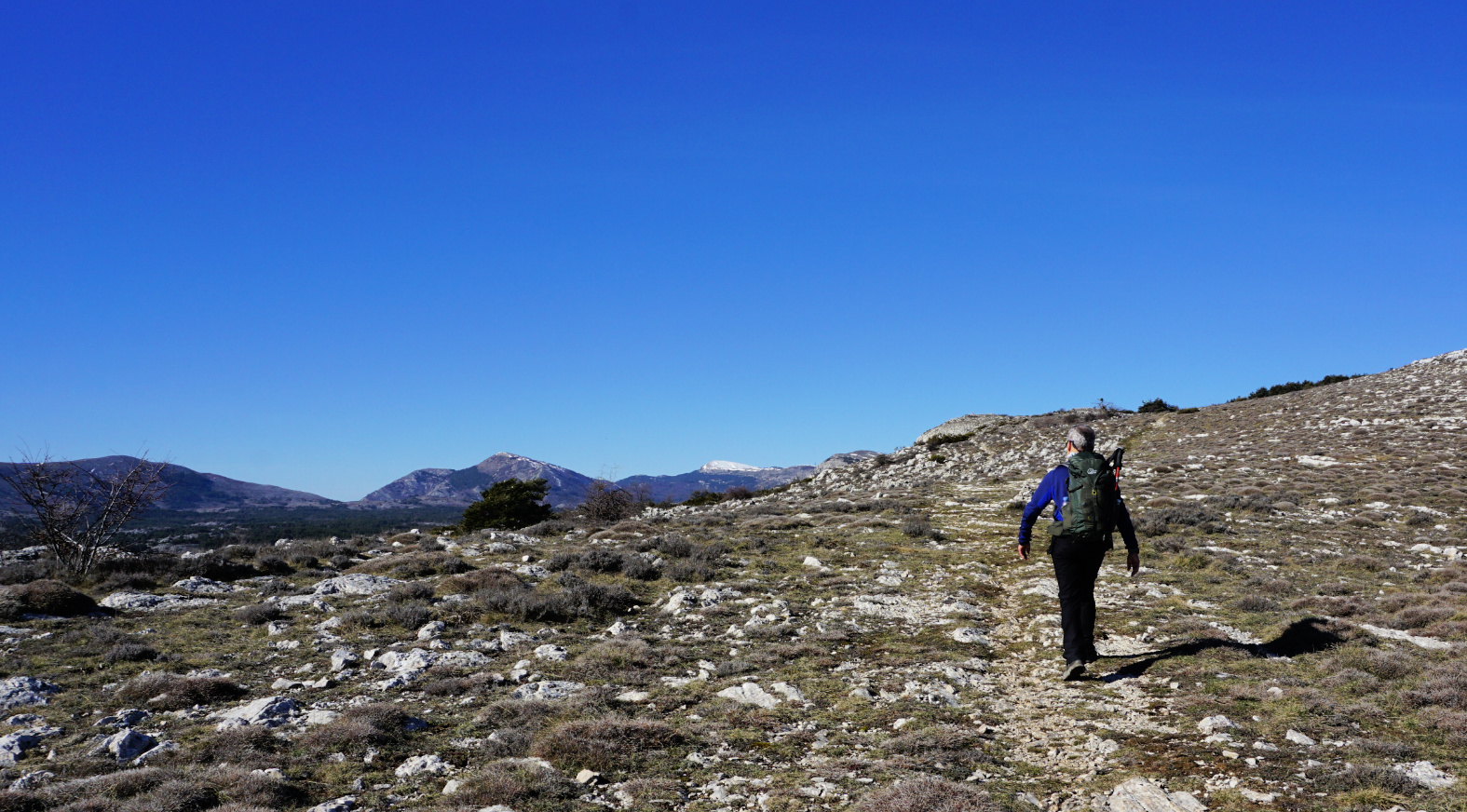
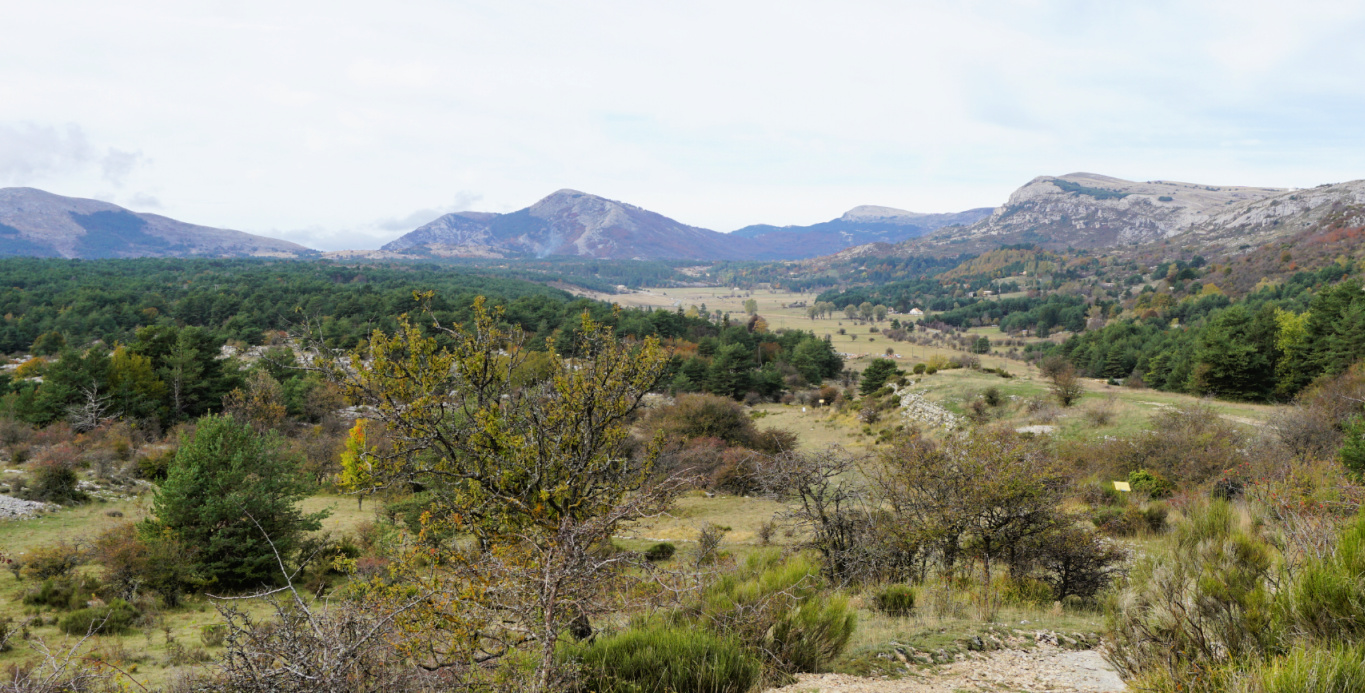
Situated at about 970 m elevation on the St-Barnabé Plateau, the parking by the D302 road is a good starting point for hikes to nearby mountains as well as for exploring the St-Barnabé Plateau itself.
The D302 road forks left about 600 m after Col de Vence, next to the horse stables.
We wanted to explore the trail to Puy de Naouri (1024 m) above Tourrettes-sur-Loup, using the parking as our starting point.
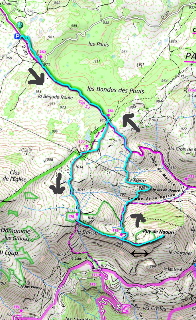
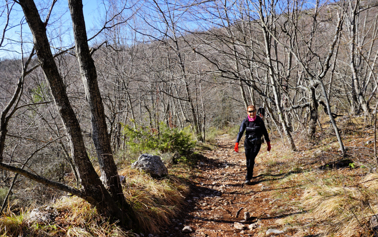
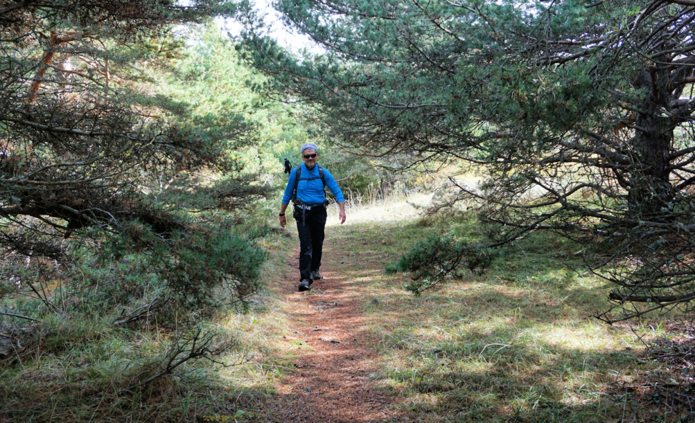
The GR51 trail, the first part of today’s itinerary, runs along the St-Barnabé Plateau next to the parking. From the parking, we first followed the D302 road about 450 m to signpost #262 where we forked right and continued along the GR51 trail southeast. We followed it to signpost #261 where we turned right, leaving the GR51 and headed southwest (yellow markings), then south along the eastern flank of Puy de Tourrettes, climbing a bit.
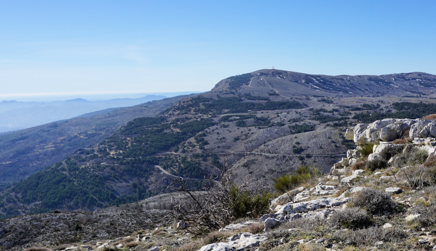
We reached the crossroads at signpost #176 at la Baïsse, forked left (east) towards Puy de Naouri, passing first signpost #178 before a short ascent to the familiar summit. There were two big cairns in addition to some small ones on the summit plateau. On a clear day the summit offers a great panorama.
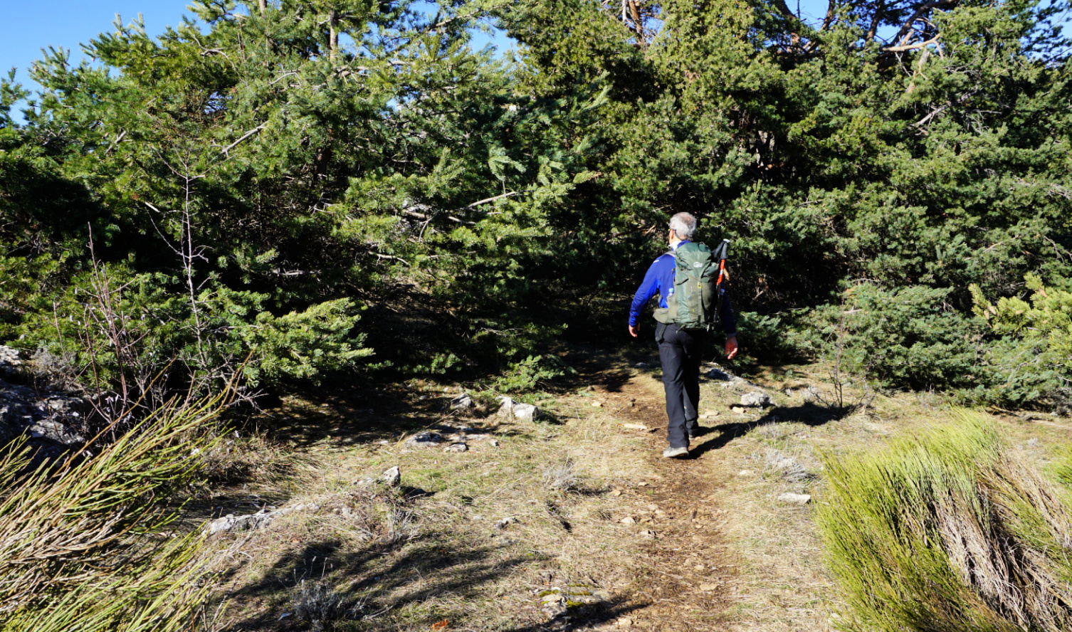
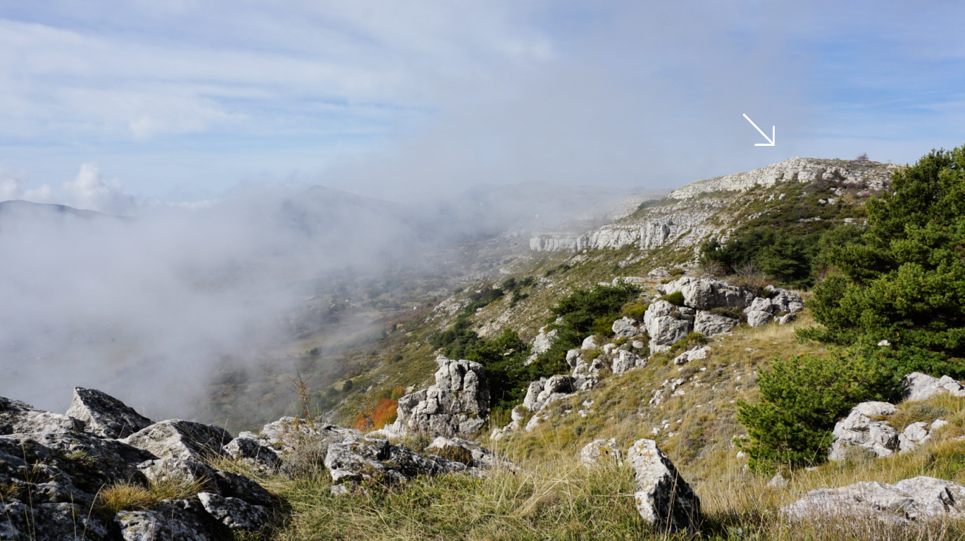
We returned back to signpost #178 where we forked right and descended steeply. After a crisp and clear spring morning, the weather deteriorated. Low maritime clouds, not uncommon in the region in spring, now covered the peaks. We saw a path not marked in maps in a slope in front of us which went to a hill named Pierra. On our digital map, there was a track from Pierra to GR51 which we took. We soon came to GR51, forked left and walked back to our starting point. Our original plan was to descend further along Combe de la Baïsse to signpost #115 and join the GR51 there.
Duration: 2h 50
Distance: 9 km
Climb: 230 m
Map: 3642 ET Vallée d l’Estéron Vallée du Loup


