Ceillac: Lac Miroir
 |
| Lac Miroir eastern shore |
Ceillac (1640 m) is an authentic Alpine Village in the heart of the Queyras Regional Natural Park. The renowned GR5 long distance hiking trail runs through Ceillac. The small village is surrounded by a wide valley with some agricultural and livestock activity.
Towards southeast, the Mélézet Valley is narrower, and is surrounded by steep forested mountain flanks. The GR5 trail starts to climb from Pied du Mélezet, close to a high waterfall, Cascade de la Pisse.
We have previously hiked from Ceillac along the GR5 to the Ste-Anne Lake and Col Girardin. Today’s hike was much shorter, perfect on a day when thunderstorms were forecasted for the afternoon.
 |
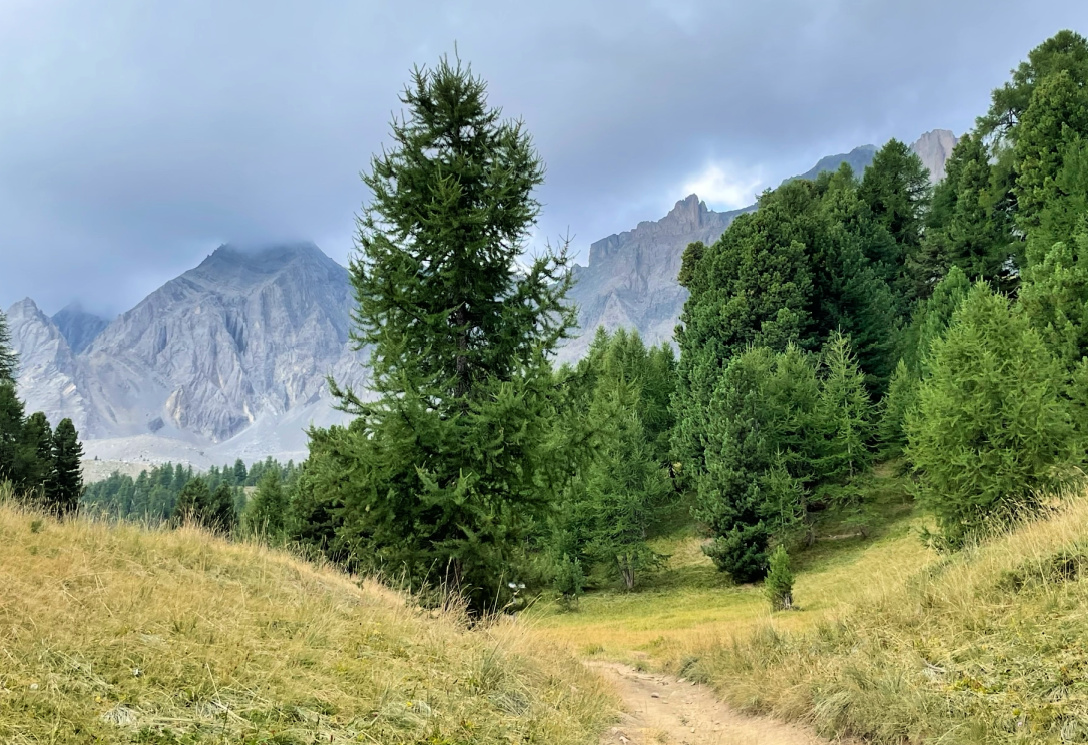
| GR5 from Pied du Mélezet |
 |
| GR5 near Lac Miroir |
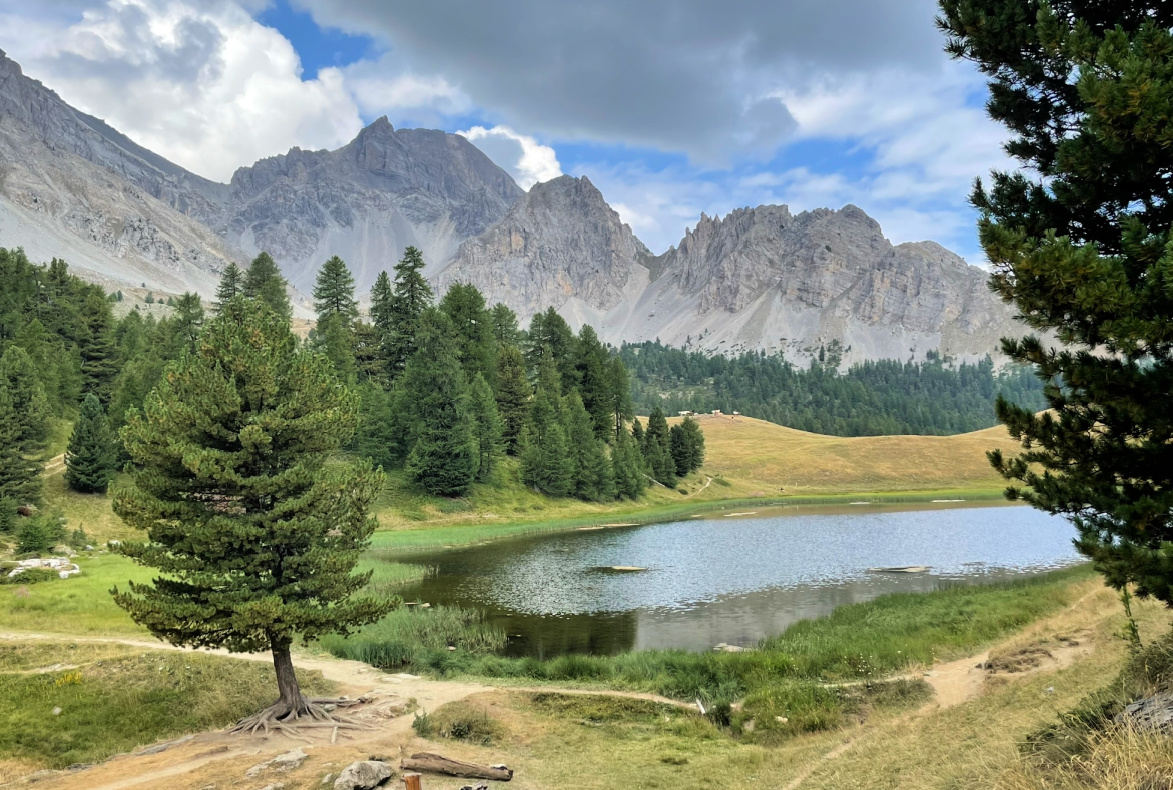 |
| Swiss pine and Lac Miroir |
From Pied du Mélezet (1680 m), we ascended steeply in the woods along the GR5. The trail did not level out until just before Lac Miroir (2214 m). It was surrounded by Alpine meadows, larches, and Swiss pines, pinus cembra. In the south, were the majestic mountain massifs of Pics de la Font Sancte (3385 m) and Pic des Heuvières (3271 m).
After the lake, we forked left at a signpost (image), leaving the GR5. We descended rapidly along a nice path, then came to a wide gravel track. Poles were good to have as the descent was steep. Some guides instruct to continue along the track all the way to the valley, to Cime du Mélezet, then back to the starting point.
We took a shortcut along a path under a ski lift, and headed directly to Pied du Mélezet.
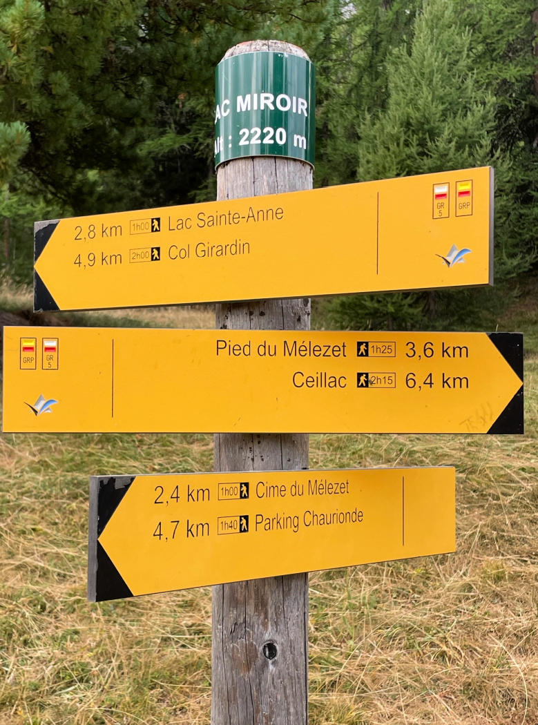 |
| Signpost near Lac Miroir |
 |
| Trail back from Lac Miroir |
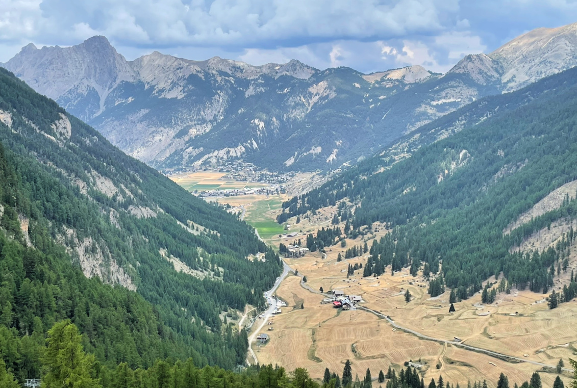 |
| Pied du Mélezet and Ceillac |
Duration: 3h
Climb: 550 m
Distance: 7,5 km
Map: 3637 ET Guillestre
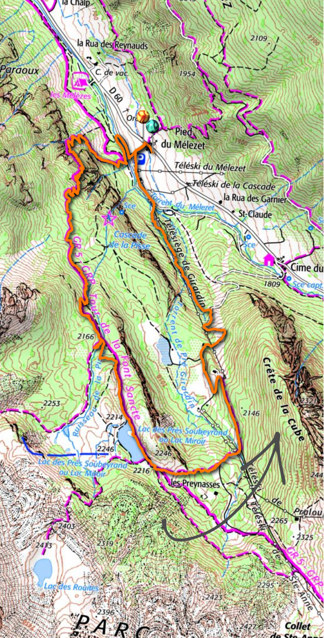 |
| Lac Miroir hike track |


0 comments:
Note: only a member of this blog may post a comment.