Monêtier-les-Bains: Around Aguillette du Lauzet
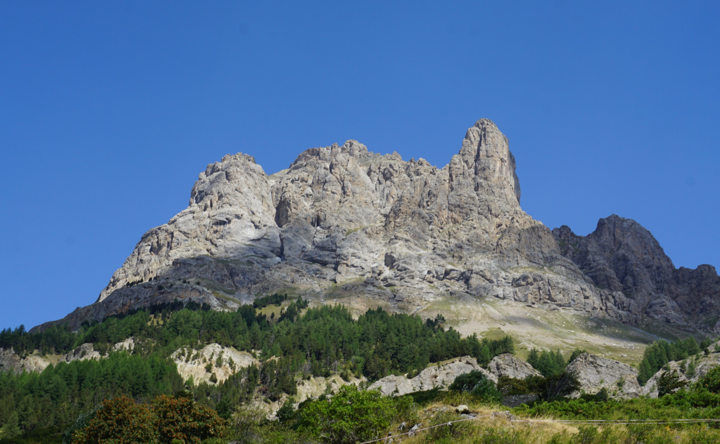 |
| Aguillette du Lauzet |
The following loop around the Aguillette du Lauzet Mountain (2717 m) is nicely described in Bernard Ranc’s great hiking guide Les plus belles randonnées des Alpes du Sud. The village of Le Lauzet is situated just some km northwest of Monêtier les Bains and less than 10 min by car.
For most hikers, the biggest attraction seemed to be Le Grand Lac (2282 m), north of Le Lauzet. The starting point, Le Pont de l’Alpe (1710 m), for both hikes is by the main D1091 road.
 |
| Ascent from Pont de l'Alpe GR50 |
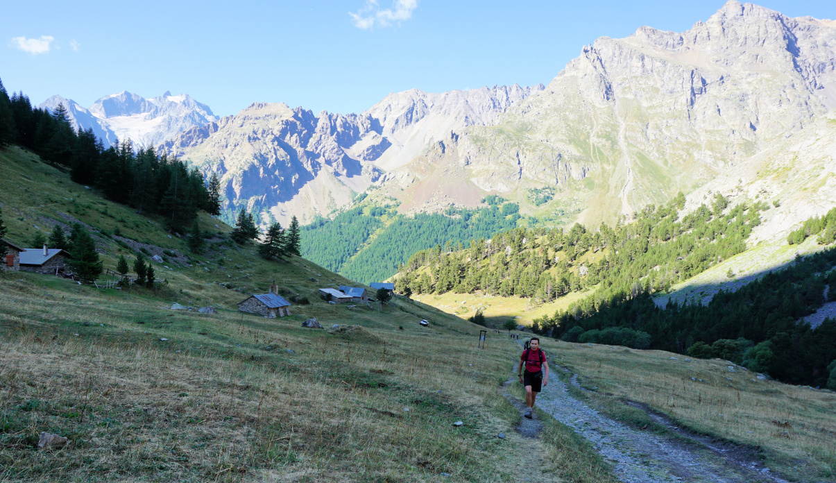 |
| L'Alpe du Lauzet |
 |
| Above l'Alpe du Lauzet |
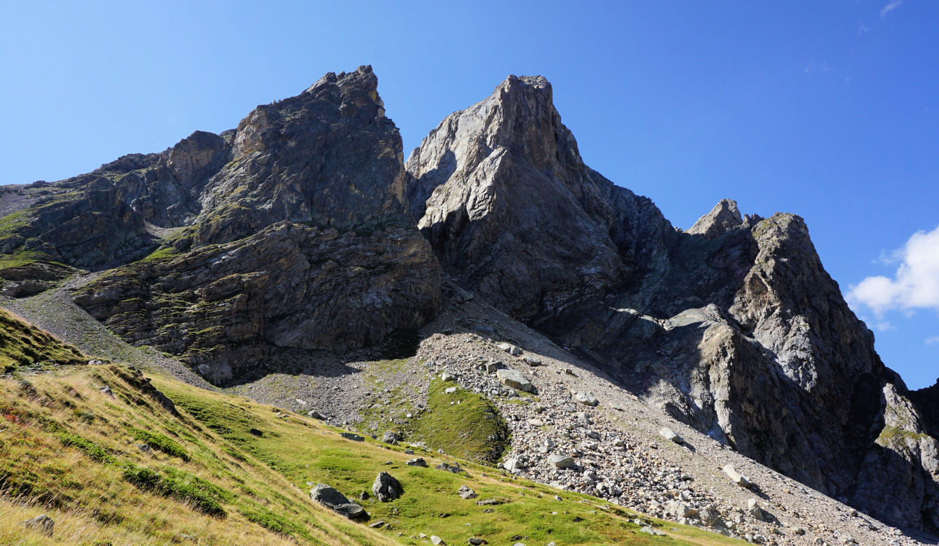 |
| Northern flank of Aguillette du Lauzet |
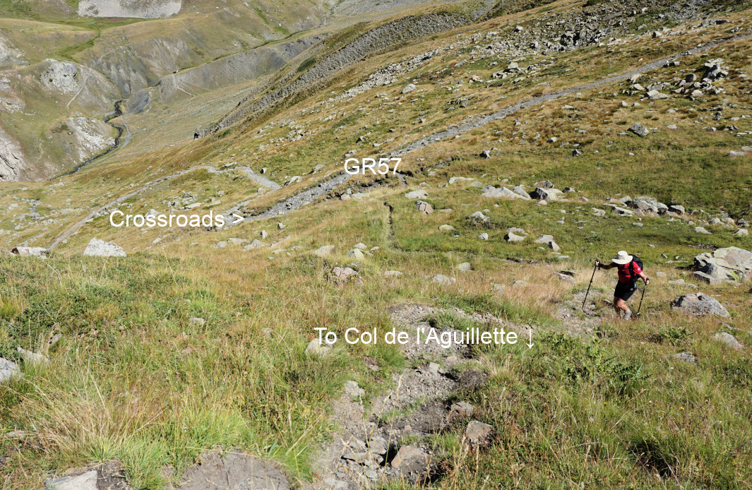 |
| Leaving GR57for Col d'Aguilllette |
We started along the wide GR50 trail, having the steep western flank of the mountain to our right. At l’Alpe du Lauzet (1940 m), one trail forked left to the lake. We climbed northeast, towards Col du Chardonnet, following Torrent du Rif. There was a renown via ferrata to our right, and some climbers took advantage of that.
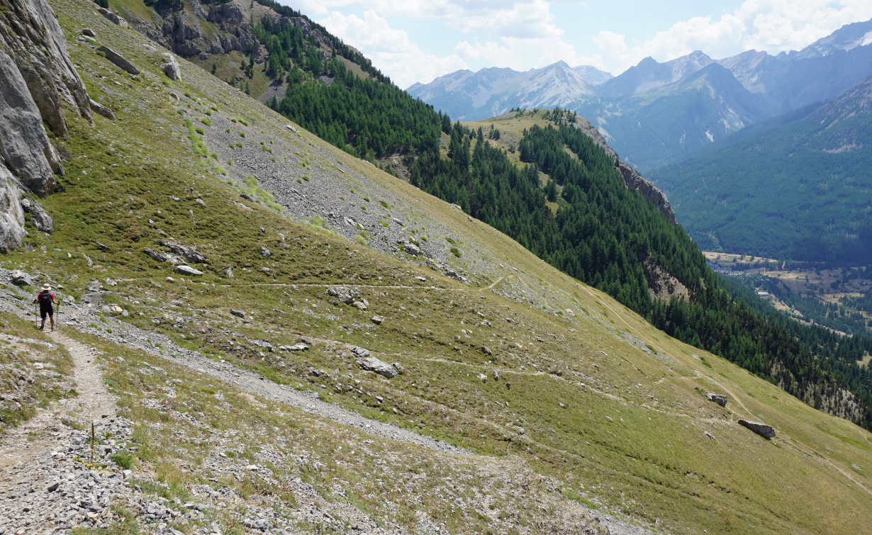
At the next crossroads (signpost), at about 2220 m, we reached the GR57 trail and forked right. We continued towards Col du Chardonnet. After several bends, we saw the unmarked trail at about 2400 m and forked right (image), leaving the GR57, and climbed to Col de l’Aguillette (2534 m). We continued almost horizontally along the eastern flank. Some parts of the trail were a bit exposed and the trail was narrow.
 |
| Col de l'Aguillette |
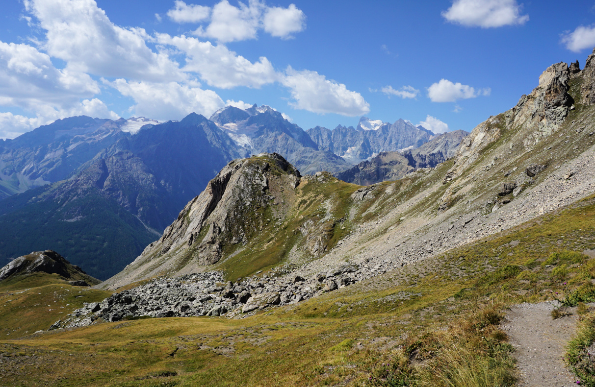 |
| Viewing Les Ecrins from Col de l'Aguillette |
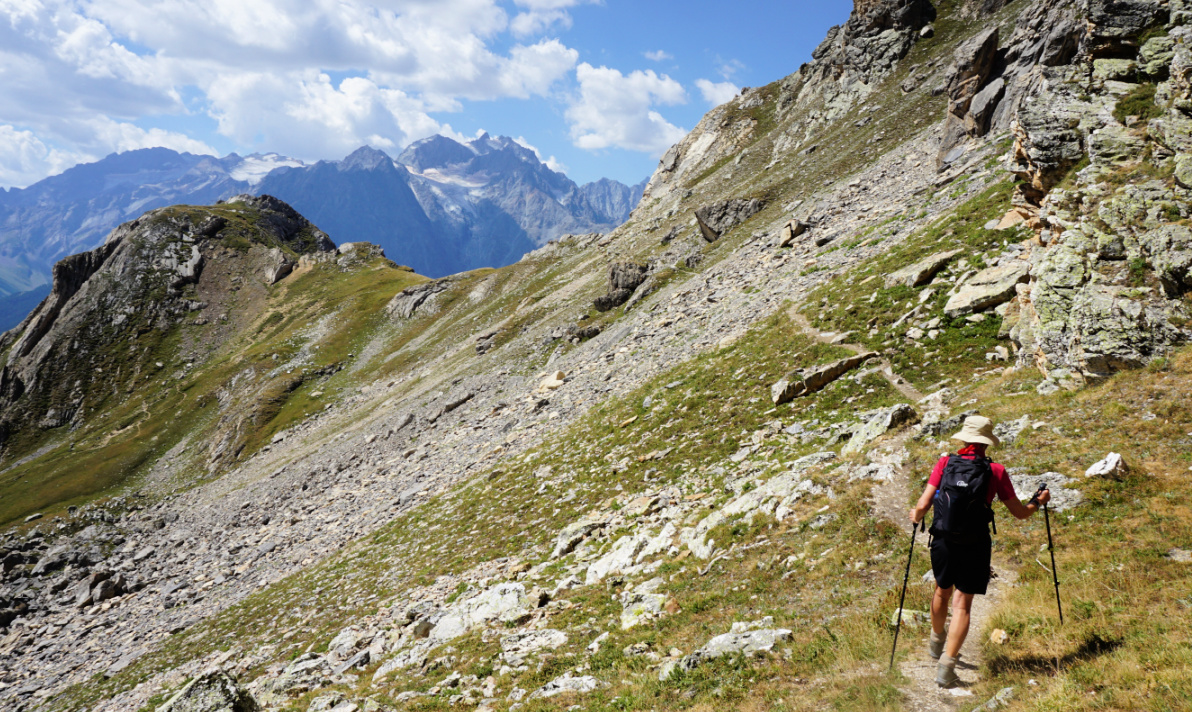 |
| Eastern flank of Aguillette du Lauzet |
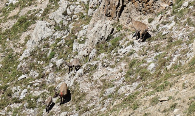 |
| Ibexes on Aguillette du Lauzet |
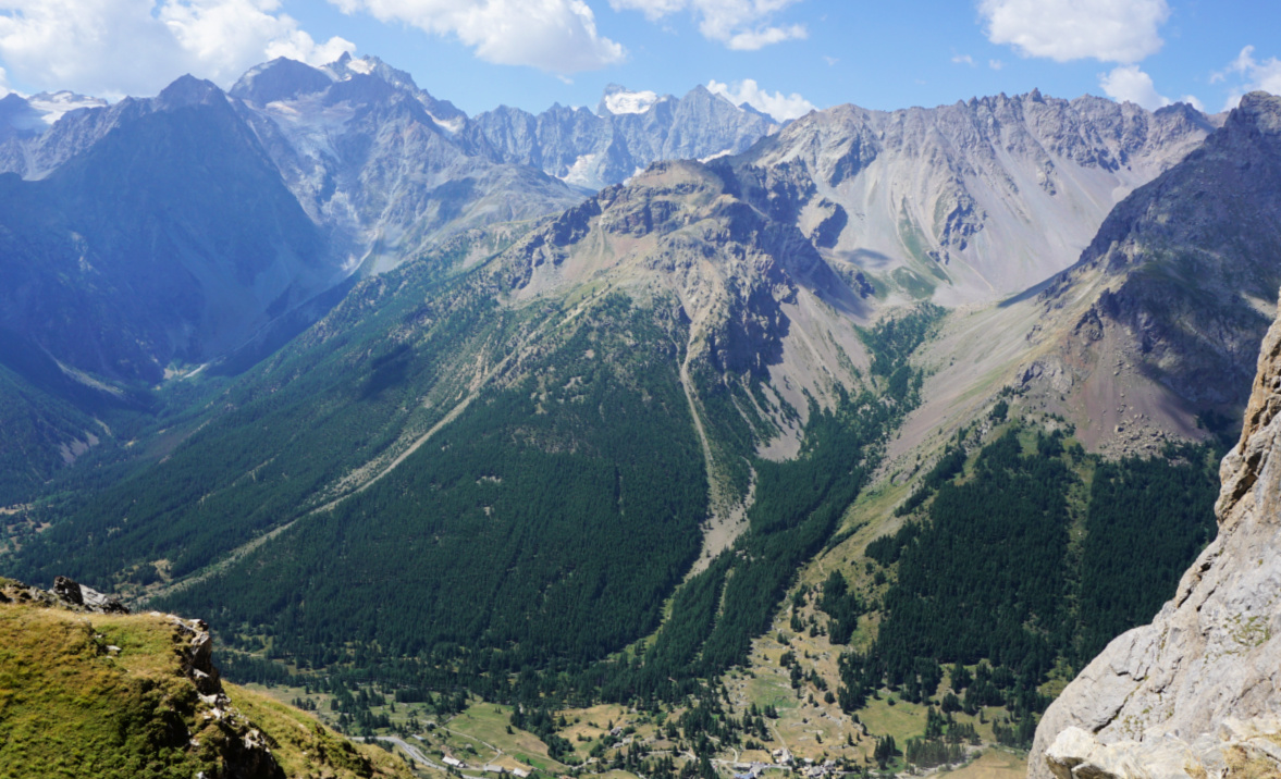 |
| View to La Guisane Valley |
 |
| Descending to GR50 |
 |
| Chemin du Roy GR50 |
We ignored the optional detour to the sub summit (2611 m). There were several ibexes on the nearby incline. We then followed the trail down to the valley and found a great spot for our picnic by the trail. We had super views south to the Ecrins Massif.
We descended along a path in the Rif Lanterne Valley until we reached GR50. We forked right and followed the comfortable path (Chemin du Roy), part of it in a magnificent forest, back to l’Alpe du Lauzet. We then descended back to our starting point.
Map: 3535 OT Névache Mont Thabor
 |
| Aguillette du Lauzet hike track |


0 comments:
Note: only a member of this blog may post a comment.