

Mont Lion from Tourette-du-Château

Mont Lion (1050 m) above the Esteron River Valley can be reached from Gilette or Tourette-du-Château (900 m). We have climbed to Mont Lion a few times from Gilette, and wanted to explore the shorter route from the perched village of Tourette-du-Château by the D27 road.

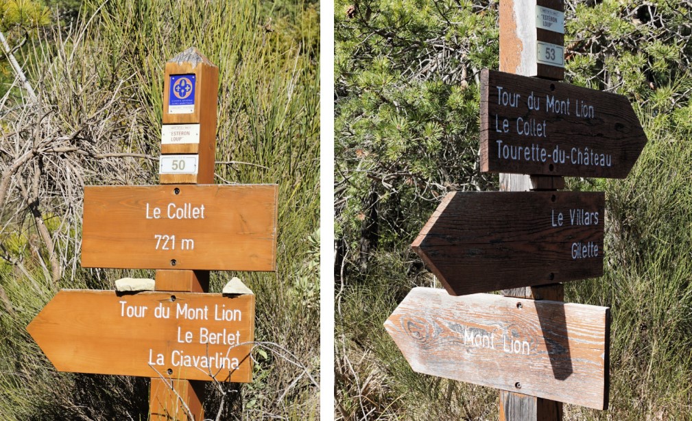


We walked past the church to signpost #45, descended to a wide track which led us straight south to a valley to signpost #50 at 721 m elevation (le Collet). Here you have the option to fork right and circle around Mont Lion, doing the Tour du Mont Lion as indicated in the signpost. It is a longer hike which we in fact did years ago in the summer heat.
We continued straight towards the mountain top, and started to ascend along its northern flank in a nice forest. We reached signpost #53 (950 m elev.) at a crossroads where the path from the east ascended from Gilette. This is also where you arrive if you hike around Mont Lion.
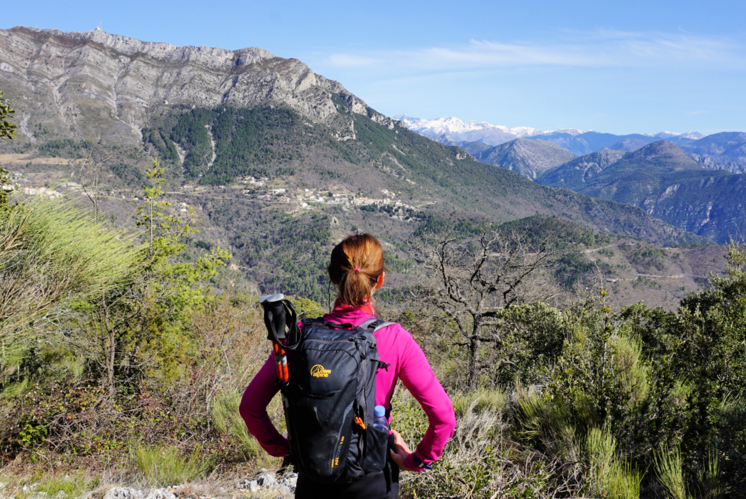
We headed south to the summit. The southern and southwestern flanks of Mount Lion are precipitous. The winter day was almost clear and we could admire the evergreen Esteron River Valley as well as the snow-capped Cheiron Mountain Range further away.
We returned back to Tourette-du-Château along the same trail. It was a short hike in distance but nevertheless included descents and ascents both ways, in other words gave us good interval training!
Distance: 6,1 km
Climb: 530 m
Duration: 3 h
Map: Vallée de l’Esteron Vallée du Loup 3642 ET


0 comments:
Note: only a member of this blog may post a comment.