

Madone de Fenestre: Cime de la Vallette de Prals revisited
 |
We have previously made several hikes in the mountains south of la Madone de Fenestre. Some trails are extremely popular.
The trail up to Lacs de Prals in particular has a lot of visitors during the peak season.
The trails up to the ridge named Cirque de Férisson are less visited. On the day of our hike, maybe one out of ten hikers went there. We felt that another blog post featuring this area was warranted not only because the previous hikes were in autumn.

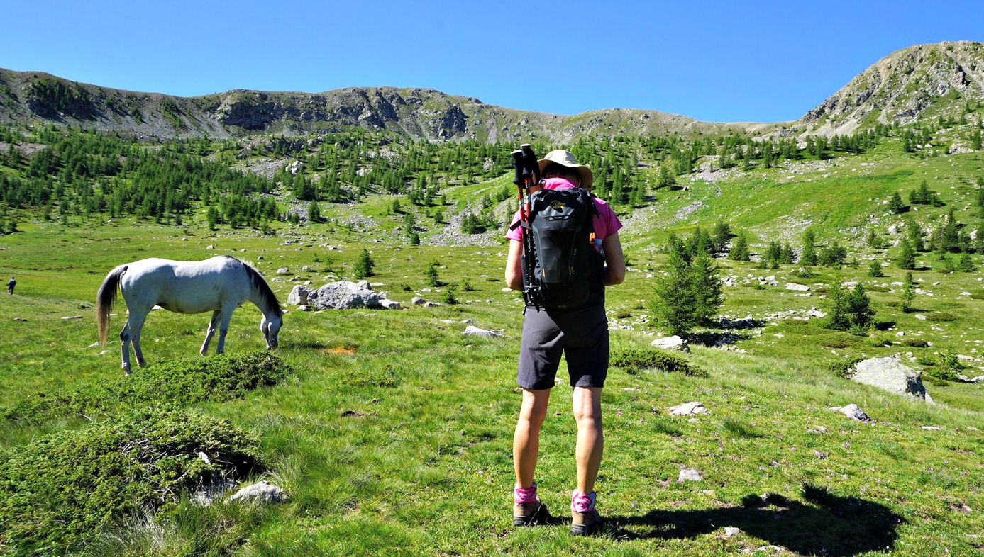


We used a small parking by the M94 road (a sharp bend about 1 km before the sanctuary) and took a shortcut to the trail above us. We ascended in Vallon de Prals, passing signpost #362. At signpost #363 (about 2050 m), we reached the vast Plan de Prals which was used as a pasture area in summer. There were cattle and horses on the day of our hike. We forked right(west), and headed to Tête de la Lave (2375 m), today’s first summit on the ridge.
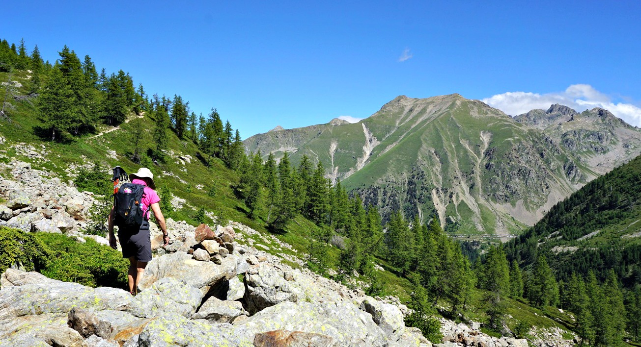
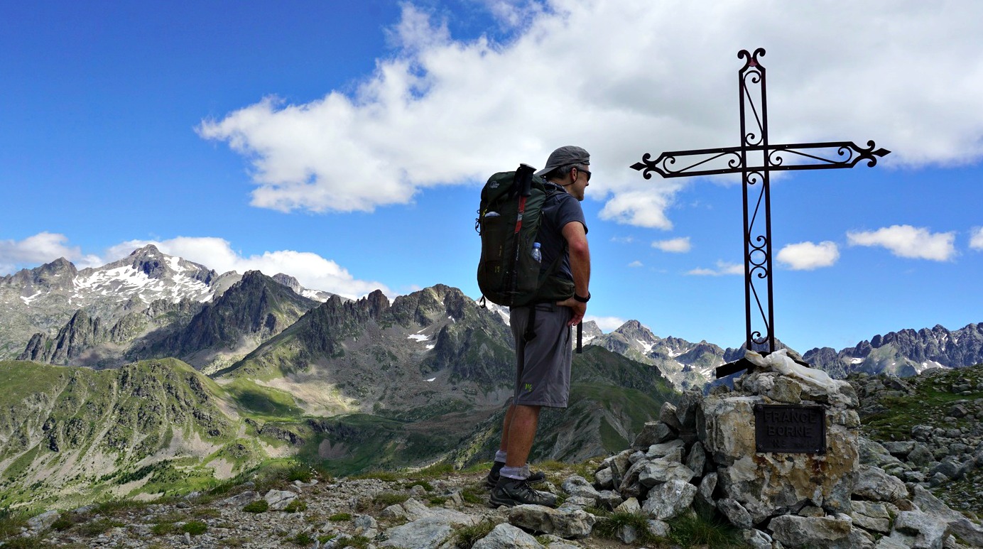
The path west ran just under Tête de la Lave and we climbed off piste to the summit marked with a single cairn. After a short break, we descended to the main trail running under the ridge and headed south. We walked under Mont Pertuis. After an almost horizontal section, we started to ascend towards Cime de la Vallette de Prals (2496 m), the highest peak of the ridge. Signpost #299 was just under the summit (crossroads to Cime de Montjoia). An iron cross was erected on the summit and 30 m further east, a cairn marked the other end.
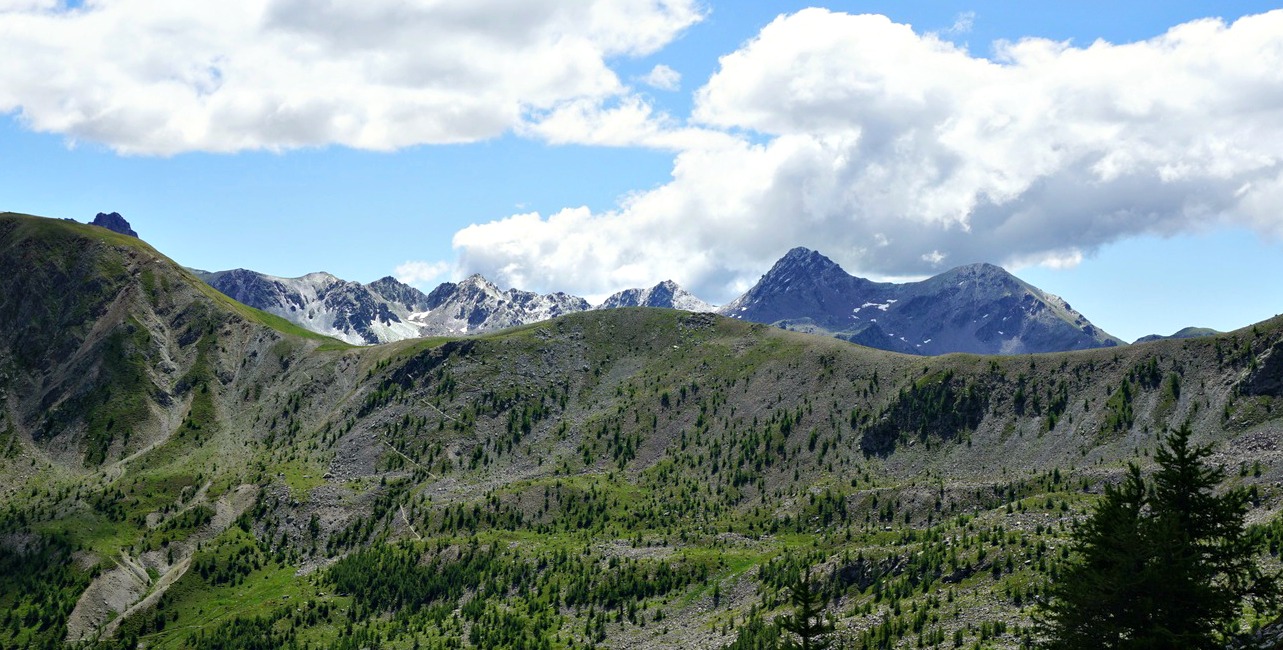
In spite of emerging cumulus clouds, the air was crisp and clear for a July day and even the coast was visible. In the east, Cime du Diable and its surrounding peaks seemed to have a thin snow coat or an ice crust after last night’s thunderstorms.
We descended to Baisse de Prals, signpost #365, then further back down to Plan de Prals via signpost #364. Completing the anticlockwise loop at signpost #363, we descended back to our starting point.
The iPhiGéNie map capture below shows our itinerary
Climb: 720 m
Distance: 10,7 km
Duration: 4h 30 active
Map: Vallée de la Vésubie 3741 OT
 |
| Cime de la Vallette de Prals hike track |


0 comments:
Note: only a member of this blog may post a comment.