

Mont Gros above Sospel
 |
Situated north east of Sospel, Mont Gros (1272 m) can be easily reached along hiking trails from Col de Brouis by the D2204 road (879 m).
Several bunkers on Mont Gros remind us of its military history. Built between 1931 and 1935 as part of the Maginot line, it was allegedly the most expensive fortification in south east France. The only battle where Mont Gros was involved in took place in June 1940, against the approaching Italian troops. The French withdrew from the fortification in July 1940.
The two summits mark the south-eastern point of the Mercantour National Park. The southernmost fir tree forest of the Alps covers the northern flank (inside the park) of Mont Gros.


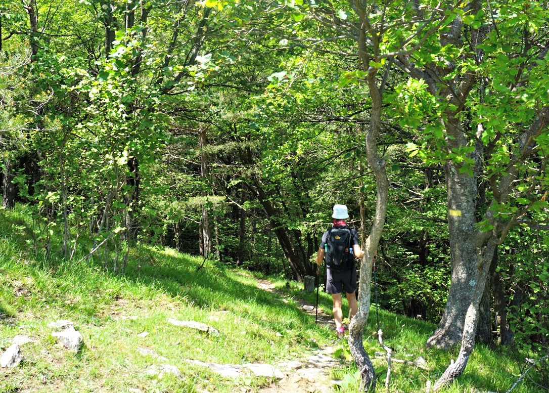
We drove through Sospel and took the D2204 road towards Breil-sur-Roya. We parked at Col de Brouis next to our trailhead, and walked back 100 m to signpost #124. We forked right and walked first along a dirt track, passing a ruined garrison. Following yellow markings, we came to signpost #125 bordering the Mercantour Park. We then ascended continuously in the woods as far as to Baisse de Levens (1068 m), and a crossroads at signpost #139. The trail that forked right went to Mangiabo (1821 m); we took the opposite direction (east) and ascended gently along a trail that ran along the northern flank of Mont Gros in the fir-tree forest.
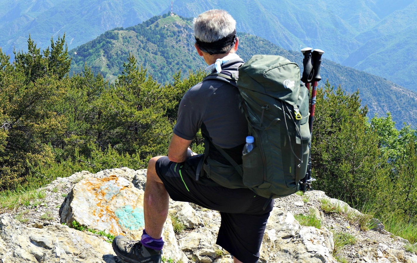
We emerged from the forest and reached signpost #138 on a grassy ridge, turned south and climbed steeply towards the mountaintop. The views from the ridge were excellent, notably towards Sospel, the Bévéra River Valley and the coastal mountains.
We passed the first bunker just before the summit. We climbed to the eastern summit (1266 m), above some bunkers and turrets. We had the best views from here. Continuing southwest, we passed several concrete structures, and climbed to the western summit (1272 m). In spite of being the highest point, it was less impressive. We explored the area a bit more after our picnic break, then descended back along the same trail.
Duration: 3h 30 active
Distance: 8,8 km
Climb: 430 m
Map: IGN TOP 25 N°o 25 “Vallées de la Bévéra et des Paillons” 3741 ET


0 comments:
Note: only a member of this blog may post a comment.