

Courmes to Pic de Courmettes

We have previously made a hike from Courmes (630 m) to Pic de Courmettes (1248 m) where we then climbed via the summit of Puy de Tourrettes (1268 m) back to Courmes.
This time we explored an interesting new trail back from Pic de Courmettes which circled clockwise around the mountain’s southern flank.


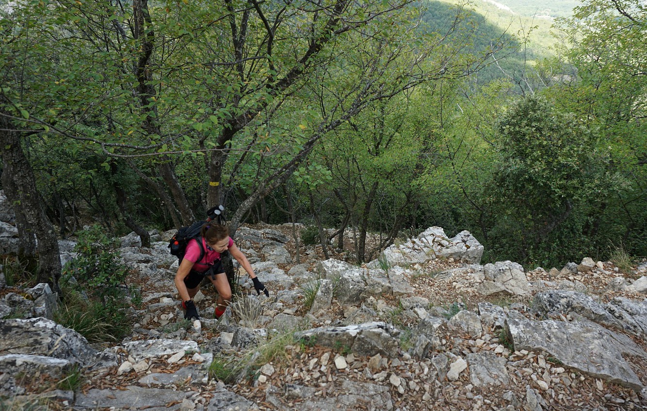


We started along the GR51 trail, heading south. Just before a water reservoir, we left the GR51 which turned sharply left. We continued along a wide track to a clearing at 940 m elev. where we forked left at signpost #189 to the summit. We ascended along the western flank of Pic de Courmettes. The trail became steep in places, requiring some easy scrambling. The trail was now easier to see than on our previous ascent. There were yellow markings but apparently more cairns, too. The first part ran in the woods, then above the tree line. The northern face of the mountain not far from the trail is very steep, to be avoided.
The summit is quite near the coastline as the crow flies, and even on a partly cloudy day the scenery towards Antibes, Cannes etc is remarkable.
We continued along a good trail (still yellow markings) descending south east, then straight south. We passed an oak forest and came to a clearing and ruins (named le Jas de l’Eouvière in some maps) at about 900 m elev. with a livestock fence and gate. A good trail continued behind the gate. It was marked with a small red arrow and a fox. In fact, this was one of the hiking itineraries starting from Domaine des Courmettes, owned by a Christian nature conservation association.
We took this trail which crossed the southern flank of the mountain, between the summit and the Domaine. We ascended a bit (80 m or so), and passed an area of centuries-old oak trees. We then descended to a crossroads (dirt track), forked right to the nearby signpost #189 again, completing the nice loop.
From #189, we used the same trail back to our starting point.
The image below shows our track.
Distance: 11 km
Climb: 700 m
Duration: 4 h active
Map: IGN Cannes Grasse Côte d’Azur 3643 ET

Share story


0 comments:
Note: only a member of this blog may post a comment.