Hike to Cime du Diable

Cime du Diable (2685 m) is a prominent summit in a chain of mountains in the Mercantour National Park, separating the Gordolasque and Roya valleys.
Legend has it that in ancient times the villagers in the Paillon Valley used to believe that devil lived on Cime du Diable, hence its name. When the taxman had visited the villages, they used to say that devil just descended from the mountain.
But there is nothing devilish in the ascent to Cime du Diable; it is a long ascent, but at least you can arrive at the summit along a path, albeit not signposted. Some parts of the trail are steep and exposed but nevertheless negotiable for a seasoned hiker in good weather.
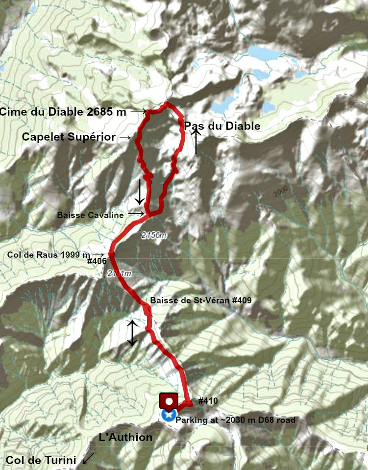
We started from L’Authion above Col de Turini. Starting at 2000 m or so sounds tempting, but keep in mind that this itinerary to Cime du Diable contains several descents, resulting in much more vertical climb.
We parked by the D68 road (2030 m) (one-way counter clockwise traffic), and walked up to nearby signpost #410 (2080 m), next to Pointe des Trois Communes with a ruined fortification. We descended along the GR52 trail, heading north northwest. The October morning was clear, and our summit was well visible but still quite far away. We came to Baisse de St-Véran at 1836 m, marking the lowest point of this hike.
We ascended to Col de Raus (1999 m), then to Baisse Cavaline. After another short descent, the long ascent started, soon in an Alpine environment where the trail (still GR 52) became steeper and rockier.
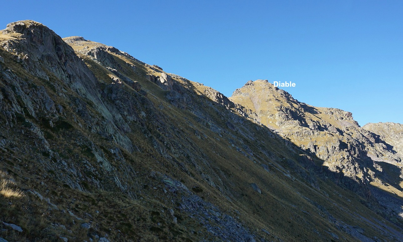
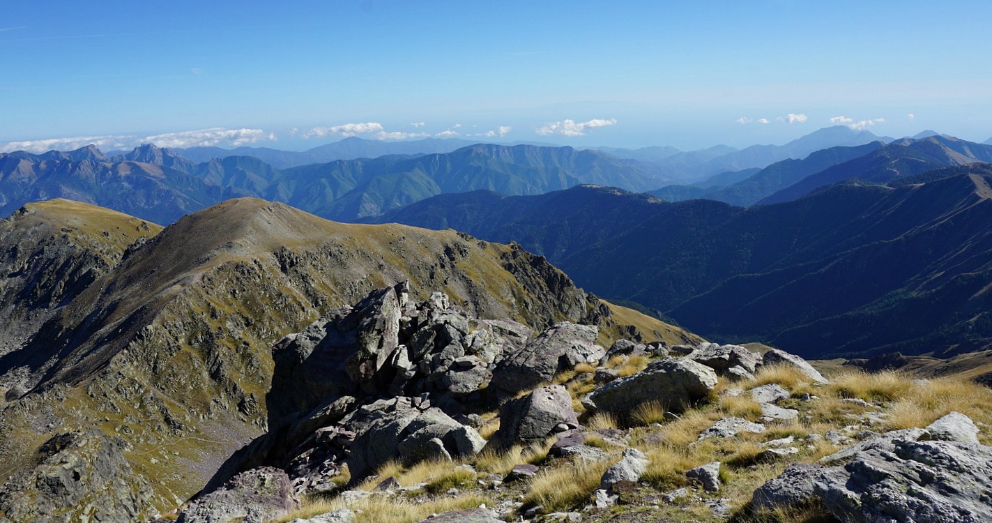
We reached Pas du Diable (2450 m), then Lacs du Diable ; signposts #404 and #405. We forked left, leaving the GR trail, and climbed to nearby Pas du Trem (2480 m). The summit was now above us. The unmarked (some cairns) trail zigzagged steeply on the eastern face. After the exposed part, the trail levelled off temporarily before the final climb to the summit. At the summit, there were two cairns and a stick, nothing else. As you can see from the images and the short video clip, we chose the right day!
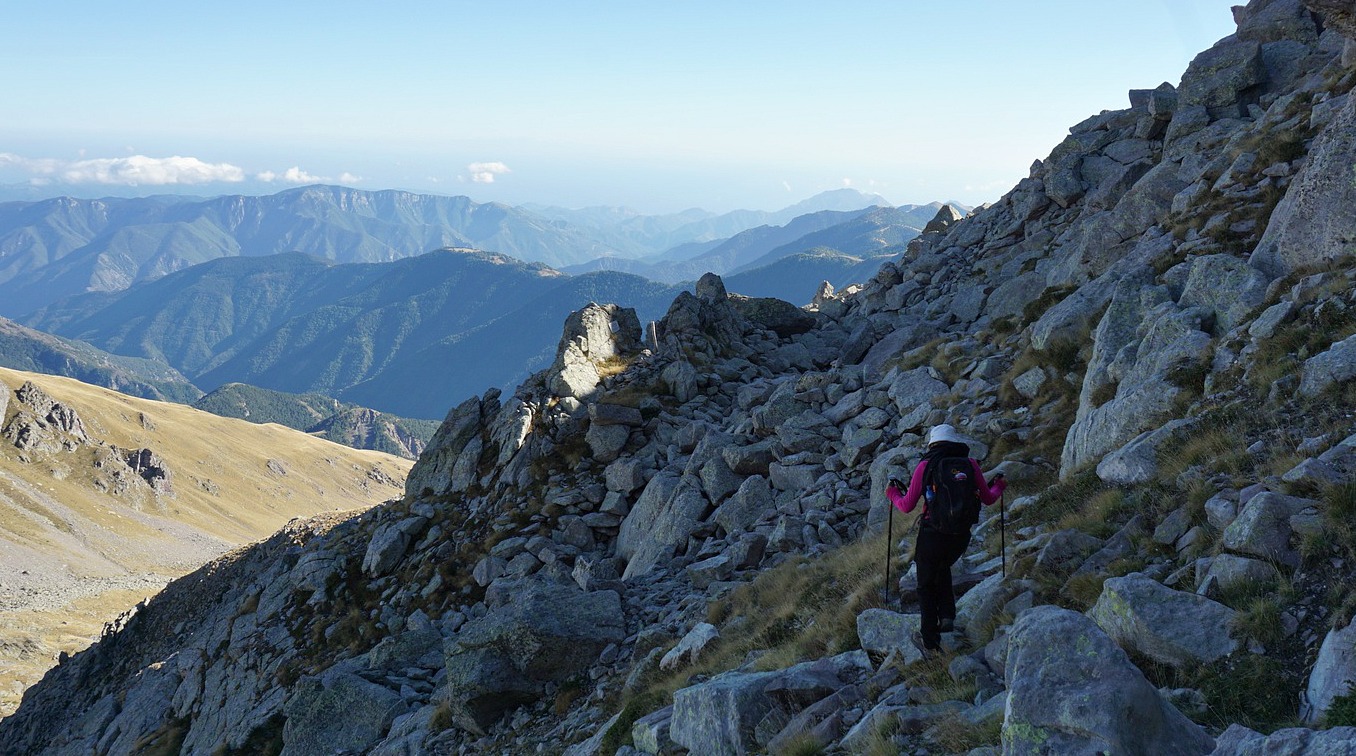
We decided to descend along an unmarked trail (cairns) on the mountain’s southern flank. The trail continued along the eastern flank of the neighbouring Mont Capelet Supérieur (2637 m) where we had to negotiate big boulders in places (last image above). Getting lower, we eventually reached the grassy slopes above Baisse Cavaline, where we re-joined the GR52, and headed back to our starting point.
We met two lamb flocks, dogs and shepherds during the hike. This time the dogs were well trained, obedient and we had no problems in passing them.
Climb: 1170 m
Distance: 17 km
Duration: 7.5 h active
Map: IGN 3741 OT Vallée de la Vésubie







0 comments:
Note: only a member of this blog may post a comment.