

Arvieux: La Chalp to Cabane du Plan du Vallon

After two strenuous hiking days, and in the hassle of the day before the Tour de France, we just wanted to make an easy walk, starting directly from our hotel in la Chalp Arvieux (1685 m). Following the GR58 to the picnic area at Cabane du Plan du Vallon seemed like a good idea.
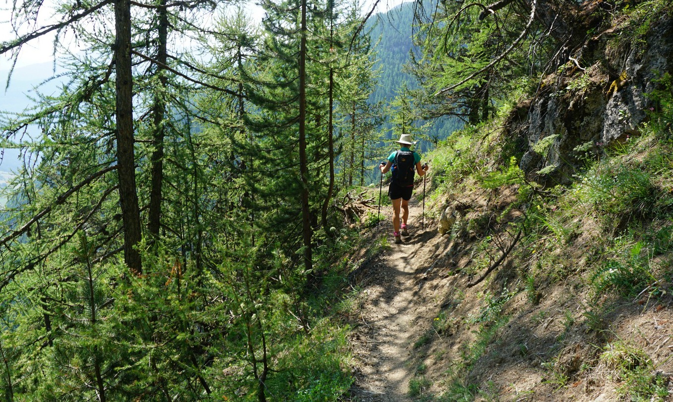
Well, we got a bit more than we wished because the trail down from Crête de l’Echelle (1934 m) was fairly steep and delicate. So never leave for your hikes without hiking poles!
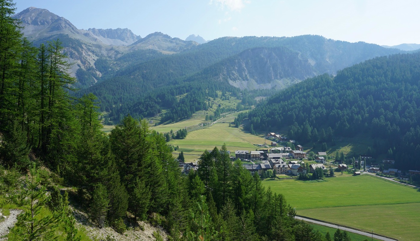


From the parking in la Chalp, we descended a bit, then crossed the dry riverbed and headed south about 100 m, then forked right along a path that soon merged with the GR58.
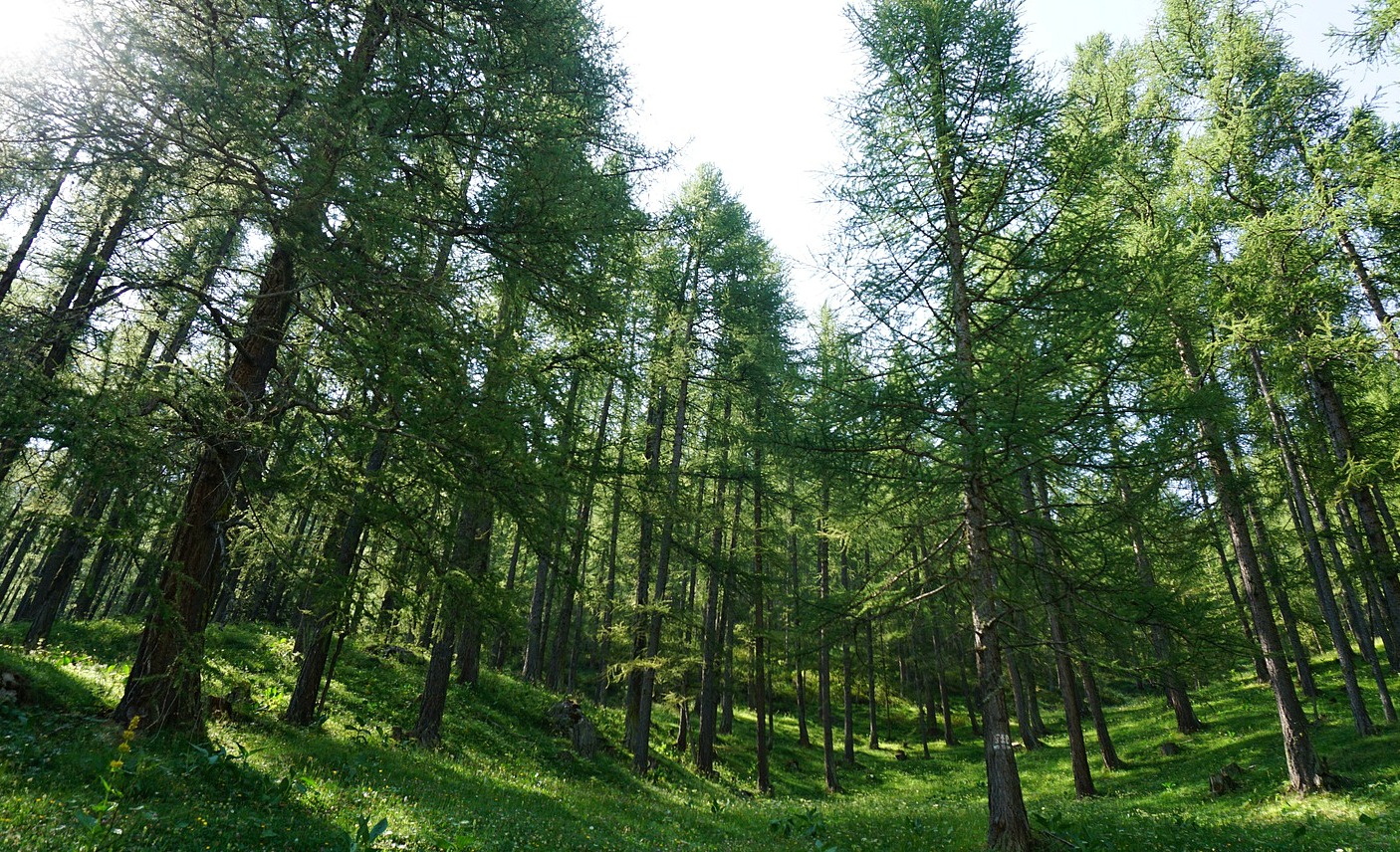
We continued along GR58, passing a dirt track and a crossroads (Torrent du Combe Bonne 1770 m), then ascended in a magnificent larch forest to Crête de l’Echelle along a good soft trail.
Descending from the Crête along its southern flank, the trail became narrower, rockier and steeper. We passed some rock slides. We came to a crossroads next to the dirt track that went up the valley. Still following the GR markings, we continued ascending along a wider trail for a while, then again along a forest trail, passing a small lake before reaching our goal today. The cabane turned out to be just a tiny hut next to a forest clearing.
On the way back, we used the same trail to the intersection by the bridge, then followed a wide trail towards Arvieux (a GR58 variant trail). At a signpost before Arvieux, however, we forked left, taking the path to le Coin, walked through the village, then ascended back to la Chalp along a track that followed the river.
The image below shows our itinerary.
Distance: 10,6 km
Duration: about 4h 45
Climb: 690 m

Share story


0 comments:
Note: only a member of this blog may post a comment.