

Arvieux: Brunissard to Col de Néal

This hike crosses the Alpine Chalets of Clapeyto. The chalets were built in the beginning of the 19th century. The village men ascended there in the end of July to make hay, then descended back to the valley. The elderly and children arrived in mid-August with the cattle. They stayed up there until the end of September watching over the cattle, milking and making cheese. At the end of the 19th century, this activity was discontinued and shepherds took over.
The trail we describe here passes through the hamlet of Clapeyto. Many of the chalets are now restored and used as summer homes.


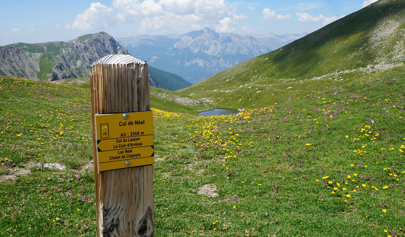


From the village of Brunissard (1796 m; just south of Col d’Izoard) we first followed the GR5 trail, passing a camping ground, then continued to Le Pra Premier (2050 m; an alpine meadow en route), still following the dirt road. We continued along GR5 a bit more to a crossroads at l’Eychaillon where we forked left, leaving the GR5 and headed towards the Chalets of Clapeyto. Some of the houses were nicely renovated and occupied. The dirt track ended after the last houses, and the trail proper continued along vast meadows. We headed towards Col de Néal (2509 m).
Before Col de Néal we walked past some small lakes (Lacs du Cogour) and marshes, and first ascended to a signpost named Lacs Marion (2520 m). We continued to nearby Col de Néal where we had Lac de Néal below us.
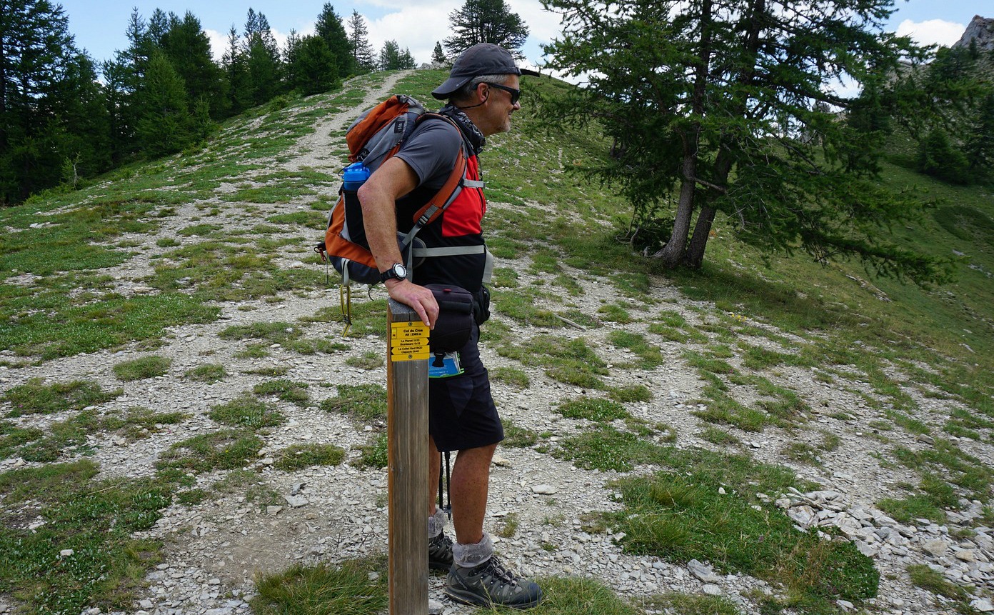
After a break we continued along the trail towards Col du Lauzon, but forked left (crossroads marked only with a stick of wood) after about 350 m (at 2536 m elev.) and started a steep descent in the valley west of the precipice of Pic de Balart Massif (2736 m). At this point, the return itinerary became more “sauvage” as we proceeded in a north-easterly direction towards le Collet (small huts well below our trail on the left-hand side). We still had another ascent in front of us, namely to Col du Cros (2303 m) before the final long descent to our starting point. The trail first ran in rocky high alpine terrain, then in a larch forest before Brunissard.
Distance: 15 km
Climb: 800 m
Duration: 5h 30 active
Map: 3537 ET Guillestre Vars Risoul

Share story


0 comments:
Note: only a member of this blog may post a comment.