

Scenic loop trail in Vars

Several hiking trails start from Vars winter sport resort. Some of them cross the ski runs where maintenance work is often conducted during summer months. We have previously made several good hikes from Vars, using our car to the starting point. This time we wanted to start right from the village centre.
This great and beautiful circuit runs from the upper part of Vars, les Claux , to Col de Vars and back, avoiding the alpine ski area. There’s no need to use your car if you stay in the village.

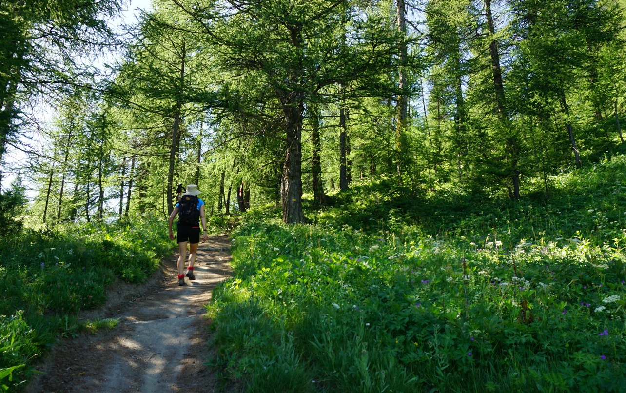


From our hotel, we ascended to the big parking by the main D902 road. Our trailhead (first image) was just above the parking at 1930 m elev.
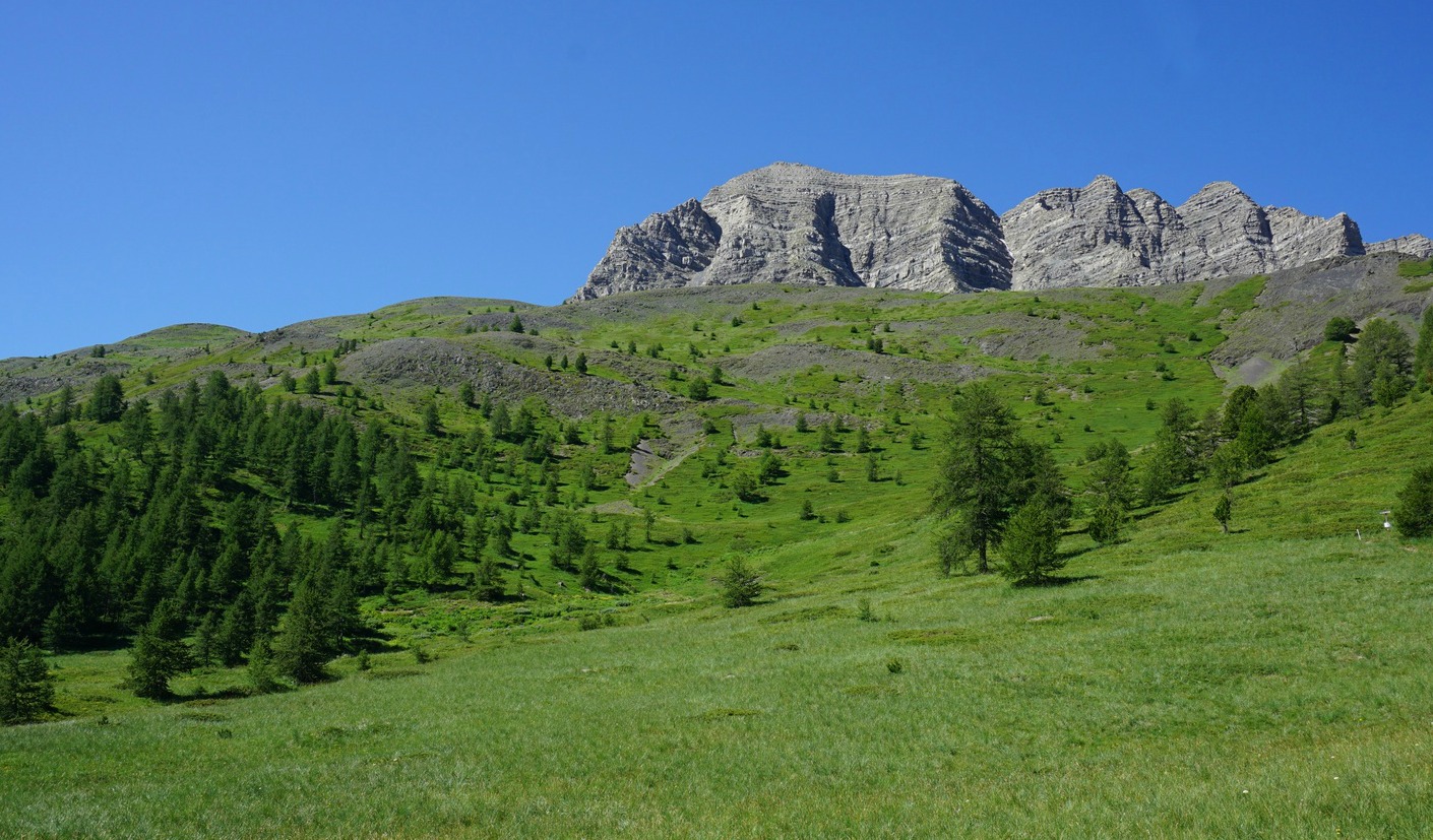
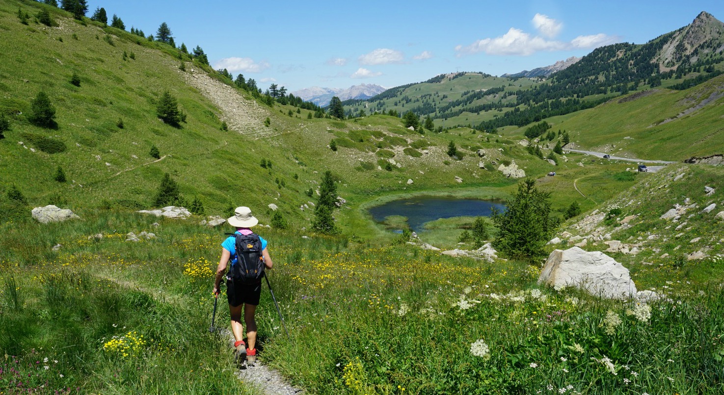
We forked right, following the good trail into the woods. The left-hand trail was for our return. The trail soon turned south southeast, first in the larch woods, then, above 2100 m, in the alpine meadows. The Eyssina Mountain Massif dominated the landscape on our right-hand side. In front of us, we had the familiar shape of Paneyron and further away to our left, several 3000 m+ peaks such as la Mortice and Pic des Houerts.
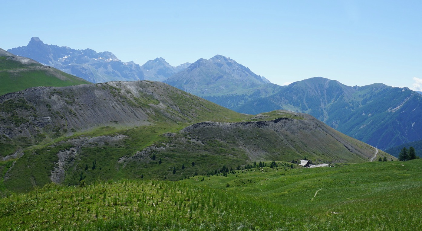
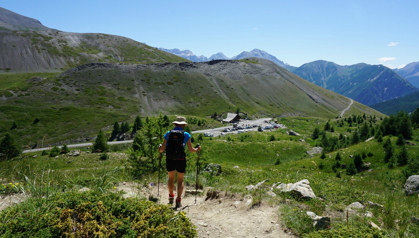
We hiked past Cabane l’Ecuelle, at 2222 m elev. and crossed a stream. We started to descend, and had Col de Vars (2110 m) in sight. At the Col, the restaurant was very busy on this sunny July day. After a light lunch, we headed back along the lower trail that followed the road, past a helipad then crossed livestock pasture area. The return trail undulated partly along meadows, partly in larch woods. Most of the time the main road remained hidden below us.
We came back to our first signpost and walked down to the village.
Duration: 3h 30
Climb: 371 m
Distance: 10 km
Map: IGN 3538 ET "Aguille de Chambeyron Cols de Larche et de Vars"

Share story


0 comments:
Note: only a member of this blog may post a comment.