

Pic de Château Renard 2989 m

Pic de Château Renard (2989 m) is one of the classic ascents from Saint-Véran (2050 m), a famous village in Queyras.
We, however, chose to ascend from Fontgillarde in the l’Aigue Agnelle River Valley. This valley connects with Italy over Col Agnel (2744 m).
From Molines-en-Queyras, we took the D205T road towards Italy, passing the hamlets of Pierre Grosse and Fontgillarde.
We started from a place named Pont de Lariane (2024 m) with a large parking by the D205T road and the river, soon after the hamlet of Fongillarde.
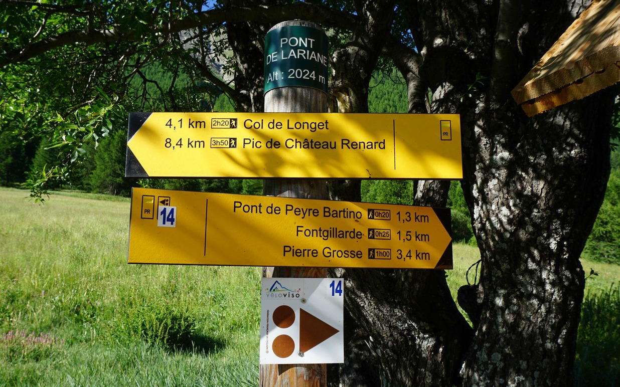
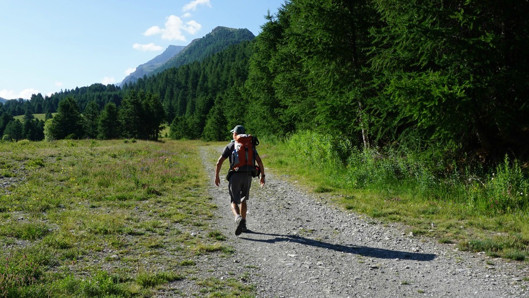
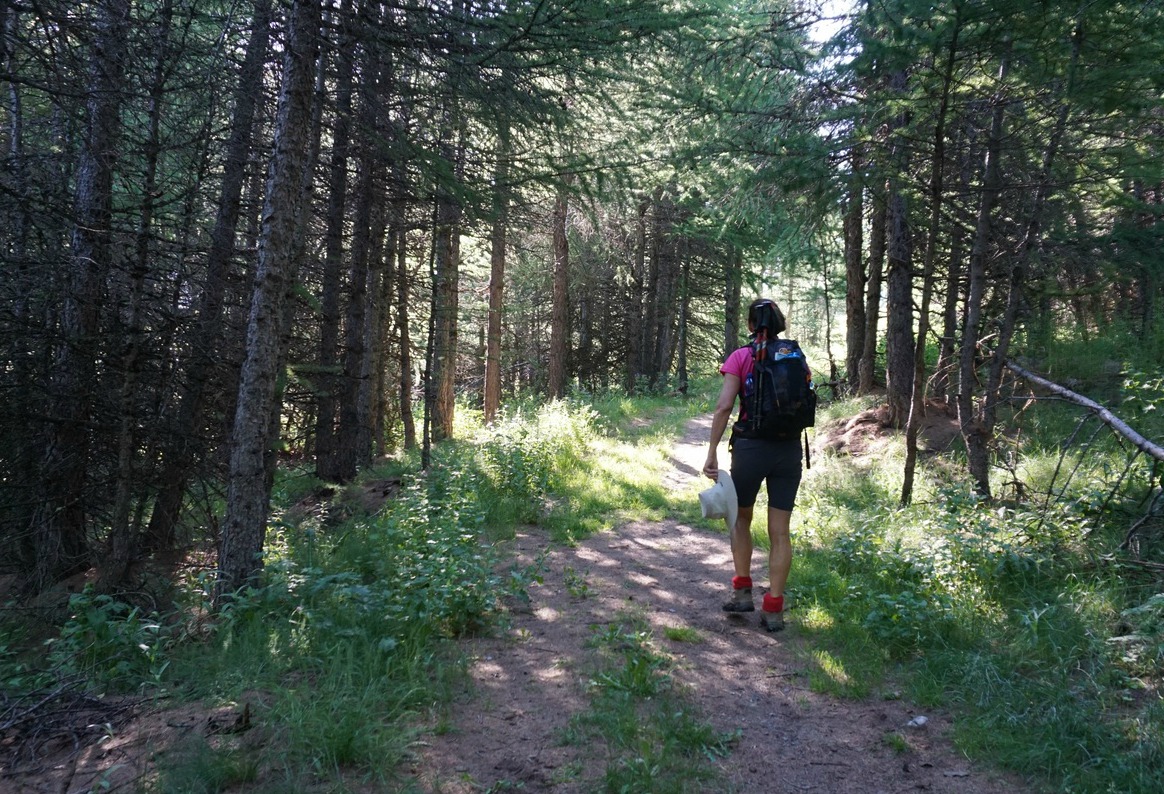
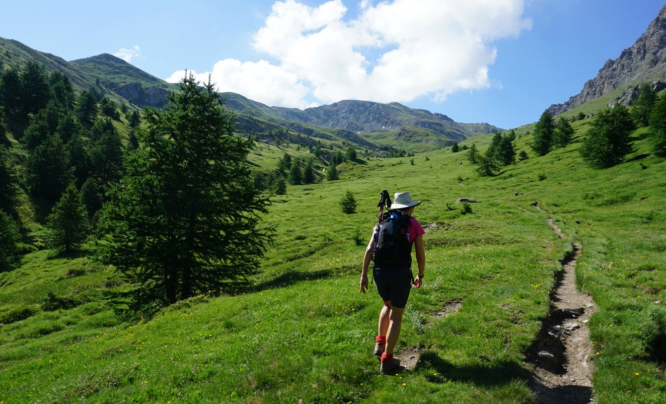

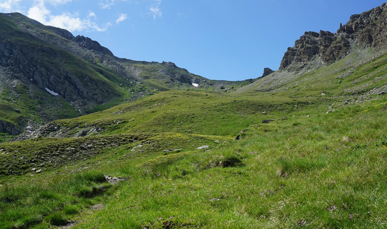


We crossed the bridge and headed southeast. The first part of the trail ran in a larch forest. At about 2300 m elevation, the forest gradually gave space to vast alpine meadows. Our goal, Pic de Château Renard and its ridge were still high above on our right-hand side.
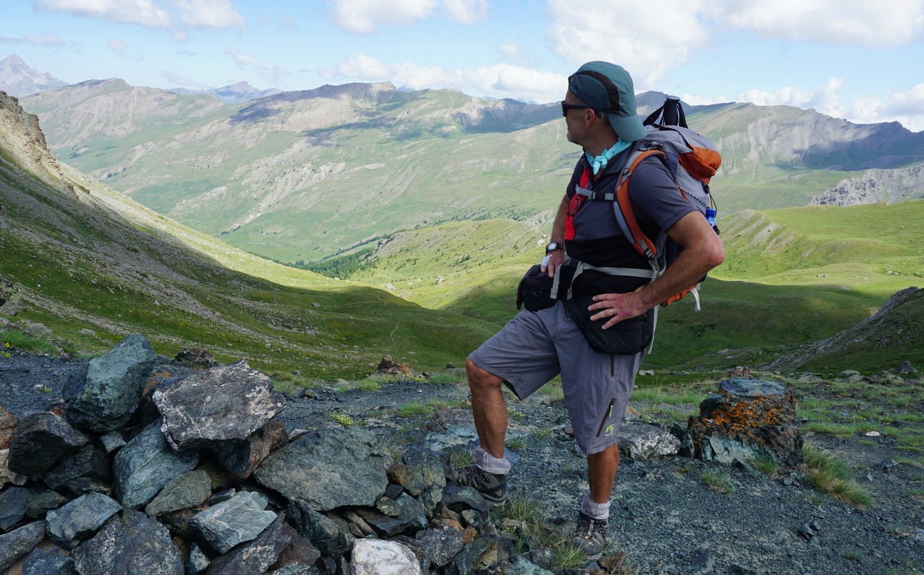
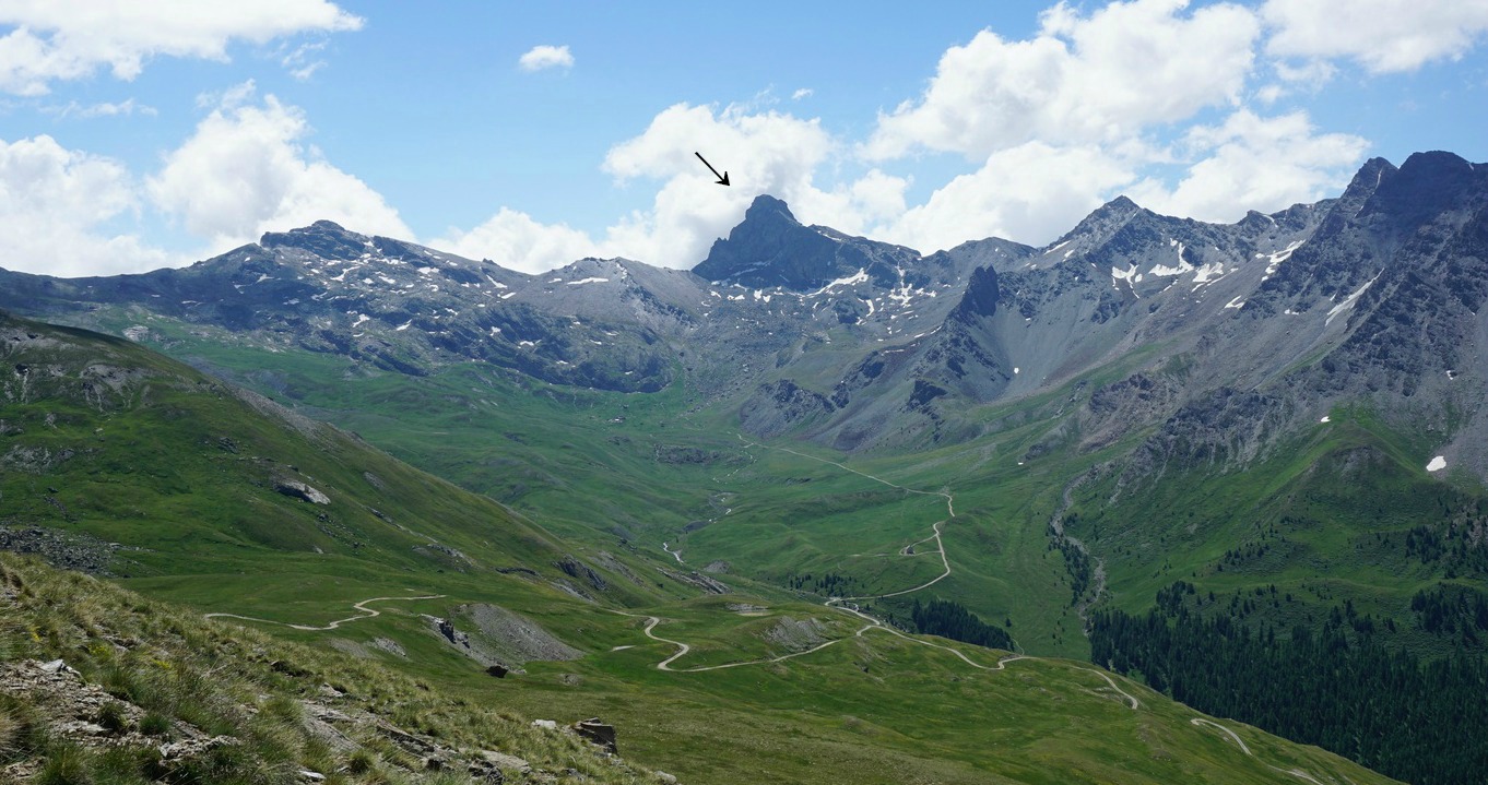
Just before Col de Longet (2701 m), the trail became steeper and rockier. From the Col, we had the vast verdant St-Véran Valley below us. We now descended a bit (60 m or so), heading west, and saw the dirt road zigzagging to the observatory of Pic de Château Renard in front of us.
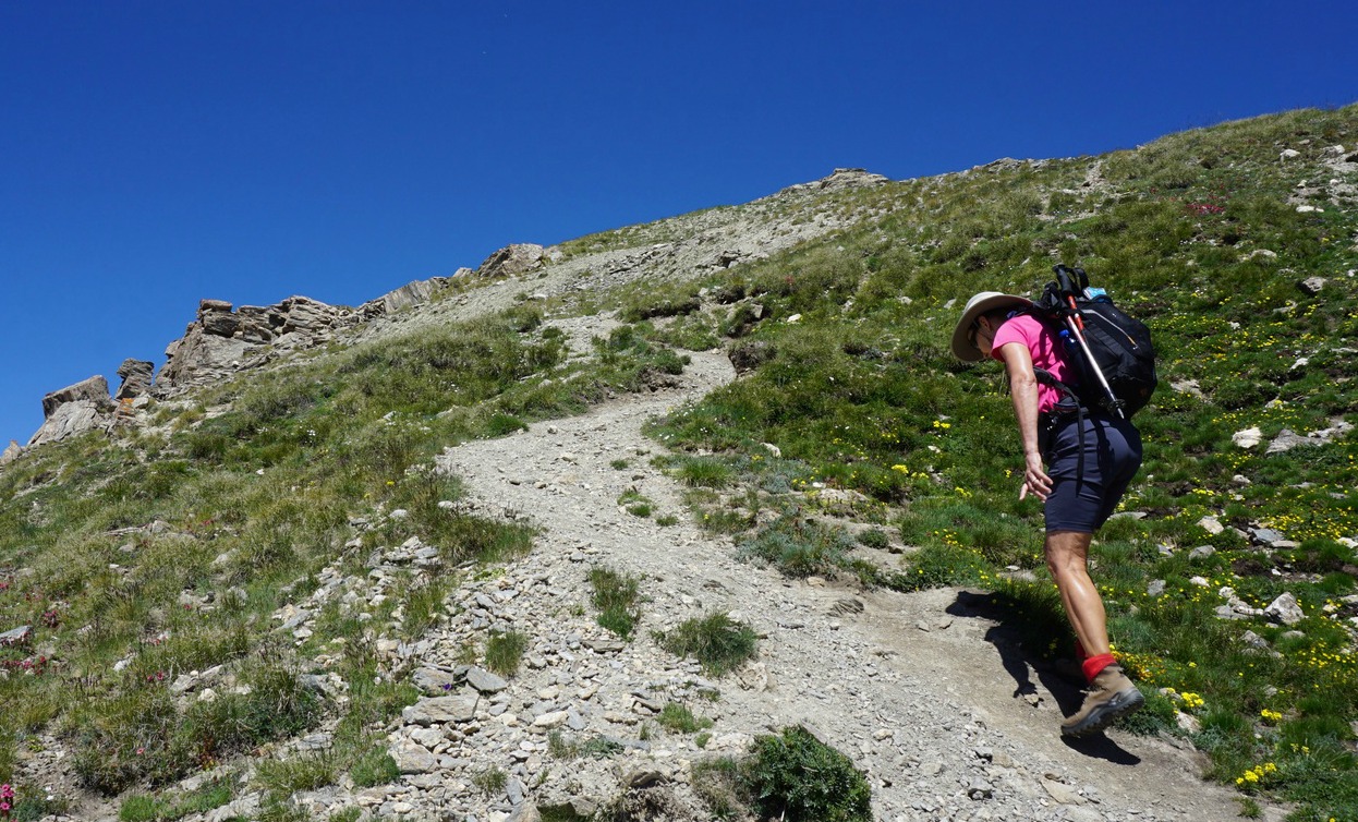
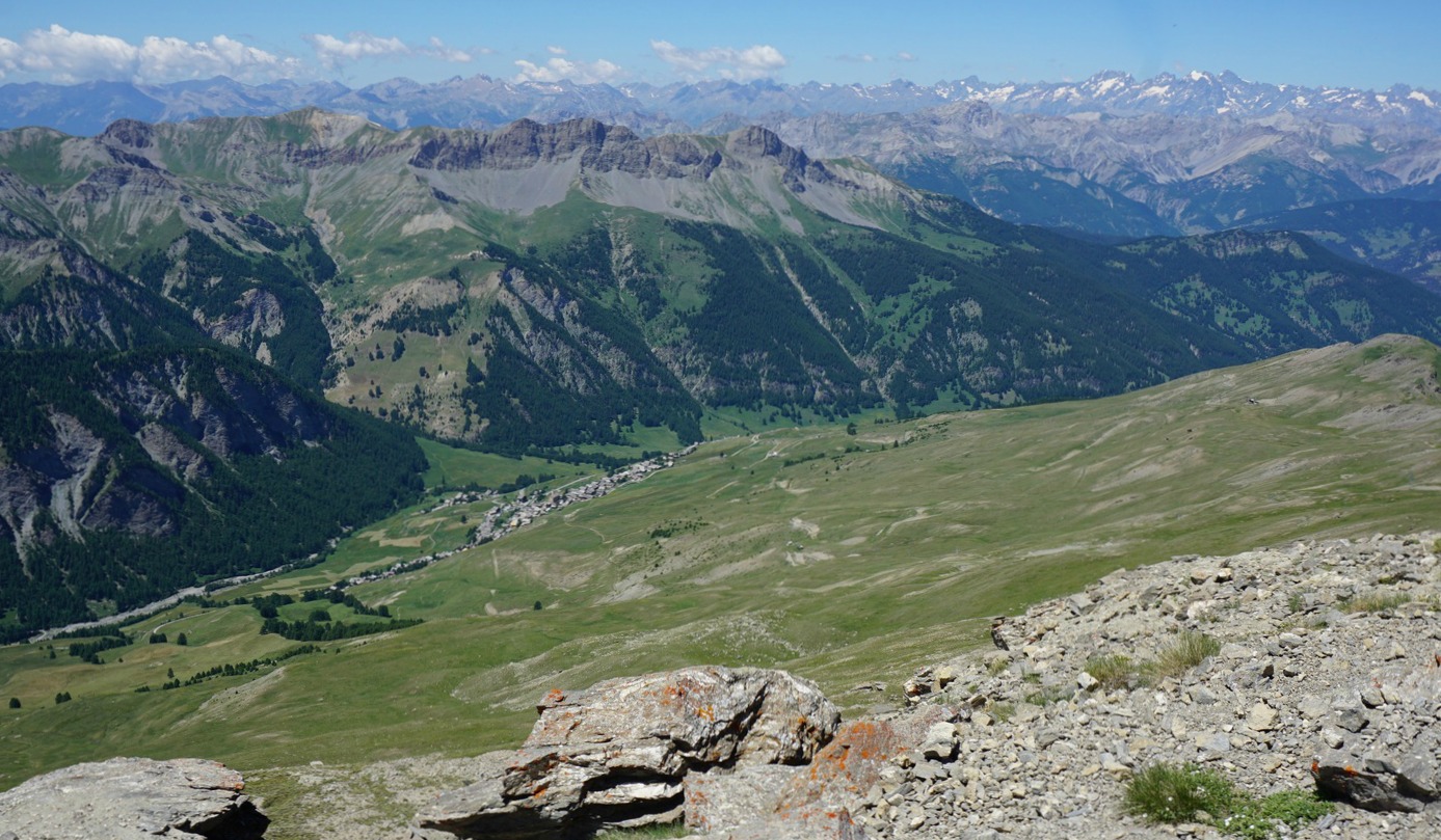
Having reached the dirt track, we ascended along it to the observatory (2931 m). The summit was now visible, and we climbed there along a well visible albeit a bit steep and rocky trail. The day was sunny and warm, and we had gorgeous 360° panorama views of the region. The space at the summit was quite limited, and the north face towards Fontgillarde was a precipice of several 100 m, so we opted for a picnic break a bit lower.
We returned along the same trail via Col de Longet. The itinerary was truly beautiful and very variable from green forest and alpine meadows to a rocky high summit.
Distance: 17 km
Duration: 5h 50 (active)
Climb: 1020 m
Map: IGN 3637 Mont Viso

Share story


0 comments:
Note: only a member of this blog may post a comment.