

From La Turbie to Tête de Chien

We have previously hiked from Cap d’Ail (80 m) to Tête de Chien (550 m). This classic loop trail called Tour de la Tête de Chien takes about 3h 15.
This time we made a much shorter walk from La Turbie (470 m) to Tête de Chien, which nevertheless offers just as dramatic views over Monaco, the Italian coast in the east and Cap Ferrat in the west.

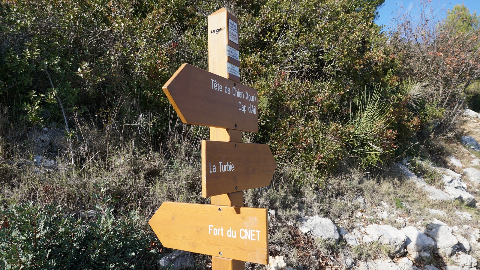


It was a chilly and clear winter morning on Côte d’Azur. We parked near the entrance of Trophée d’Auguste museum, and walked through the old village of La Turbie. At the western end of the village we walked through a park, where there were signposts showing the way to Monaco, Cap d’Ail and Fort du CNET. CNET, a telecom research centre, is located in a fortress on the summit of Tête de Chien.
We followed the wide trail that descended along the eastern flank of the mountain, and soon came to the first crossroads where the trail forking left would have taken us down to Monaco. We, however, continued straight about 200-300 m and reached the next crossroads where a new signpost showed the trail up to our goal today. This part of the trail we knew well as we had descended along it during the previous hike. Elevation gain from this point to the fortress(CNET) was about 120 m. We came to a paved road next to the CNET facilities, walked along it 150 m before forking left along a trail that took us to the road to Tête de Chien.
After admiring the views down to Monaco and the coast, we used the same trail back to La Turbie. It was a great and effortless itinerary with a very moderate elevation gain.
Climb: 300 m
Distance: 6,7 km
Duration: 2 h
Map: IGN 3742 OT Nice Menton Côte d'Azur
Share story


0 comments:
Note: only a member of this blog may post a comment.