

The ridge above Séranon

The 6085 road north from Grasse is called the Route Napoléon. It was built in the 1930s to commemorate the Emperor’s journey in March 1815 after his escape from Elba. St-Vallier-de-Thiey (720 m) is the first small town after Grasse. It makes a nice stop before driving further. The RD 6085 road continues to the rather touristic Castellane and beyond, but we left it after about 30 km and turned right to the Provençal village of Séranon (1100 m).
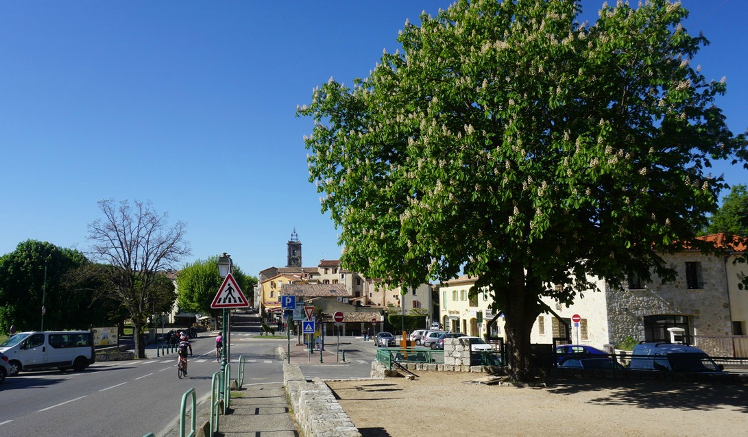
Séranon is one of the villages in Moyen Pays where you can start your hike at over 1000 m altitude. We found a big parking at the village entrance, just after the roundabout. We then walked about 300 m to the village centre. Today’s hike is called Crête du Bauroux in the Randoxygene booklet. The highest point (1644 m) on this trail is the summit of Bauroux in the easternmost part of the over 3 km long ridge overlooking Séranon.


We found the signpost #192 next to the mairie. The first part of the trail was also GR510 heading west and climbing gently. At signpost #214 we forked right. The trail ascended more steeply directly to signpost #194 and the ruins of the Vieux Séranon (1320 m). After descending about 30 meters at the crossroads of several trails, we took the one heading east in the forest. We walked on the northern side of the ridge on a good path, and had views only to the north. The trail made several short ascents and descents. Only when we approached the summit, we left the forest below us and could enjoy the panorama.
From the summit, we descended steeply in a north-easterly direction. The trail was good all the way but at this stage it was good to have the poles. We came to Col Bas and signpost #182, then #181. We crossed the D80 and 79 roads and followed the trail that ran beside a field to the village of Caille (signpost #180). From the village, we walked along the D79 road about 400 m, then turned right at signpost #197, and followed a wide trail that led back to Séranon.
Duration: about 4 h 30
Climb: about 600 m
Map: IGN 3542 ET Haut Estéron
Share story


0 comments:
Note: only a member of this blog may post a comment.