Loop trail above Sigale
The tiny village of Sigale (630 m) is situated in the heart of the Estéron Valley about 1h 15 min drive from Nice. Sigale has its special charms, notably the clock tower which proudly dominates the valley. From the clock tower you have a nice view towards Cime de la Cacia (1105 m), and the Rivers Estéron and Riolan. But it is the summit of Cime de la Cacia and its super 360° panorama which today is our goal. It is the highest point of the loop called Circuit de la Cacia in the randoxygène guide.
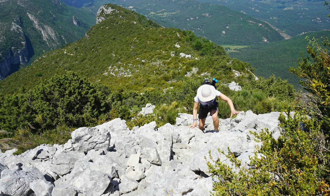
From the parking at the entrance of the village we started ascending from signpost #121. The wide trail that is also GR510 in the beginning goes to signpost #122. Here, our trail forked right (now yellow marks), leaving the GR510, and we ascended rather steeply to collet de la Cacia and signpost #136. From this point, we made a detour climbing straight east along the ridge to the summit of Cime de la Cacia, and reached the mountaintop after about 15 min.
We descended back to signpost #136 and continued the hike by descending to signpost #135 on the northern side of the mountain. We soon dove into a beautiful forest (Bois de la Cacia). Once again, we could see the change in the landscape when coming to the northern side of the mountain ridge in the Estéron Valley.
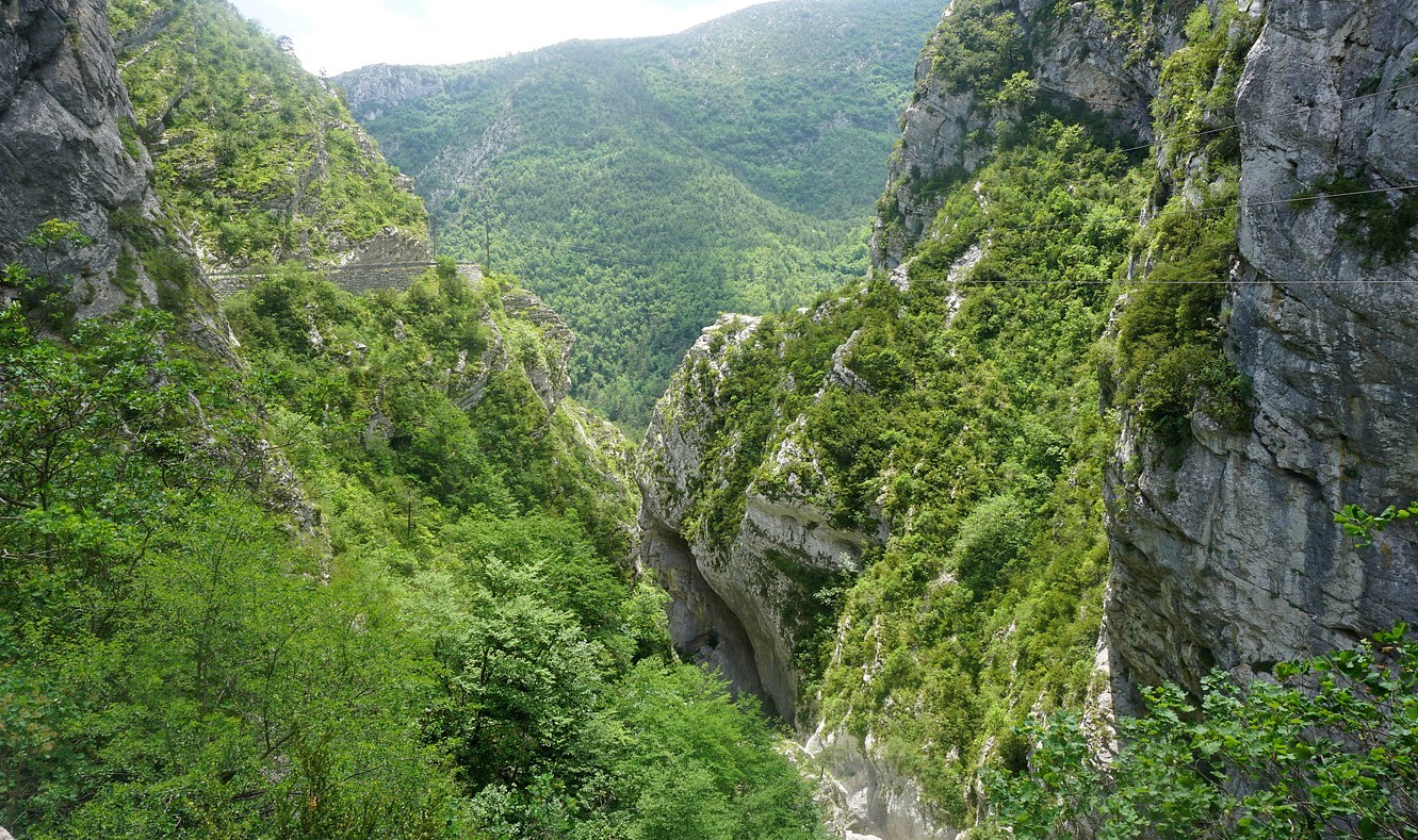
After a break at signpost 135 we continued straight west. Our trail first ran almost horizontally in the woods. Another trail descended to the north down to the Valley of Pali. This was not our itinerary, be aware! Eventually, we came to signpost #140 by the RD17 road above the gorge of the Riolan River(a tributary of the Estéron River). We walked along the road about one km admiring the spectacular views, and minding the traffic which was light. From the RD17 road, we forked right at signpost 139 and descended to the GR510 trail and walked along it back to the village.
Duration: 4h30
Vertical climb: 650 m
Map: IGN 3642 ET Vallée de l’Estéron Vallée du Loup


0 comments:
Note: only a member of this blog may post a comment.