

January hike above Saint-Jeannet

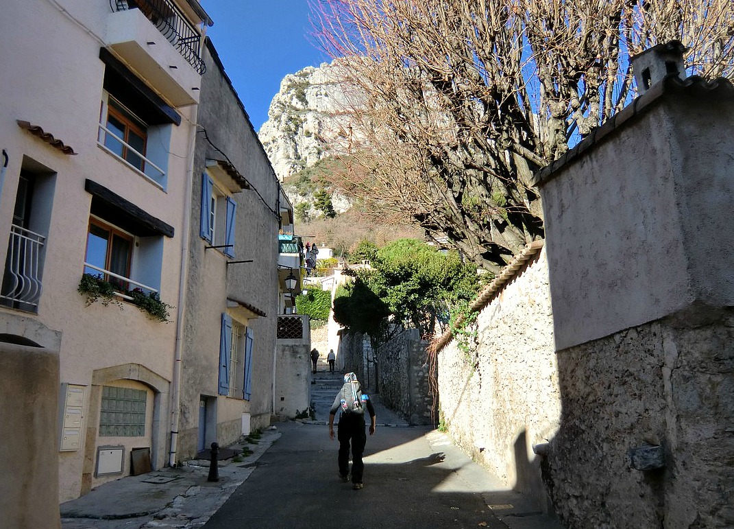
The village of Saint-Jeannet (420 m elev., 20 km from Nice) is a very popular starting point for hikes. Most people climb up to the Baou, and perhaps make a loop via the ruins of Castellet.
This time we made a different walk, forking from Grande Randonnée 51 (GR51) to explore the path along the eastern flank Mount Riorun (879 m). A site of ancient habitation and farming, the trail is today mostly used by sheep, shepherds and locals.
From the centre of St-Jeannet we ascended along the GR51 trail as far as to signpost #6. Just after the signpost, there’s a large cairn, heap of stones, and a clearly visible path heading north (picture above). The trail has been restored by the association “Sentiers et villages des baous”. They have also restored some of the ancient structures along the trail.
We stopped at a small cabane near the path. The small shelters built of stones were used in ancient farming during the summer season.
After about one hour from Saint-Jeannet we found ourselves in the calm nature so different from the busy coast. We even spotted a few deer that rapidly disappeared behind Riorun. We met two shepherds, and eventually heard the sheep somewhere ahead of us. The timing for a picnic in the surprisingly warm January sunshine was perfect.


We then continued a bit along the easy trail. After having passed a large oak tree, we came to a well-preserved threshing floor. After this, we spotted the flock of sheep and goats on the trail right in front of us. The shepherd was steering them slowly to north. We stopped for a while to let them pass to one of the sheep farms on the foot of Mouton D’Anou Mountain (1078 m). At the crossroads we turned sharply right (south) and started descending back towards the starting point along a good trail that eventually joined the GR51.
Total hiking time: 2h 30
Total ascent: 400 m
Map: IGN 3642 ET
The part of the trail forking from GR51 is not marked in the IGN Map. However, check this site (in French),click sentiers and you find a network of trails. GR 51 is the red one, signpost #6 is b6, and above this you can see the actual trail described here. You can even click red spots on the map and view images from around the trail. The turning point is roughly at Jas de Barrière, now in ruins.
The alternative itinerary would be to ascend first to the summit of Baou de Saint-Jeannet, then take the trail from there straight north to signpost #6, and continue as described above.
More information in the book (in French): Le Rando Malin by Roger Berio (Éditions Mémoires Millénaires)
Share story


0 comments:
Note: only a member of this blog may post a comment.