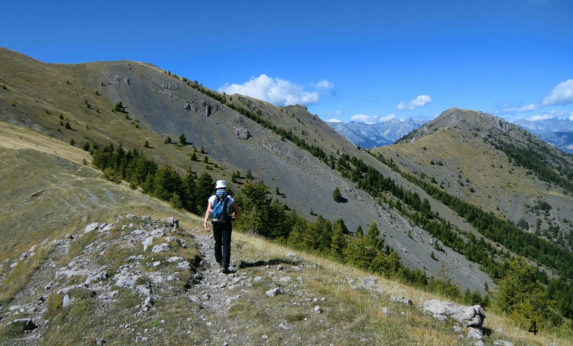
Dôme de Barrot above Valberg

This hike in Moyen Pays near Valberg ski resort is truly off the beaten track. We did it on a Friday (a non-hunting day -to be on the safe side!) in mid-September and did not meet any other hikers. The scenery is magnificent. The peculiar red rock also seen in the nearby Gorges of Daluis and Cians dominates the landscape. The season is from May onwards. In early May, some snow can still be present at this altitude.
Dôme de Barrot (2136 m) is roughly half way between Valberg and Puget-Theniers in the south. There are at least two itinerary options. The one from the south (Auvare, 1082 m) is said to be more sauvage and authentic. We, however, chose the route starting near Valberg because of somewhat shorter duration and lesser vertical gain. In this option, the first part of the hike ascends along some of Valberg’s ski runs.
From the parking next to the ski lift des Equilles at Les Launes (at 1498 m alt.); start the hike along the unpaved service road left of the chair lift. It ascends quite steeply to Col des Anguillers (1856 m) and to signpost #24. From there, continue to signpost # 25 (1901 m). The road now descends 80 m to signpost #124 at Col de Raton (1821 m).
From this crossroads, several trails continue along the alpine meadow. We recommend climbing to Pra Brûlé (1986 m), where the ski lift carrying the same name ends (picture 3; red arrow). This makes a shortcut compared with the trail (picture 3; blue arrow) that circles along the eastern flank of the mountain. There’s a service road in the slope that can be used for walking. From the top, you have a great view of Dôme de Barrot. The narrow trail from here (marked with an interrupted black line in the IGN map) continues along the southeastern flank of Cime du Pra, and then descends slightly to signpost #130 from where the final part of the trail to the summit starts. Navigation is easy at this point as the masts on the mountaintop are visible.
We returned along the same trail.
Elevation gain: 850 m
Duration: 6h 30
Map: IGN No 3641 OT “Moyen Var”
The distance from Nice is 81 km. Take RD6202 that follows the Var Valley; At Touët-Sur-Var turn right to RD28. At Beuil, continue towards Valberg, and after 2.6 km turn sharply left to Route des Equilles. The parking is reached after about 700 m.


0 comments:
Note: only a member of this blog may post a comment.