Majorca topping for fish fillets


Majorca topping for fish fillets


The following topping for fish is loosely based on a lunch we recently had in Majorca, the Balearic Islands. This topping will jazz up any limp and a bit tasteless white fish such as blue ling or haddock.

In the photo, the blue ling fillets are served with roasted yellow squash, black rice, and chopped basil.

2 servings

4 tbsp. crushed almonds or grilled hazelnut powder

1 clove garlic, pressed 

1 tsp. dried Provençal herbs

Freshly ground black pepper

8 tinned anchovy fillets

2 tbsp. olive oil


Soak the anchovy fillets in water for about 10 minutes to remove some of the salt. Remove from water and crush into a paste in a bowl. Add all the other ingredients and mix into a nice paste.


Preheat the oven to 200° C roast.


Place the fish fillets in an oven-proof dish coated with some olive oil. Divide the topping on the fillets and roast for 10 minutes. 


Exploring Crête de Serre Chevalier


Crete de Serre Chevalier


We decided to explore the trails west of Serre Chevalier (2491 m), and based on last years’ experience we took advantage of the Casse du Boeuf chairlift from Villeneuve (1400 m) as we planned to do a shorter hike at a higher altitude.

The high starting point offers numerous itineraries. We had previously hiked to Serre Chevalier summit then down to the valley.

Casse du Boeuf chairlift
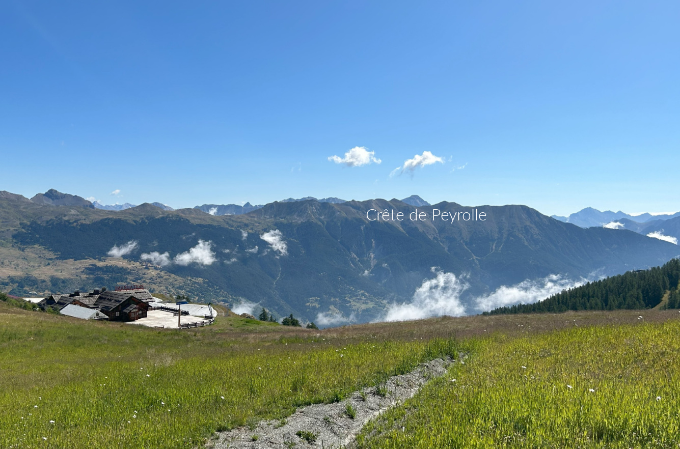
Crete de Peyrolle
Crete de Peyrolle
Serre Chevalier western flank
Scenery west of Serre Chevalier

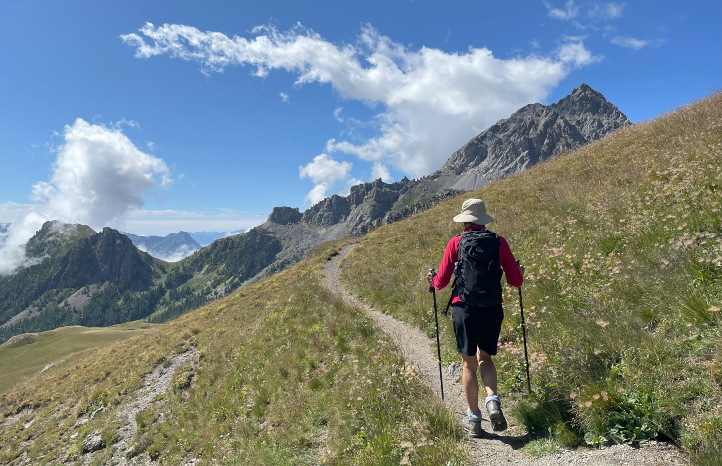
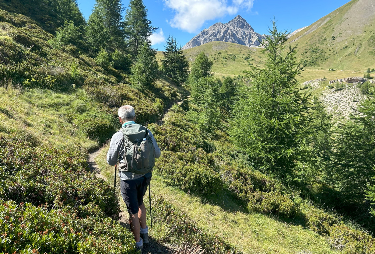
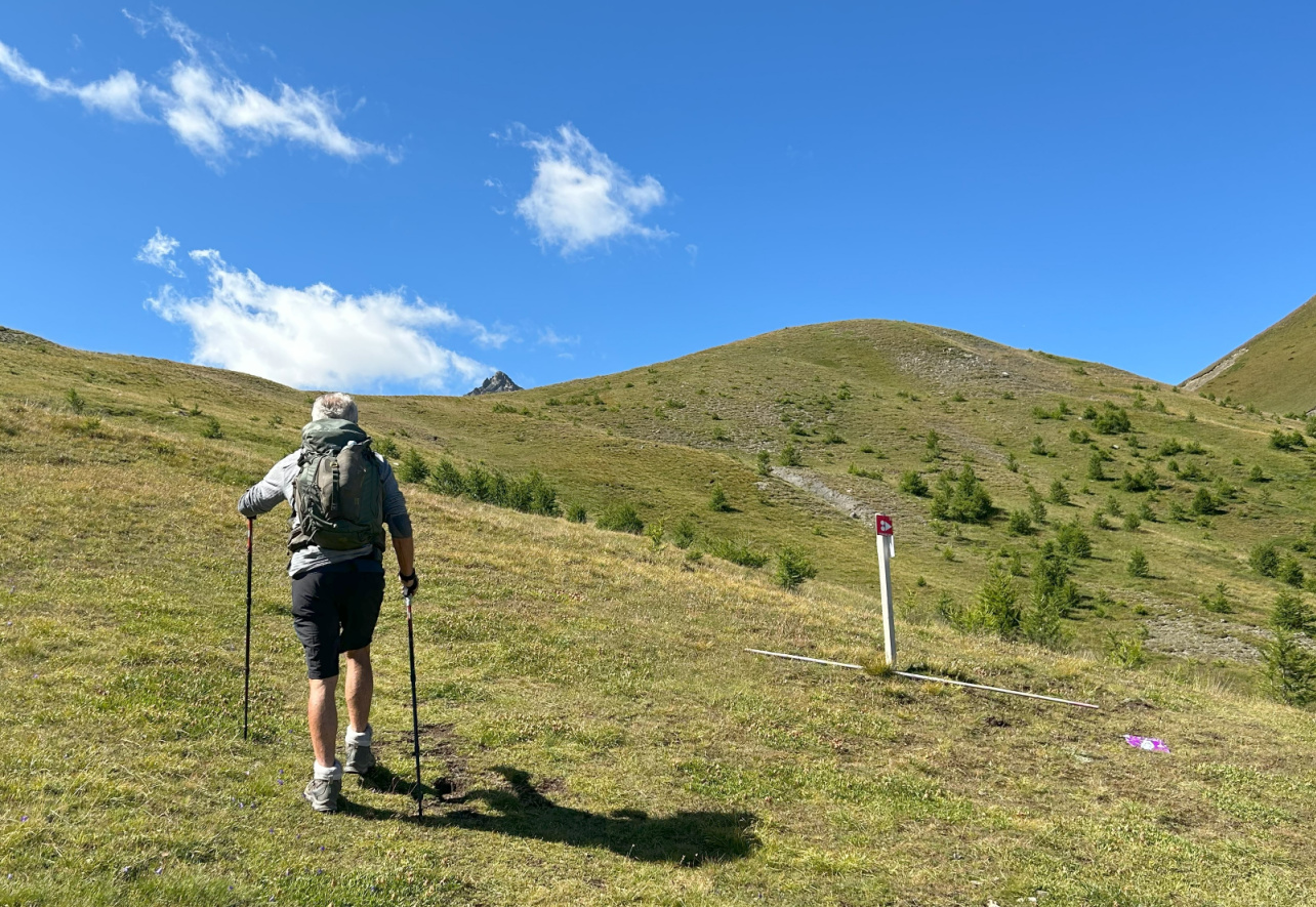
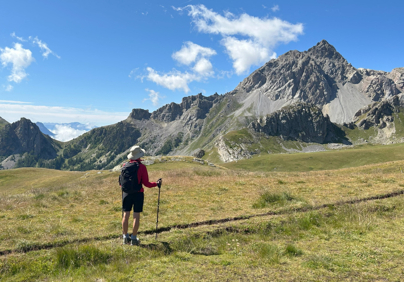
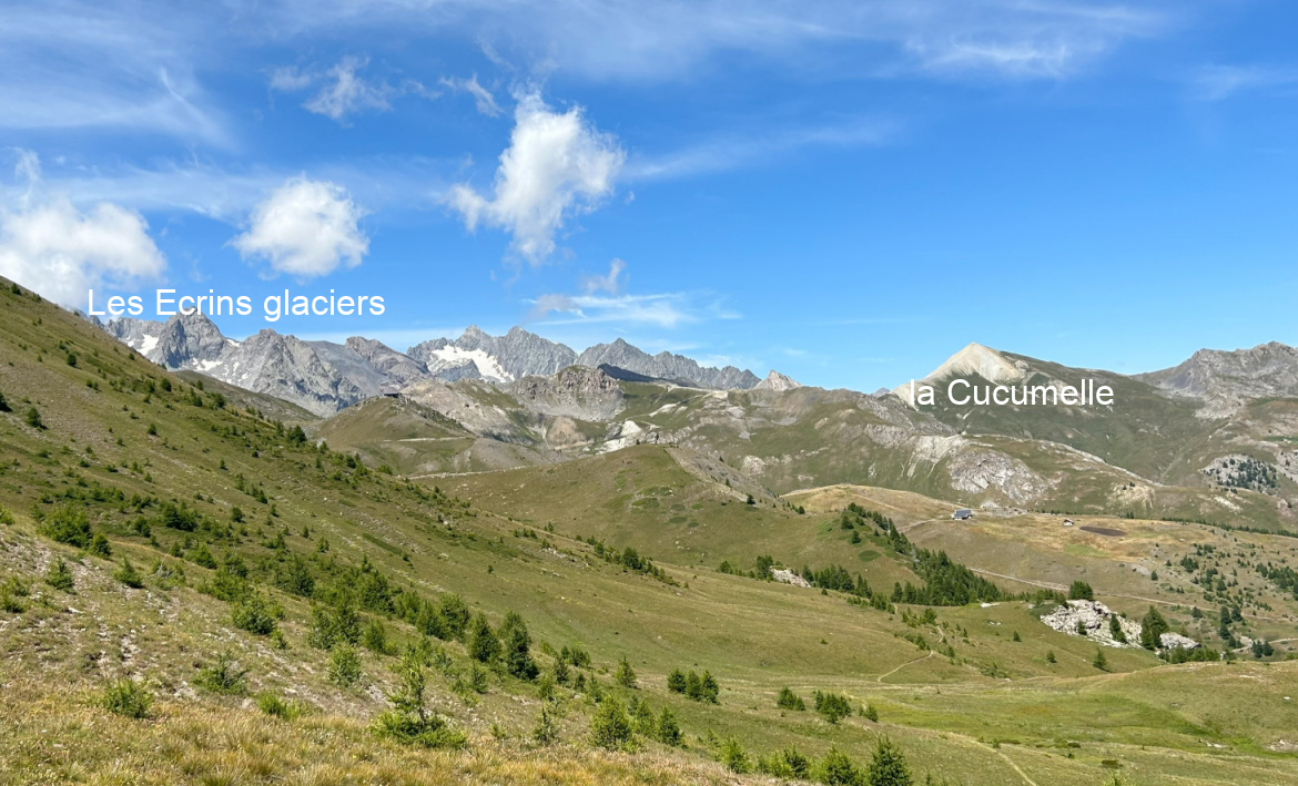
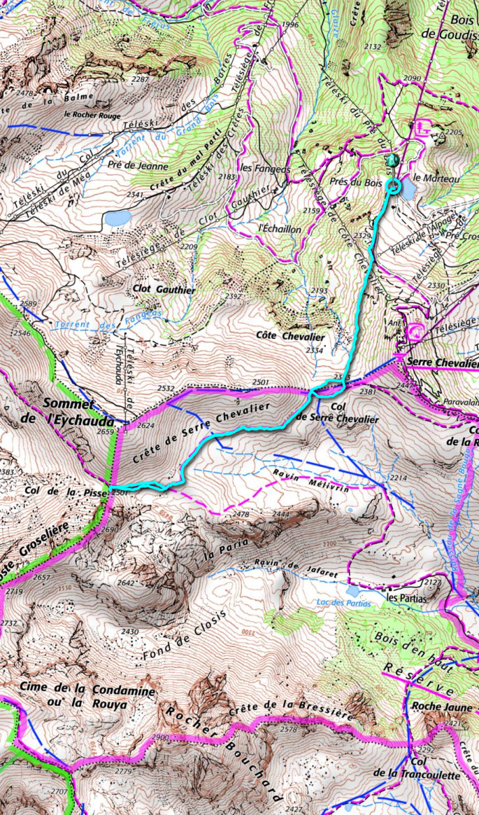
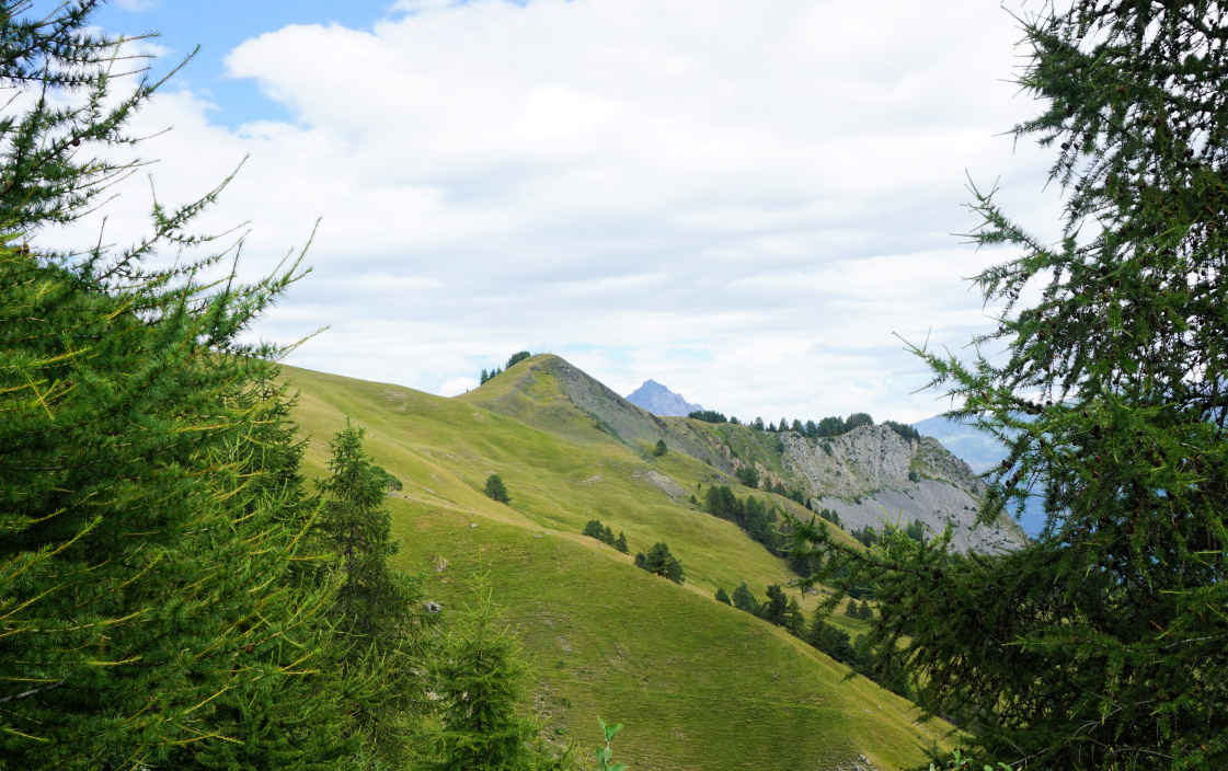
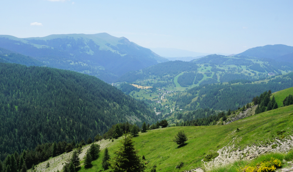
From the chairlift (2270 m), we climbed up to a crossroads at the foot of the northern flank of Serre Chevalier where took a good trail which ran along the western flank to Col de Serre Chevalier (2381 m). Forking right (west), we continued along the southern flank of Crête de Serre Chevalier with great views to the south/southwest as well as to the east, over the Durance River Valley. This area was outside of the ski runs and lifts and therefore very attractive. We climbed a bit further to Col de la Pisse (2501 m) where  some of the Ecrins glaciers could be admired in the northwest.


We used the same trail back to the starting point.


Nearing Col de Serre Chevalier
View south Col de Serre Chevalier
View northwest Col de Serre Chevalier
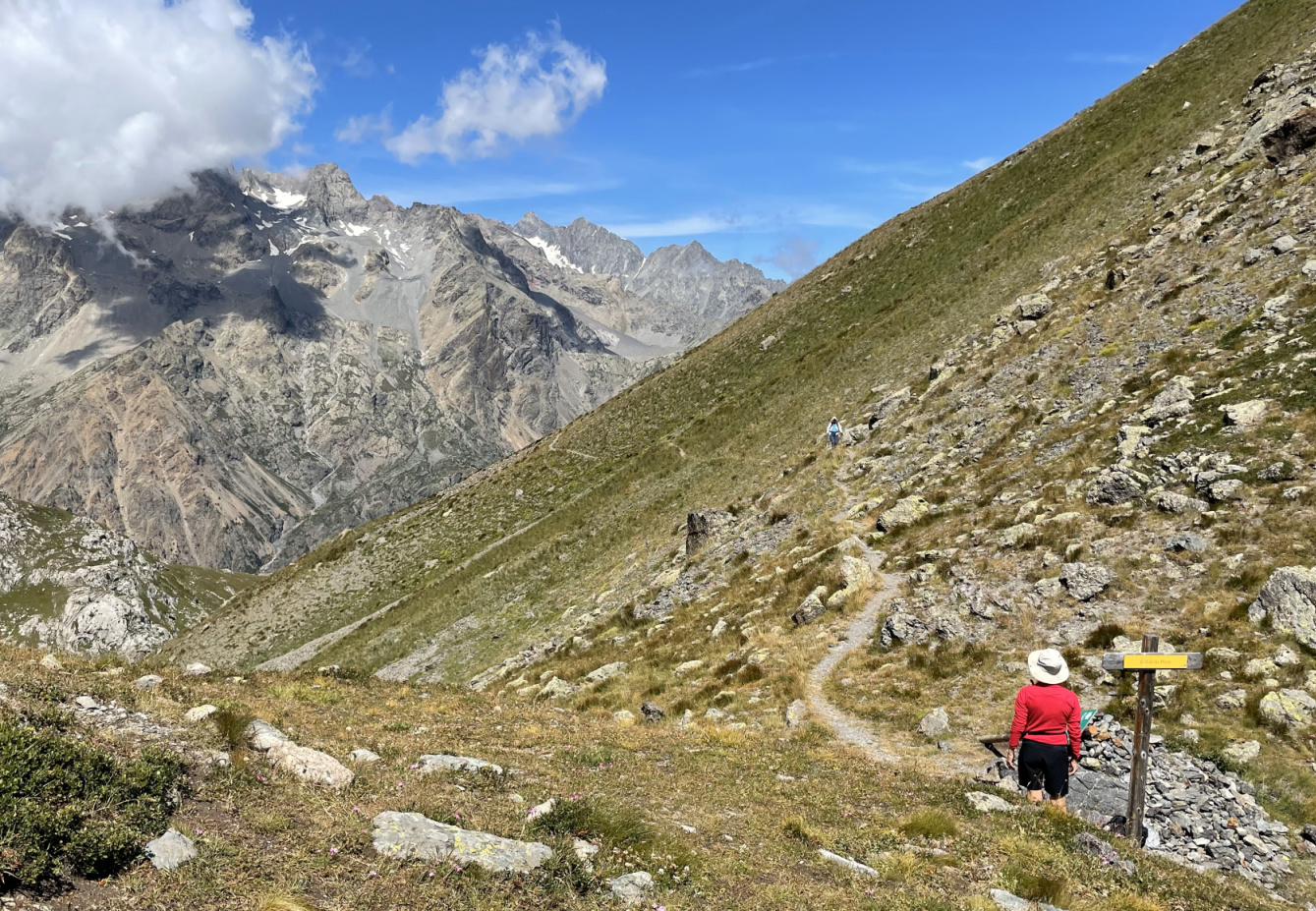
Near Col de la Pisse
Col de la Pisse 2501m

Climb: 300 m
Distance: 6,2 km
Duration: 2h 30
Map: 3536 OT Briançon Serre-Chevalier Montgenèvre

Crete de Serre Chevalier track


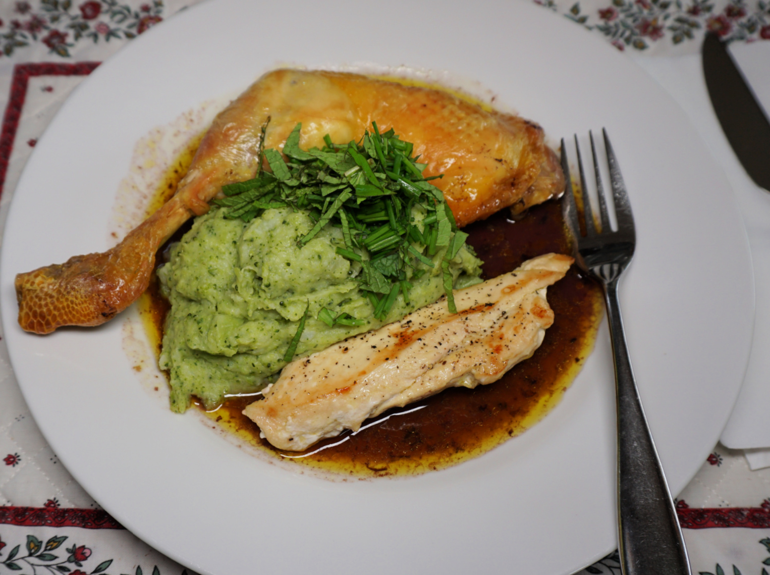
Chicken, green purée, and red wine sauce


Chicken green purée red wine sauce


The following chicken recipe is perfect in autumn when the days get darker and cooler and we crave warmer dishes. But it is just as suitable on a miserable and rainy spring day.

Roasting the chicken legs in oven with red wine and chicken stock gives tender and tasty chicken as well as a nice reduced red wine sauce. A light Bourgogne red or Chianti would go well with this recipe.

2 servings

2 free-range chicken legs

1 free-range chicken breast

2 medium potatoes

½ head of broccoli

Olive oil

150 ml red wine

150 ml chicken stock

1 shallot, chopped

1 clove garlic, minced

A pinch of salt

Fresh herbs to decorate


Preheat the oven to 200° C roast.


Place the chicken legs in an ovenproof dish. Spread 2 tbsp. olive oil on the legs. Pour the red wine and chicken stock in the dish and roast for 45 minutes.


Meanwhile cook the chicken breast in a small frying pan and make the green purée.


Warm 1 tbsp. olive oil in a small non-stick frying pan over medium heat. Cut the chicken breast in halves lengthwise. Cook in the frying pan for 20 minutes turning once. Cover and set aside.


Peel the potatoes and cut them into pieces. Place in slightly larger saucepan and add water to cover the potatoes. Add the shallot and garlic and cook for about 15 minutes until the potatoes are soft. Drain, cover and set aside.


Cut ½ broccoli head into smaller pieces. Place in a saucepan with some water and a pinch of salt. Cover and cook for 5 minutes until soft. Transfer the broccoli into the potato saucepan reserving some of the cooking water. Add 1 tbsp. olive oil and a little cooking water and mix into a purée with a handheld mixer. If needed, add more water into a nice consistence.


For the presentation: Divide the reduced wine sauce from the ovenproof dish on the plates. Place the chicken legs and breast halves on the sauce. Arrange the green purée in the middle of the chicken pieces and decorate with chopped herbs. 


Valloire: Pain de Sucre


Le Pain de Sucre in sight

Less famous than the sugarloaf mountain in Rio, or even the 3208 m high Pain de Sucre above Col Agnel at the Italian border, the 1981 m high Pain de Sucre above Valloire (1400 m) is nevertheless popular among hikers. It can be easily reached from the village centre.

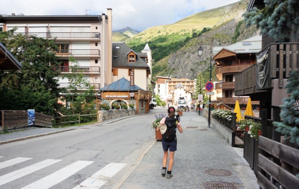
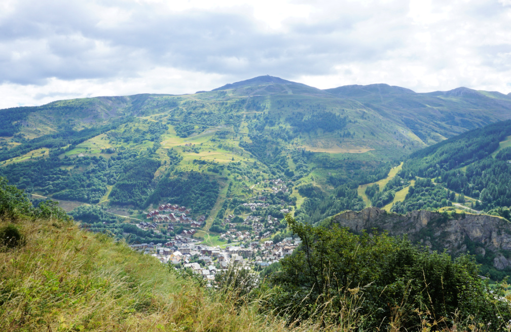
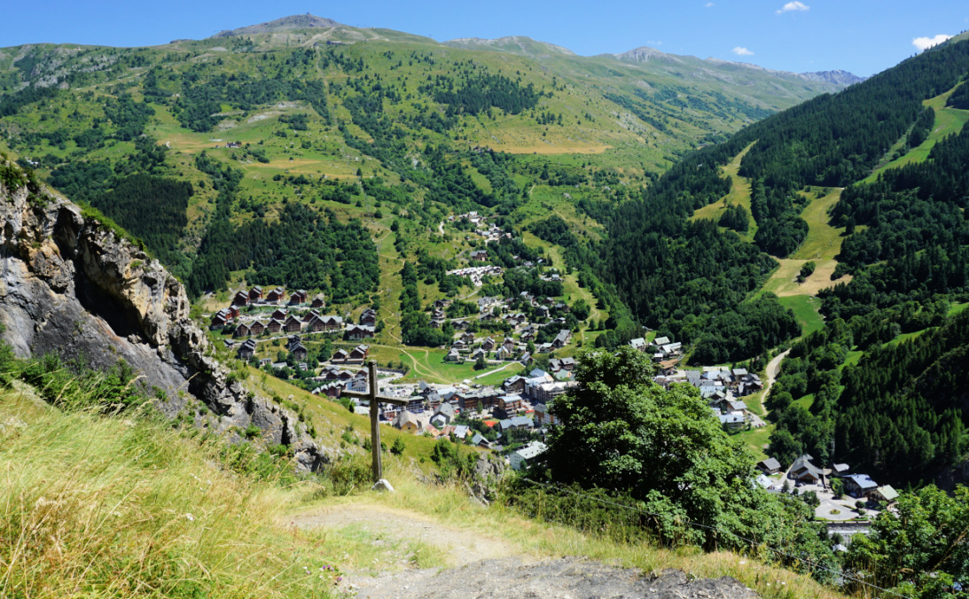
The ski resort of Valloire (Savoie), situated north of the Galibier mountain pass, was quite busy in the peak summer period.


Valloire Village
Valloire Village
La Borgé
La Borgé
Departing La Borgé
Departing La Borgé
Trail to Poingt Ravier
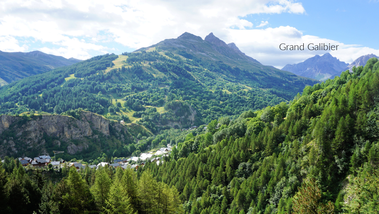
La Mitre and Grand Galibier

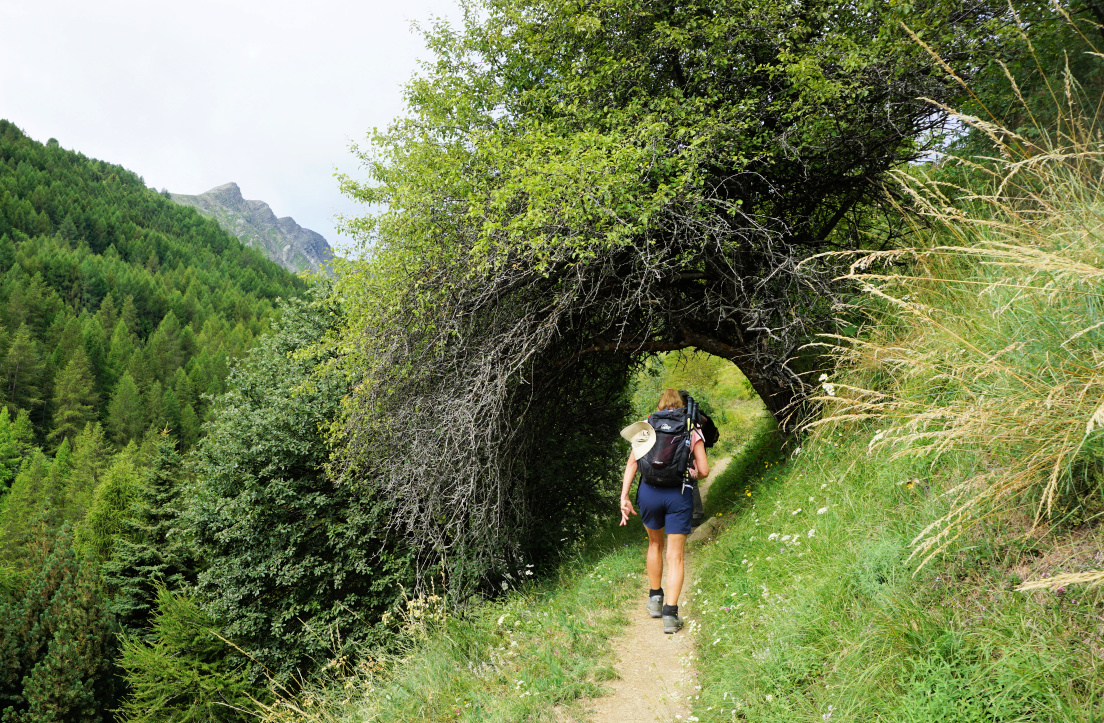
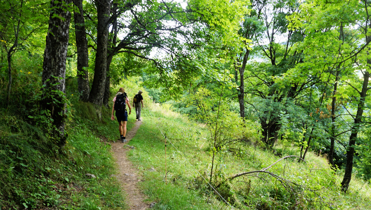
We crossed the Valloirette River to la Borgé next to the D902 road where signposts were erected. None of them showed the route to Pain de Sucre but we knew that we had to reach the hamlet of le Poingt Ravier (1646 m) first. There were two options: To climb straight along a zigzagging path (black line on the map) or to take a slightly longer trail which first followed Gorges de l’Enfer to the west. For the ascent, we chose the latter. It turned out to be a beautiful itinerary in the larch woods with views down to the gorge. We followed the trail to 1662 m and a crossroads where we forked right (northeast) to Poingt Ravier. The earlier trail, a bit lower to the hamlet was closed.


Tree tunnel on trail to Poingt Ravier
Almost at Poingt Ravier
Le Poingt Ravier
Le Poingt Ravier
Slopes east of Valloire
Trail north of Poingt Ravier

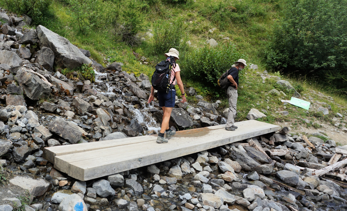
At Poingt Ravier, our goal was well indicated on the signposts. We headed north, climbing along the bare eastern mountain flank, then briefly walked through a larch wood, crossed a stream named Villard. We hiked past le Clot Albanet with pasture areas and a shepherd shelter.

We had the sugarloaf in sight. Heading northeast, we soon reached its southwestern steeper grassy flank and climbed to the summit, already occupied by several hikers. There was an orientation table. We had great views down to the Valloirette Valley, peaks in the east and even a glimpse of the Vanoise Glaciers in the northeast.


Crossing Villard stream
View northeast from Pain de Sucre
Valloire seen from trail
Return trail to la Borgé

We returned along the same trail to Poingt Ravier, then descended along the direct trail to la Borgé and Valloire Village.


Distance: 11,3 km
Climb: 660 m
Duration: 4h 40 (active)
Map: 3535 OT    

Valloire Pain de Sucre hike track


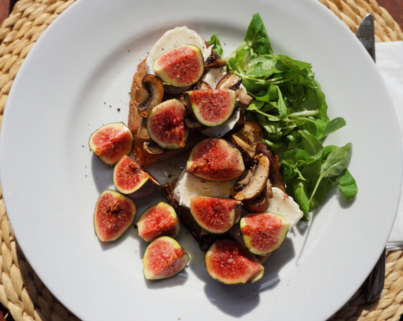
Crostini with mushrooms, goat cheese, and figs


Crostini with mushrooms goat cheese and figs

The following recipe makes a simple but tasty autumnal lunch when local figs are in season in the South of France. The sweet taste of figs compliments nicely with the tartness of goat cheese. 

2 servings

4 slices of country bread

Olive oil

8- 10 mushrooms, champignons de Paris

6 figs

About 100 g goat cheese, la bûche de chevre

Baby salad leaves

Vinaigrette


Preheat the oven to 200° C roast.


Cut 4 nice slices from a country bread and brush them on both sides with olive oil. Roast for about 7 minutes until golden.


Clean the mushrooms and slice them. Sauté in olive oil until nicely coloured.


Cut 8 slices from the goat cheese.


Wash and dry the figs. Cut them into 4 sections.


Divide the crostini on two large plates. Place 2 slices of goat cheese on each bread slice. Divide the mushrooms and figs on the crostini slices placing the extra figs on the plates. Sprinkle with some olive oil. Place a small handful of baby salad leaves on the plates and sprinkle with vinaigrette.


Beuil: Col des Moulinés loop


Col des Moulinés


Several new hiking itineraries have been recently added to the randoxygène web site. We decided to check the loop starting from Beuil (Cougne 1440 m) to Col des Moulinés (1981 m).

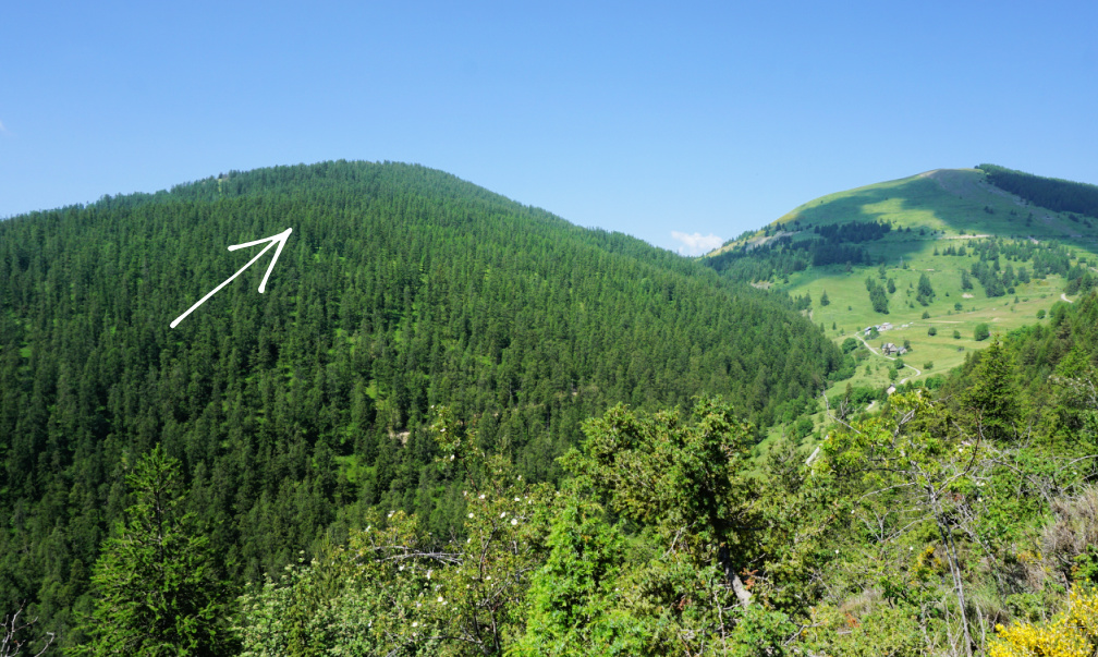
We used the parking by the D30 road just before the bridge over the Cians River. After crossing the road, we saw the signpost #41 next to several old houses (Cougne on the map), and started to ascend along a narrow trail, passing several properties. Apparently, the trail had not been much used and was quite overgrown in places. We reached a partly forested ridge (Crête du pre Picas), now heading northwest. 

Beuil-Cougne
Beuil-Cougne
Above Cougne
Above Cougne
Tête du Garnier
Tête du Garnier
Trail to signpost#43

We came to signpost #43 and an ancient military track. We forked right, and followed it near Cime de Bacoun, which in fact looked more like hill surrounded by higher peaks. From there, our itinerary continued north along the eastern flank of Mont des Moulinés. Col des Moulinés became visible and we passed the crossroads with signpost #45 (our return trail). We climbed to the col which borders the Mercantour National Park and is an important crossroads of many trails. The GR5 trail runs via the mountain pass. In the north, Mont Mounier (2817 m) dominated the scenery. 


Mont des Moulinés southern flank
Beuil seen from Col des Moulinés
Mont Mounier and the Col
Descent to Cians Valley

The return trail followed the beautiful Cians River Valley all the way.  The trail was mostly good and probably more used, too. We had to cross the riverbed a few times. It was dry but warnings had been placed at the crossings.


Climb: 620 m

Distance: 10 km

Duration: 3h 50

Map: 3640 OT “Haut Cians”


Beuil Col des Moulinés track


Boeuf Bourgignon à la Côte-d'Or


Boeuf Bourgignon à la Côte-d'Or


Bœuf Bourgignon is the famous beef stew from the Bourgogne Region. In a recent TV-show on the French morning TV, Télématin, a cheffe from the Côte-d’Or Departement showed her version of the recipe. The meat was separately simmered for 3 hours in Pinot Noir red wine with mushrooms and leeks so that the beef was super tender and the thick sauce almost black in colour. The vegetables were separately sautéed and simmered until soft. Her choice of vegetables was more adventurous; to the usual carrots and onions also courgettes, turnips, and green asparagus were added. I was inspired!

The following recipe is my twist of the TV-show. I simmered the beef for 2 hours on the hob in a heavy cooking pot, cocotte, and then cooked it for 1 hour in the oven. I simmered the vegetables in another cocotte until soft.

2 servings

About 300- 400 g stewing beef

500 ml Pinot Noir red wine

1 leek, sliced

4- 6 mushrooms, chopped

Olive oil

For the vegetables:

1 small onion, halved

1 clove garlic, minced

1 carrot, cut into 3-4 cm long chunks

2 small courgettes, cut into 3-4 cm long chunks

1 turnip, peeled and halved

Olive oil fresh herbs to decorate


In a heavy cooking pot, cocotte, warm 2 tbsp. olive oil over medium heat. Lightly brown the beef. You may need to do this in batches. Set aside. Sauté the mushrooms and leek in the same pot for a few minutes. Transfer the meat back to the pot. Add a pinch of salt, some black pepper and pour in the Pinot Noir. The beef should be covered by the wine. Bring to the boil, then reduce the heat to simmering. Cover and cook for 2 hours.


Preheat the oven to 180° C.


Transfer the cocotte uncovered into the oven and cook for 1 hour.


Meanwhile warm 1 tbsp. olive oil over medium heat in another cocotte. Sauté the vegetables for a few minutes. Add 100 ml water, reduce the heat to simmering and cover. Cook for about 2,5 hours until the vegetables are soft. 


For the presentation:

With a slotted spoon, take up the vegetables from the pot and divide on the plates. Divide the beef in the centre of the plates and pour over the sauce. Decorate the vegetables with some chopped fresh herbs. Bonne Appétit!


Vars: L'Ecuelle Loop


L'Ecuelle mountain pass


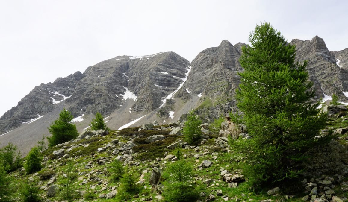
The following relatively short loop above Vars ascends to la Combe Froide under the Eyssina Massif (2837 m). It gives the opportunity to experience a high mountain atmosphere near the village and outside of the ski lift system.

Starting point of L'Ecuelle hike
Larch forest after start
Vars Les Claux
Vars Les Claux
Ascending trail to Combe Froide

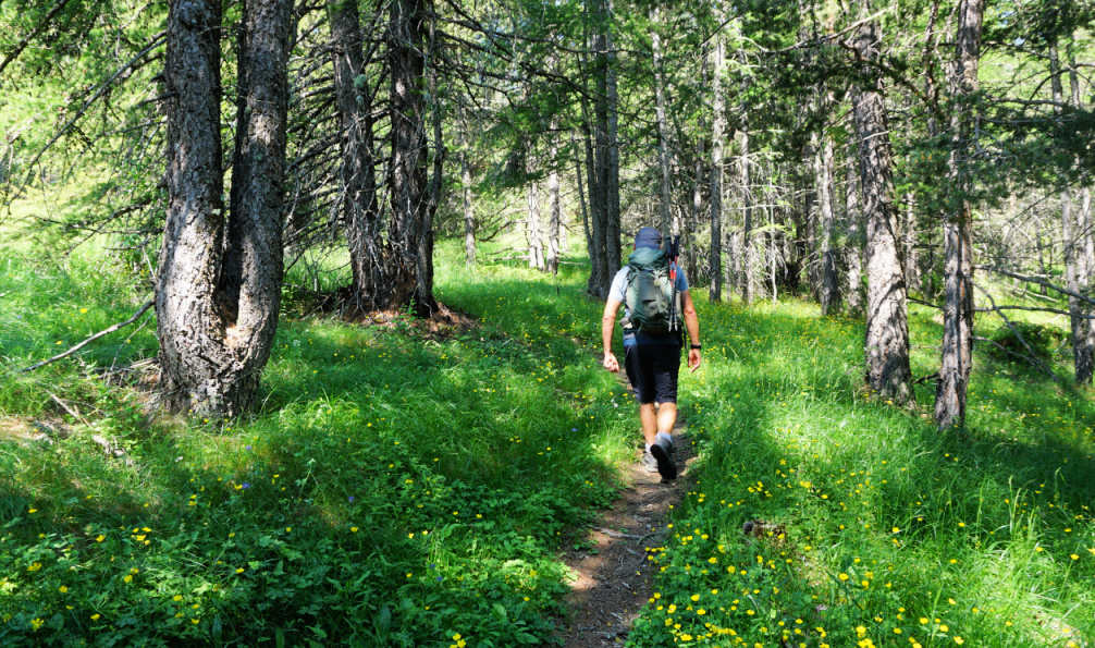
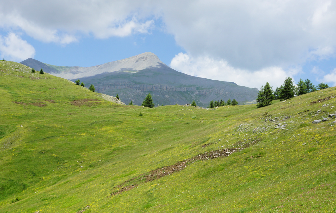
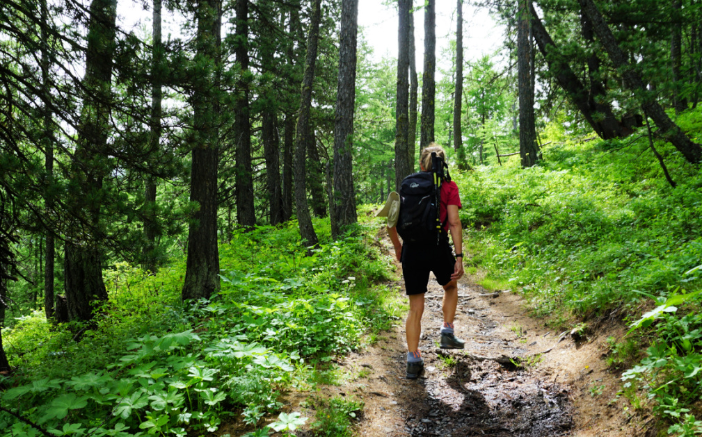
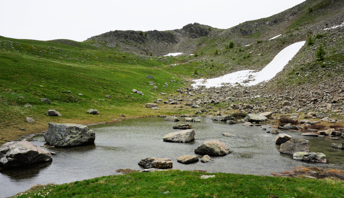
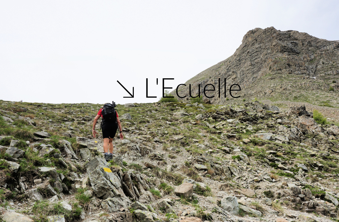
We started from the upper parking at Vars les Claux (1920 m) and climbed along the upper trail in a larch forest towards Col de Vars. At about 2100 m elev. we reached a large meadow where we forked right, climbed to a signpost showing “Les Myrtilles” to the left. We, however, forked again right and dove back into the larch woods. The trail circled a small unnamed peak 180° almost horizontally and came to a crossroads (Trail from les Escondus) where we forked left, crossed a stream and climbed to Combe Froide. There were patches of snow here and there. Marmots, spring flowers and complete tranquillity! The final push to L’Ecuelle Col (2420 m) was fairly steep. The col was the highest point of this hike. It was a warm but very windy day, and we descended a bit for our picnic. In the beginning, the southern side of the col was steep as well.

Eyssina massif
Eyssina massif
Combe Froide near L'Ecuelle
Northern flank of L'Ecuelle
Trail near L'Ecuelle
Descent from L'Ecuelle

We descended further and came to the lower Vars/Col de Vars trail near the Cabane de l’Ecuelle. We forked left (north), closed the loop and descended back to our starting point.


Climb: 510 m

Distance: 7,7 km

Duration: 3h 30

Map: 3538ET Aguille de Chambeyron Cols de Larche et de Vars

Ecuelle Vars hike track