Valloire: Pain de Sucre
Less famous than the sugarloaf mountain in Rio, or even the 3208 m high Pain de Sucre above Col Agnel at the Italian border, the 1981 m high Pain de Sucre above Valloire (1400 m) is nevertheless popular among hikers. It can be easily reached from the village centre.
The ski resort of Valloire (Savoie), situated north of the Galibier mountain pass, was quite busy in the peak summer period.
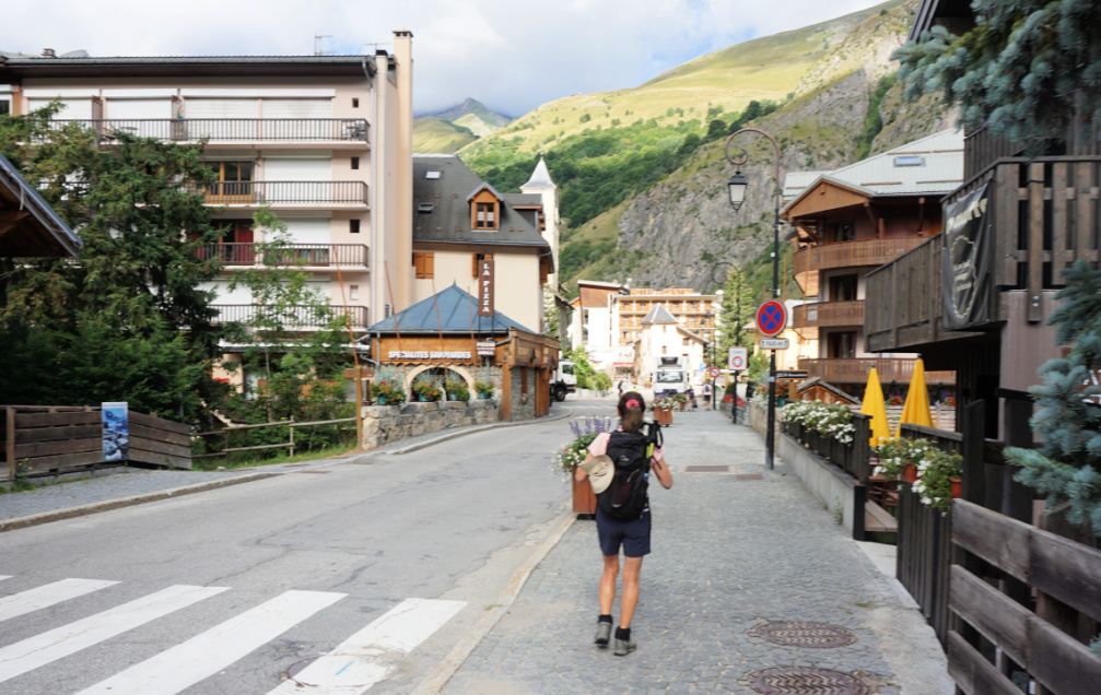 |
| Valloire Village |
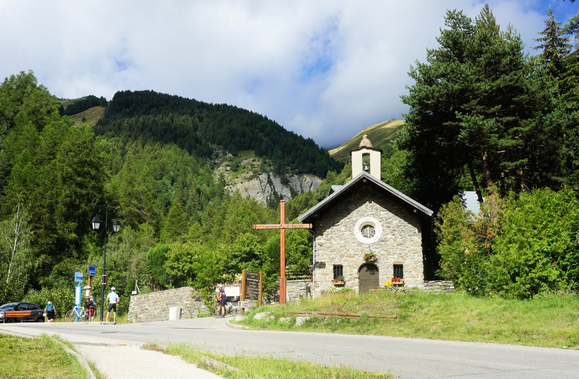 |
| La Borgé |
 |
| Departing La Borgé |
 |
| Trail to Poingt Ravier |
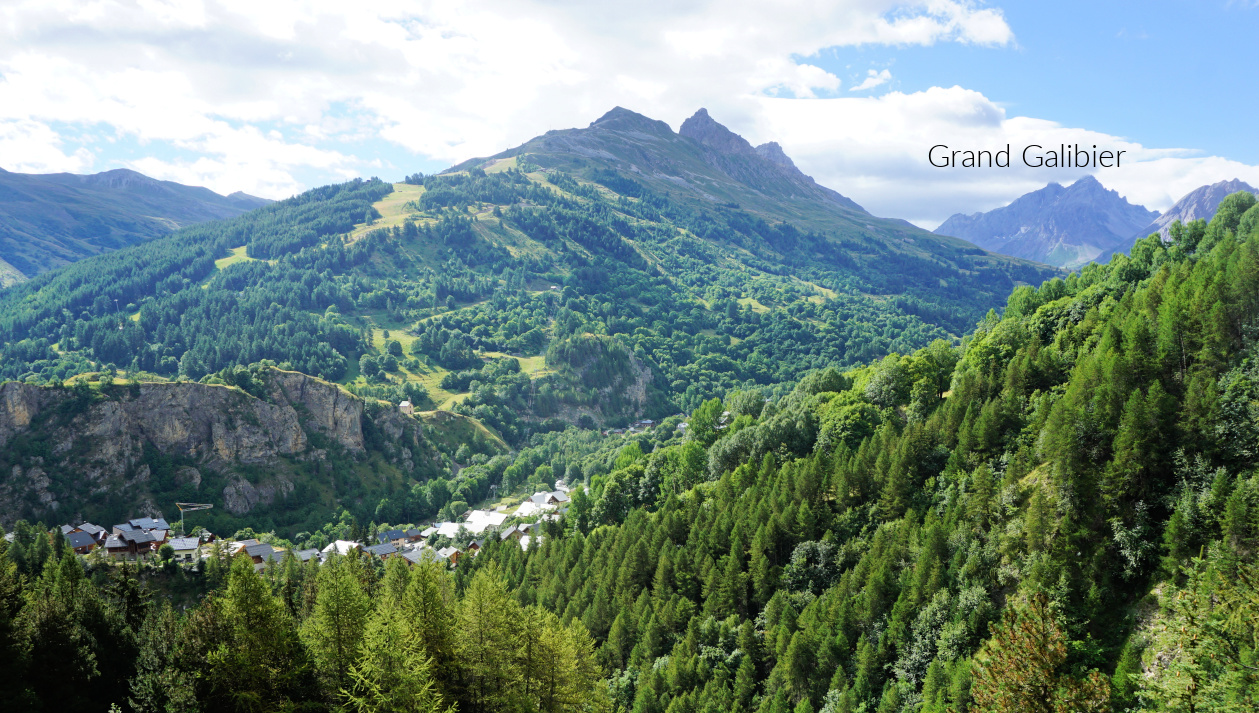 |
| La Mitre and Grand Galibier |
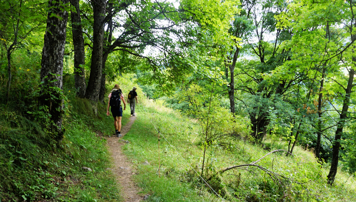
We crossed the Valloirette River to la Borgé next to the D902 road where signposts were erected. None of them showed the route to Pain de Sucre but we knew that we had to reach the hamlet of le Poingt Ravier (1646 m) first. There were two options: To climb straight along a zigzagging path (black line on the map) or to take a slightly longer trail which first followed Gorges de l’Enfer to the west. For the ascent, we chose the latter. It turned out to be a beautiful itinerary in the larch woods with views down to the gorge. We followed the trail to 1662 m and a crossroads where we forked right (northeast) to Poingt Ravier. The earlier trail, a bit lower to the hamlet was closed.
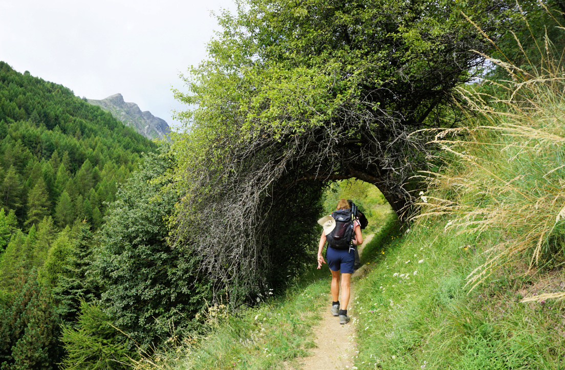 |
| Tree tunnel on trail to Poingt Ravier |
 |
| Almost at Poingt Ravier |
 |
| Le Poingt Ravier |
 |
| Slopes east of Valloire |
 |
| Trail north of Poingt Ravier |
At Poingt Ravier, our goal was well indicated on the signposts. We headed north, climbing along the bare eastern mountain flank, then briefly walked through a larch wood, crossed a stream named Villard. We hiked past le Clot Albanet with pasture areas and a shepherd shelter.
We had the sugarloaf in sight. Heading northeast, we soon reached its southwestern steeper grassy flank and climbed to the summit, already occupied by several hikers. There was an orientation table. We had great views down to the Valloirette Valley, peaks in the east and even a glimpse of the Vanoise Glaciers in the northeast.
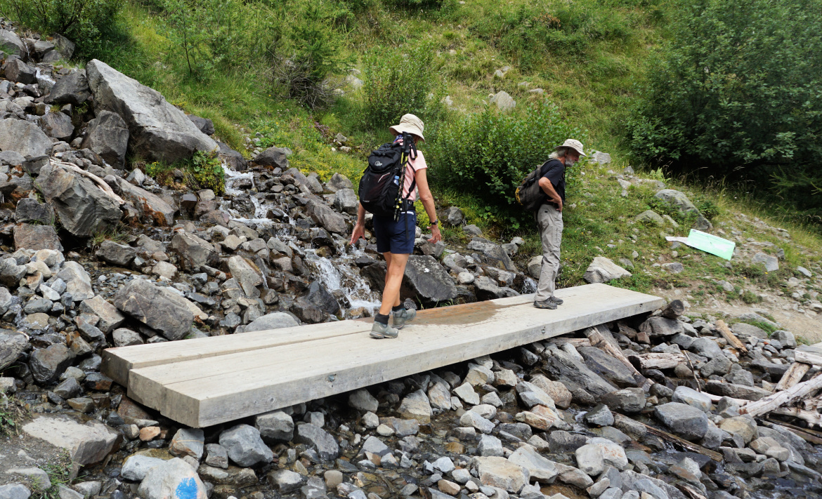 |
| Crossing Villard stream |
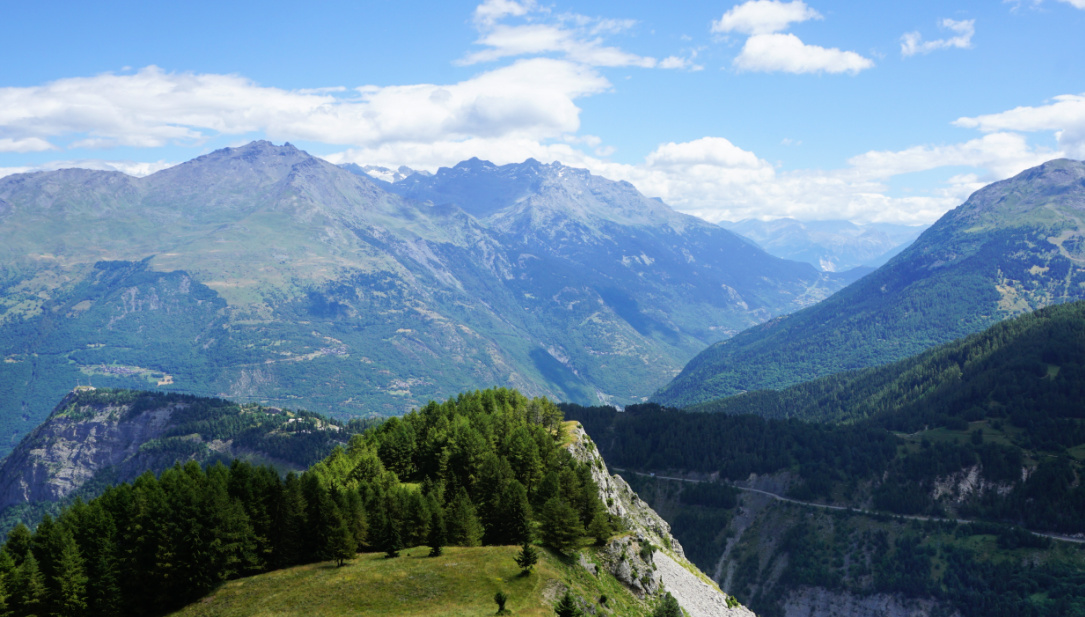 |
| View northeast from Pain de Sucre |
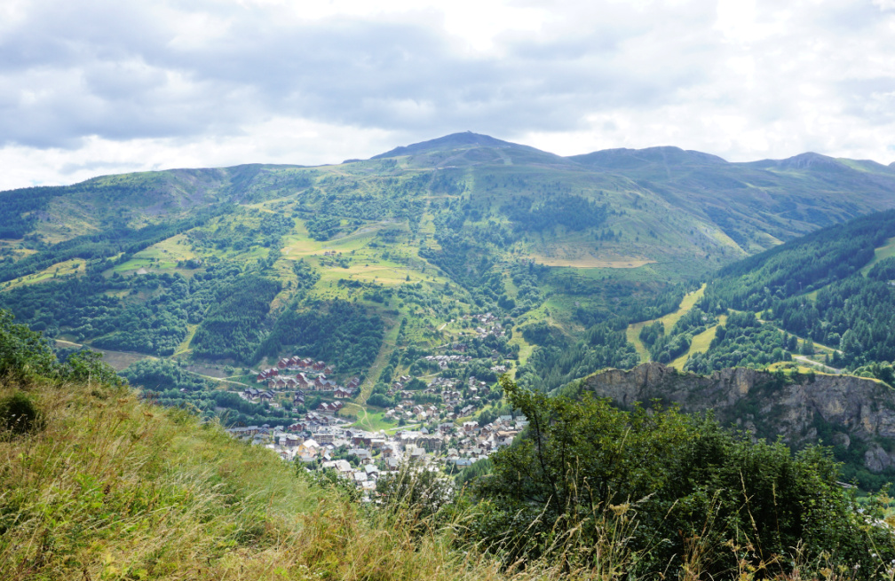 |
| Valloire seen from trail |
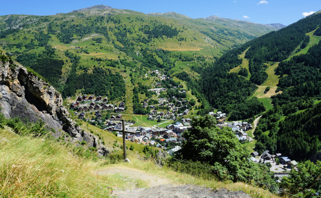 |
| Return trail to la Borgé |
We returned along the same trail to Poingt Ravier, then descended along the direct trail to la Borgé and Valloire Village.
Distance: 11,3 km
Climb: 660 m
Duration: 4h 40 (active)
Map: 3535 OT




0 comments:
Note: only a member of this blog may post a comment.