Authion: Cime de Tuor hike
North of Authion, several summits lie next to the
GR52 trail soon after the Pointe des trois Communes and
signpost # 410.
We wanted to explore Cime de Tuor (2151 m,) well visible from Authion
and with its steep southern flank quite impressive despite the elevation just
100 m or so more than that of Authion.

|
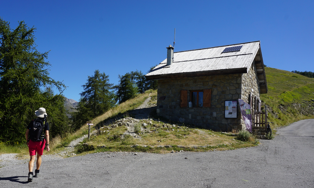
| Cabane de Tueis |

|
|
GR52 from Cabane de Tueis
|

|
|
Cime du Diable seen from Authion
|

|
Pointe des Trois Communes
|
From Cabane de Tueis parking (1889 m), we headed east following GR52
and ascended along a panoramic ridge. We passed some ruined barracks and
reached signpost #410 next to Pointe des trois Communes. We descended
to Baisse de St-Véran (1836 m) and climbed along the eastern flank of Cime
de Tuor to Col de Raus. Here we left the GR52.
Maps indicate a path to the summit but in reality it was almost
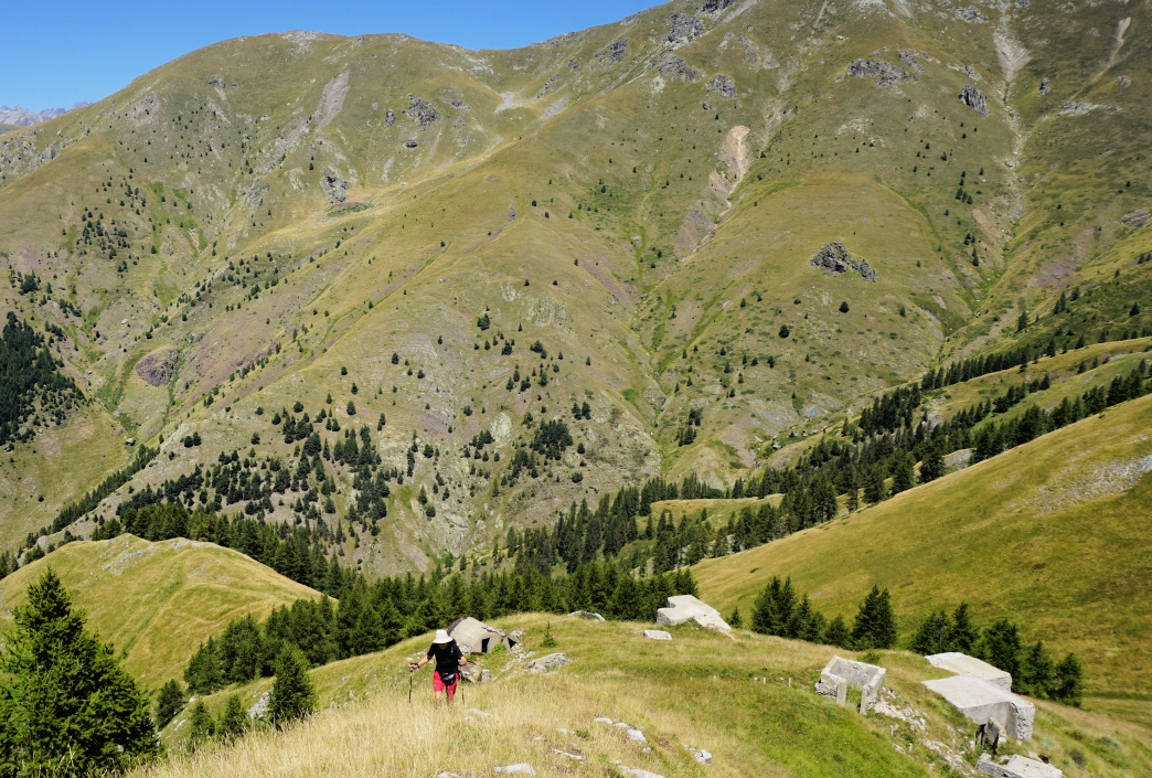
ingrown and invisible. A bit higher, we passed remnants of old bunkers. We
settled for the northern fore summit where we had our picnic before
returning to Col de Raus then back to our starting point.

|
|
Cime de Tuor northern flank
|

|
|
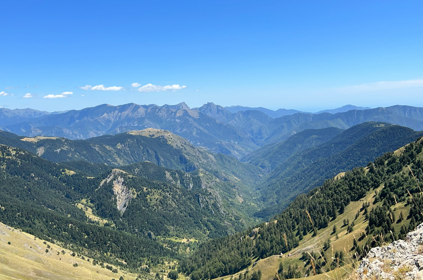
View east from Cime de Tuor
|

|
|
Steep northern flank Cime de Tuor
|

|
|
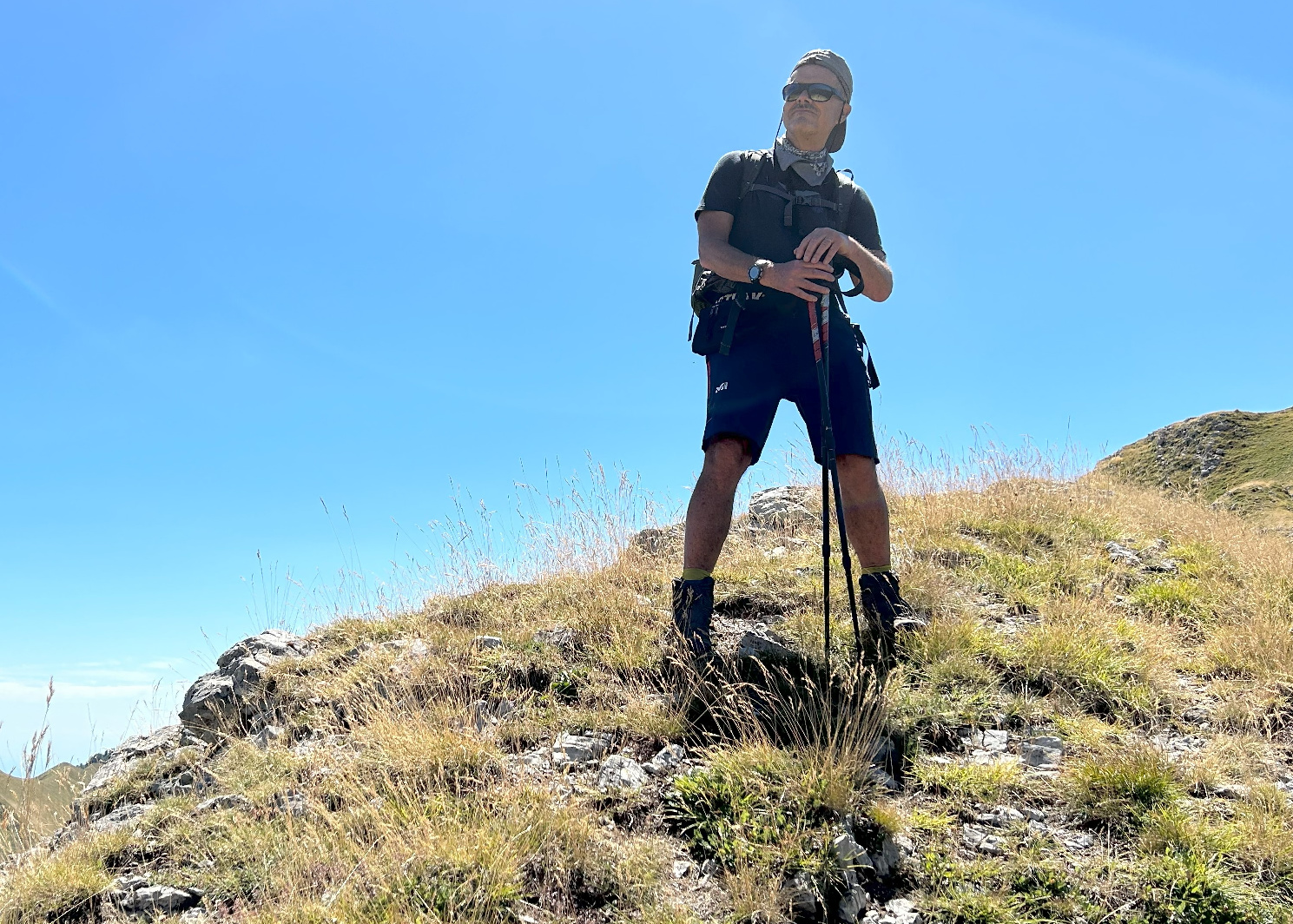
Cime de Tuor fore summit
|

|
|
GR52 south of Col de Raus
|
This itinerary which ran entirely above the tree line, offered panorama
views all the way. The southernmost 2500 m+ peaks (Such as Cime du Diable,
Mont Capelet Superieur) were just in front of us in the north. Choose a day
with good visibility when hiking in this region.
Climb: 710 m
Distance: 11,4 km
Duration: 4h 30
Map : 3741 OT Vallée de la Vésubie


0 comments:
Note: only a member of this blog may post a comment.