Queyras: Sommet Bucher
 |
Sommet Bucher view southeast
|
Situated between Château-Queyras and Molines-en-Queyras, the mountain top of Sommet Bucher (2254 m) is surrounded by forests and pasture areas. A road near the summit was built already in 1892 when it was considered an important military observation point. Due to easy access, it has become a popular hiking area in the Queyras Regional Nature Park.
We used the village of la Chalp of St-Véran (1768 m) as our starting point. La Chalp is located by the D5 road, some three km from St-Véran.
 |
| Sommet Bucher seen from east |
 |
| La Chalp St-Véran |
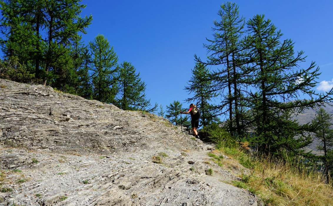 |
| Steep trail above la Chalp |
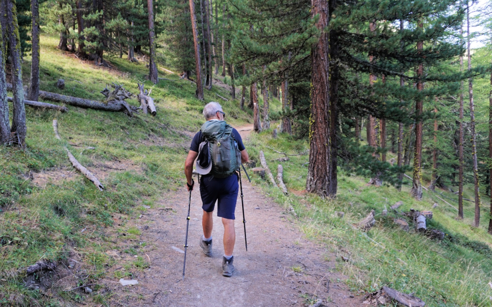 |
| Easy part of GRP trail from la Chalp |
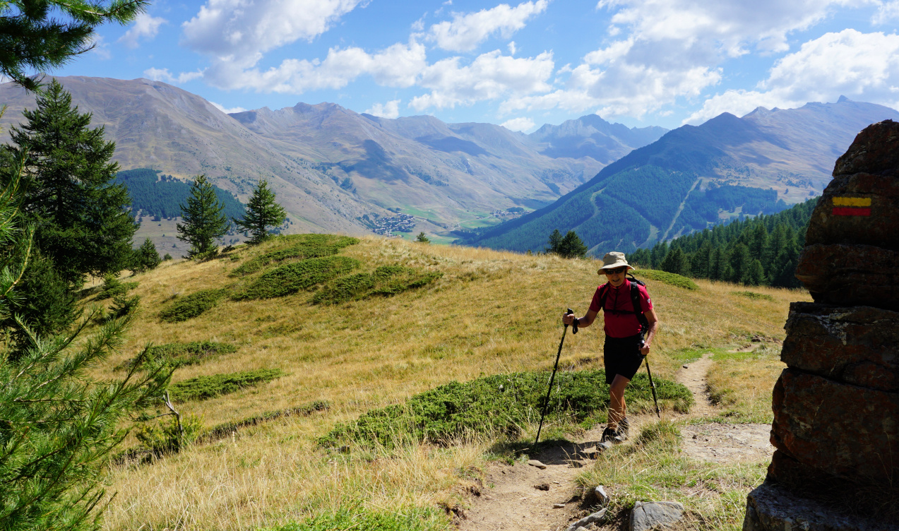 |
GRP trail near Chapelle St-Simon
|
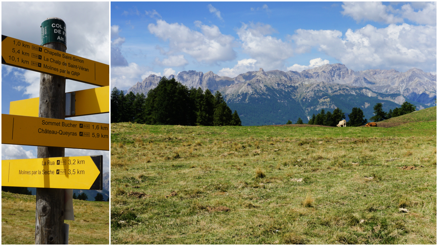
We ascended along the GRP* trail (yellow-red) named GRP Tour de la Dent de la Ratier, heading northwest. In the beginning, the incline was steep. We reached about 2200 m where the trail levelled off. We passed pasture areas with livestock, Lac des Clots and the Chapel St-Simon. After a short descent we came to Col des Prés de Fromage (2146 m), and a crossroads of several trails.
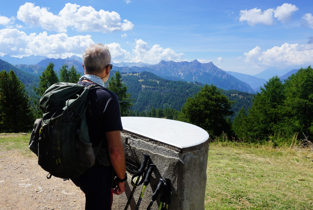
We left the GRP trail and headed straight north to the summit of Bucher along a yellow-marked trail. There were many parallel paths in the woods. There was a stone hut on the summit with orientation tables on both sides. Some treetops prevented a full 360° panorama, but the views were nevertheless excellent.
 |
| Pasture area near Chapelle St-Simon |
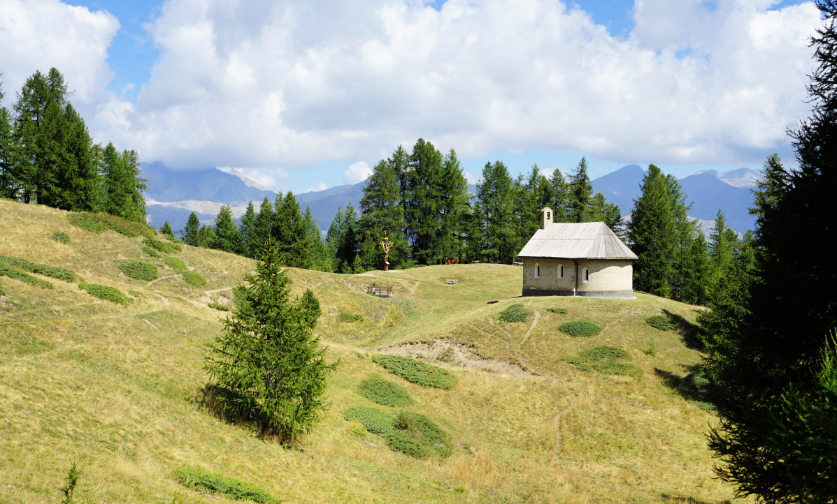 |
| Chapelle St-Simon |
 |
| View west Col des Prés de Fromage |
 |
| Sommet Bucher |
 |
| Moline en Queyras |
We used another trail for the short descent back to Col de Prés Fromage, then forked left (Molines par la Seiche) and descended in the forest via Clot Henri (a clearing with a renovated shepherd’s hut), reaching soon a wide gravel track. At la Seiche, there was a short but steep rocky stretch. We came to l’Aguie Agnelle stream, crossed a wooden bridge then forked right towards la Chalp. The trail first followed the stream, then ran next to the D5 for a few hundred meters, and before la Chalp continued in a meadow.
It turned out to be a great loop hike in beautiful mid-altitude surroundings. The return itinerary straight down to the valley then upstream back to la Chalp might be considered less interesting by some but enabled a loop hike. The other option is to hike back along the same trail.
Map: 3637 OT Mont Viso St-Véran.Aguilles; PNR du Queyras
*) Grande Randonnée de Pays, a regional trail, often a loop and shorter than a GR trail.
 |
| Sommet Bucher hike trail |


0 comments:
Note: only a member of this blog may post a comment.