Puy de Tourrettes from St-Barnabé
We have hiked up to Puy de Tourrettes (1268 m) many times, and written a few blogposts featuring different itineraries.
Because of its elevation (970 m), the parking on the St-Barnabé plateau is a tempting starting point to explore the surroundings. It should be added that marked routes to the Puy de Tourrettes summit have been removed from new maps and some guides.
The terrain is not restricted but seems to be often used by sheep farmers.
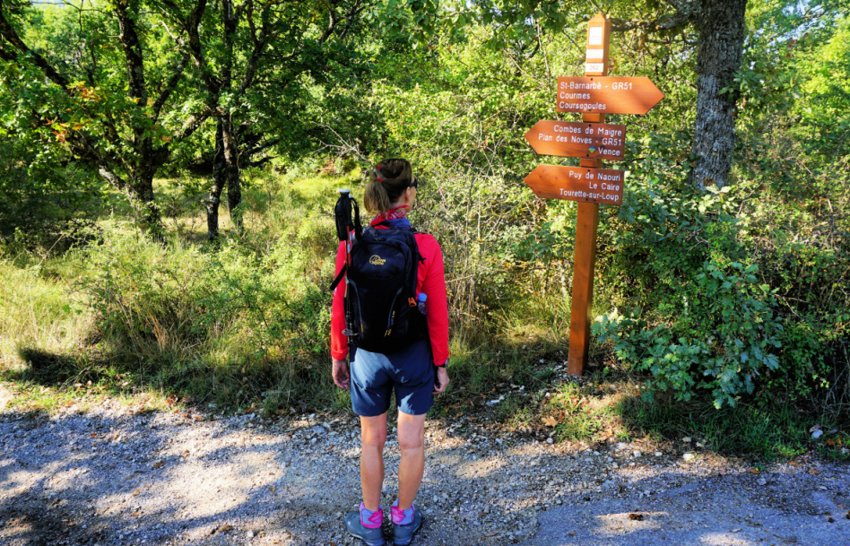 |
| Start along GR51 signpost#262 |
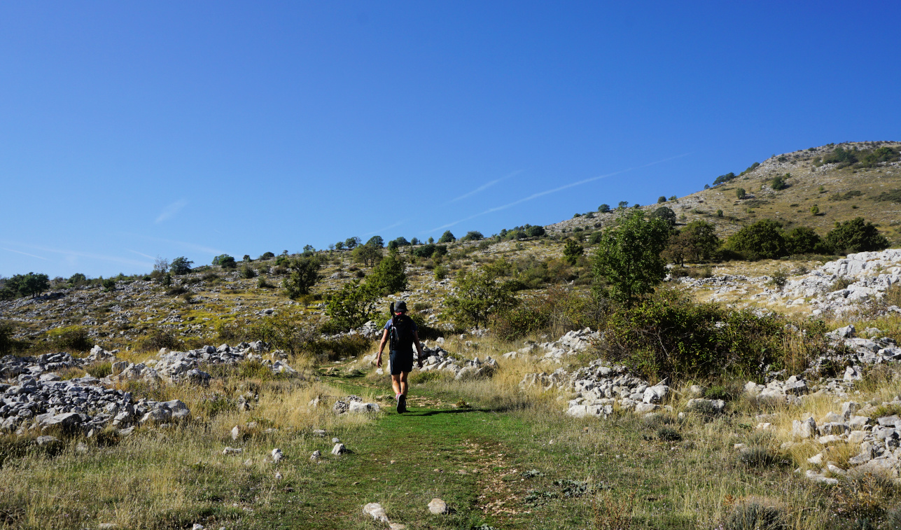 |
| Between signposts #167 #177 |
 |
| Puy de Tourrettes eastern flank |
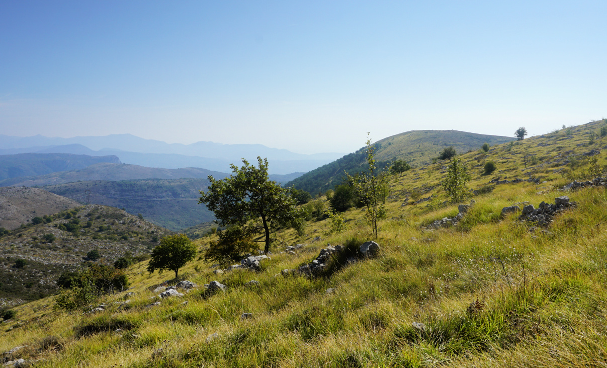 |
| Puy de Naouri seen from trail |
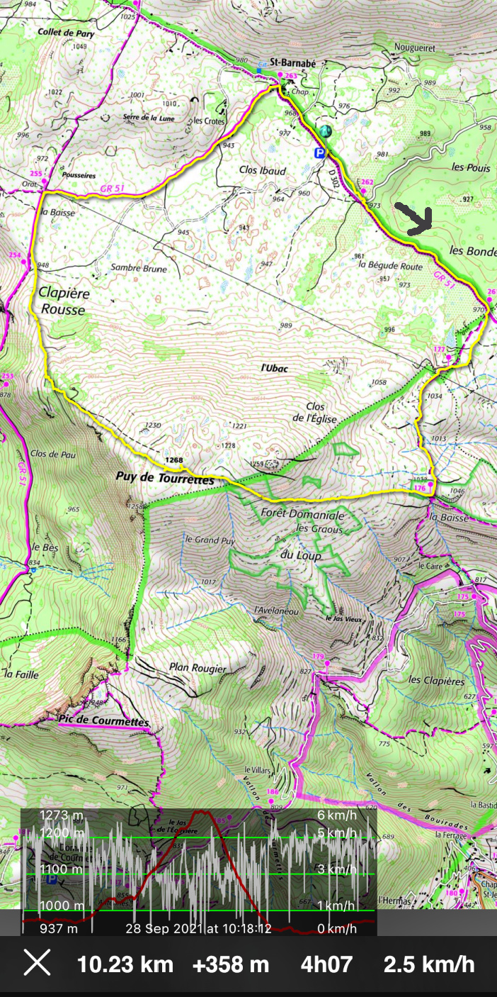
From the parking, we followed the GR51 southeast (almost flat) to signpost #261 where we forked right, heading south. We reached la Baïsse (signpost #176) above le Caïre. We forked right(west) and started to ascend along a good albeit unmarked path which took us directly to the flat summit marked with a big cairn.
 |
| Pic de Courmettes seen from trail |
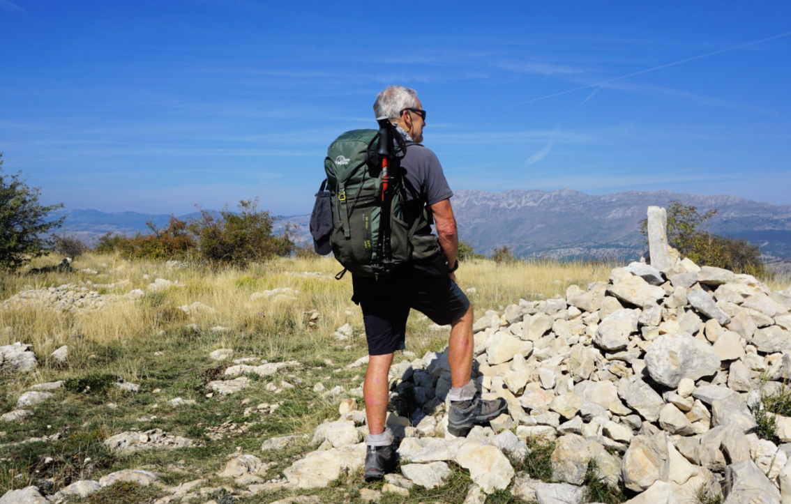 |
| Puy de Tourrettes summit |
 |
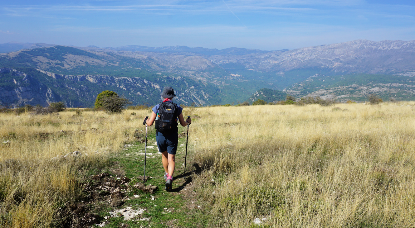
| Descending to Plateau St-Barnabé |
 |
| Oratory by GR51 trail St-Barnabé |
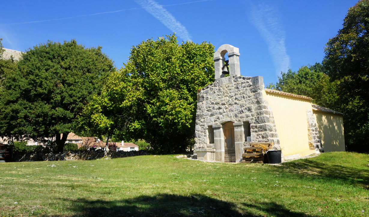 |
| Chapel in St-Barnabé |
The trail continued along the bare north western flank, and we descended along it passing Clapière Rousse and some pine woods. We came back to GR51, walked to signpost #255 and an oratory where we forked right again, and still on the GR51, headed first to the hamlet of St-Barnabé then back to our starting point.
Distance: 10 km
Climb: 360 m
Duration: 3h 30 active
Map: 3643 ET Cannes Grasse Côte d’Azur




0 comments:
Note: only a member of this blog may post a comment.