

Loop in the Anelle Forest
 |
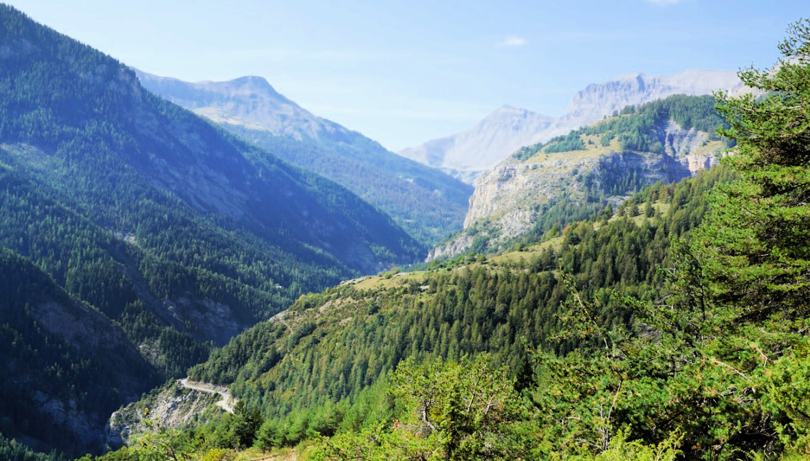
The following loop hike which circles Cime d’Anelle (1841 m) northwest of Saint-Etienne de Tinée (1160 m) runs partly in ancient pasture and agricultural land, partly in a verdant spruce, pine and larch forest.
The French name of the Anelle Forest, Bois d'Anelle, is derived from the provençal word agnel meaning agneau, lamb.


We parked next to the Pinatelle Telecabin, crossed the river and walked past a school named Jean Franco to signpost #78 and started to ascend along the GR5 trail, crossing a road several times. The area on the sunny southern slope called Ublan comprised several old farmhouses, some apparently being renovated.
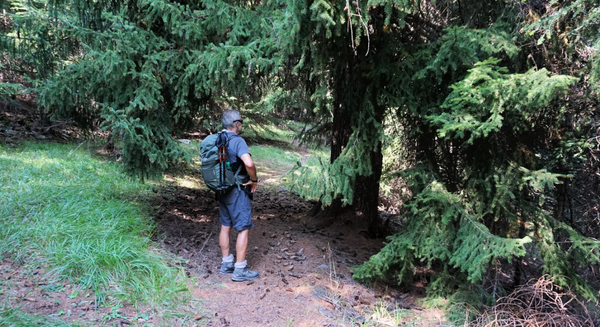
We continued to signpost #80 and 81 where we left the GR 5, forked right (Tour de Bois d’Anelle), followed a dirt track then a good path which soon dove into the forest. The day was hot for mid-September, and it was nice to continue in the cool Bois d’Anelle where the trail undulated in the shade.
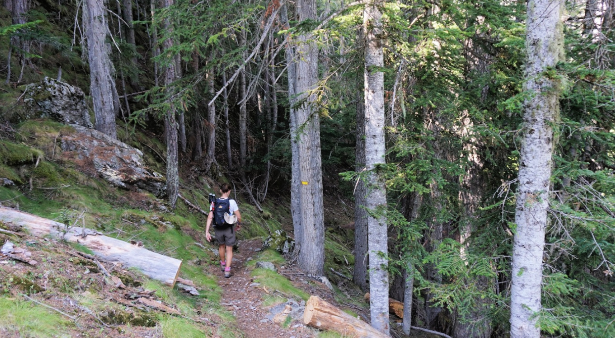
We followed the yellow-marked PR trail as far as to Col d’Anelle (1739 m) where we re-joined the GR 5 (signpost #71). We forked left and followed a wide track, climbing a bit. After about 1 km, we left the dirt track, and descended in open terrain with old fields, barns and some houses on both sides. We came back to signpost #81, completing the loop, then to #80, and descended fairly rapidly back to the village.
Distance: 10,7 km
Duration: 4 h
Climb: 680 m
Map : « Haute Tinée I » 3639 OT
 |
| Bois d'Anelle loop hike track |
 |
| Location of St-Etienne-de-Tinée |


0 comments:
Note: only a member of this blog may post a comment.