

Beuil: Hike around Pin Pourri
 |
You will find many grassy and soft hiking trails around Beuil, in the upper Cians River Valley. We wanted to explore the trails east of the village, in particular Mount Pin Pourri (1826 m) which is located half way between Beuil and Roubion, another small ski resort.
We were inspired by the route described in another blog and first followed this itinerary.
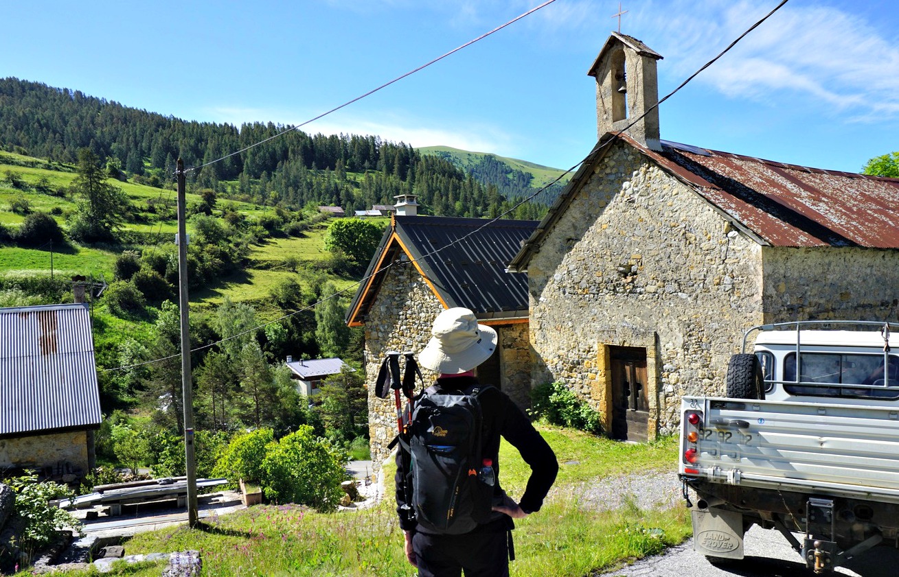
We drove to Beuil (75 km from Nice) along the D28 road and parked just below the village where a narrow and paved road forked right to the hamlet and chapel of St-Ginié on the other side of River Cians. The original description advised to park there, near the chapel but there is very little space if any.


We located signpost #59 and followed instructions to a place called Liberture. After a short ascent to signpost #60 (la Moute, farmhouse, cows) we turned east, and climbed along a dirt track for just about 200 m. Our trail then forked sharply left along another dirt track as far as to a barn. We then continued the ascent along a path on a grassy slope. There were fading yellow markings here and there. In places, it was a bit hard to see the trail. Apparently, it was not one of the main hiking arteries! We reached signposts #63 and 64 next to Liberture (ruined houses, a chapel a bit lower).
Just after Liberture, the grassy southwestern slope of Pin Pourri became visible. We started to ascend along it to the summit. However, after a while we observed a big flock of lambs plus dogs guarding them. Not wanting to disturb them, we turned right and decided to circle the mountain instead.
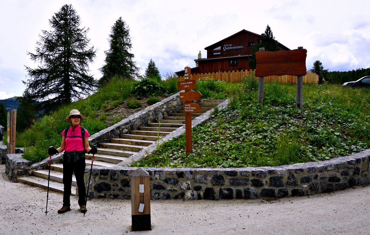
We descended back to the marked trail and followed it to signpost#65, a place named les Compès. It was a crossroads of some trails and dirt tracks. We took the dirt track that ran along the eastern flank of Pin Pourri in the woods, then ascended to Col de la Couillole by the D30 road.
From here, we took the GR 52A trail which descended rapidly, first following the road. The trail went right through a cattle pasture area. This part of the trail was wet, trodden by cows. Having negotiated the pasture, the trail became nice and we descended back to signpost #59.
Climb: 450 m
Distance: 10,5 km
Duration: 3h 50 active
IGN Map: Haut Cians Valberg 3640 OT
The map below shows our actual route in green, the planned shortcut in red. We have used the iPhiGénie mobile app.


0 comments:
Note: only a member of this blog may post a comment.