

Easy loop trail above Vence

This loop trail above Vence called Circuit du Malvan represents another great winter walk on Côte d’Azur. The French description can be found on the randoxygène web site.
To reach the trailhead behind Chateau Notre-Dame-des-Fleurs, fork right (when driving from Vence) from the RM2210 road about 3 km west of Vence, just after the roundabout.


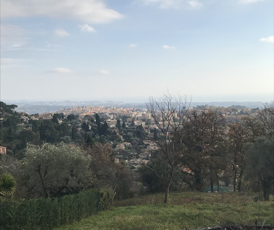
Behind the Chateau, signpost #119 showed the start with the text Circuit du Malvan among other locations. We headed north, and ascended passing signposts 118,117 and 116. We soon came to the trail that we had hiked along on several occasions, reaching Chapel St-Raphaël. A bit higher up in the incline, ruins of the Malvans Fortress were visible. We continued straight north, crossed the tiny Malvan Stream, then forked sharply southeast (right) at signpost #114. At signpost #113, we again forked right, now heading towards Vence.
Circuit du Malvan was not anymore written on these signposts, only Vence and the M2 road. But navigation was easy enough. We soon reached residential areas and paved streets, and followed the yellow marks. The trail took some shortcuts between residences as at signpost #111, which took us to Chemin de l’Ormée (signpost #110, a bit hidden) and forked right (west). We walked along it about 900 m before turning left to Chemin des Quatre Vents. We descended rapidly along it to M2210 which we followed till we reached the roundabout. From this point, it was just a short walk and ascent back to our starting point.
The M2210/Route de Grasse running above the main road (M2210A) had light local traffic, and walking along it did not pose any problems.
Distance: 8,2 km
Duration: 2h 30 (walking time)
Elevation gain : 308 m

Map: 3643ET Cannes Grasse Côte d’Azur
Share story


0 comments:
Note: only a member of this blog may post a comment.