

Le Chapeau de Gendarme 2682 m

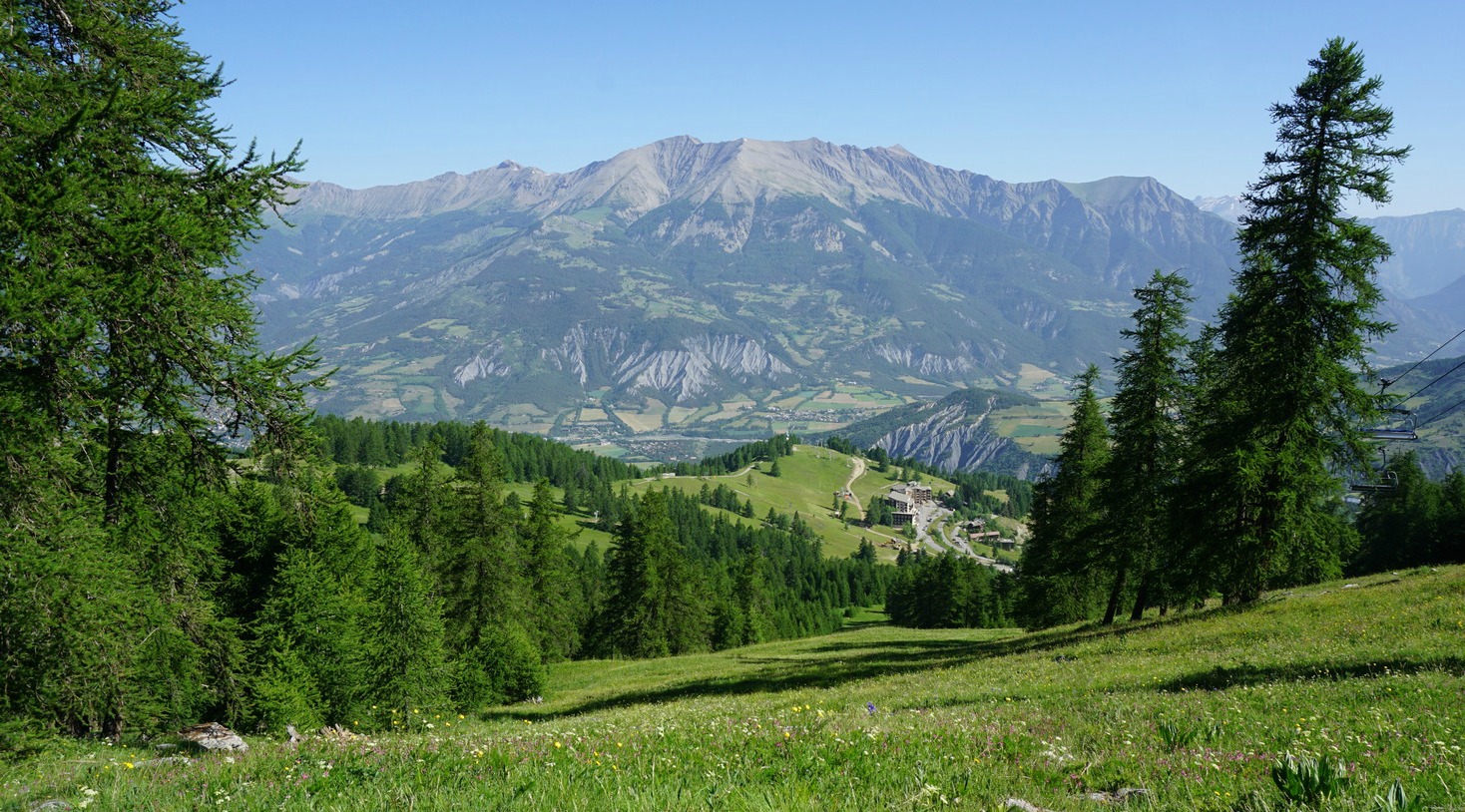
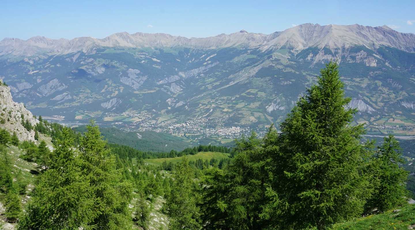
The ascent to Chapeau de Gendarme (2682 m) is a classic hike in the Ubaye Valley. The mountain gets its name, the gendarme’s hat, from its particular form that is well visible from the Valley. The summit offers great 360° panorama views over the region.
We ascended to the summit using the standard and also shortest route along comfortable paths. It is a straightforward and well-marked itinerary.
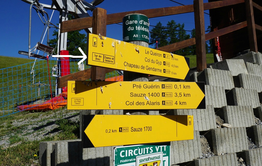
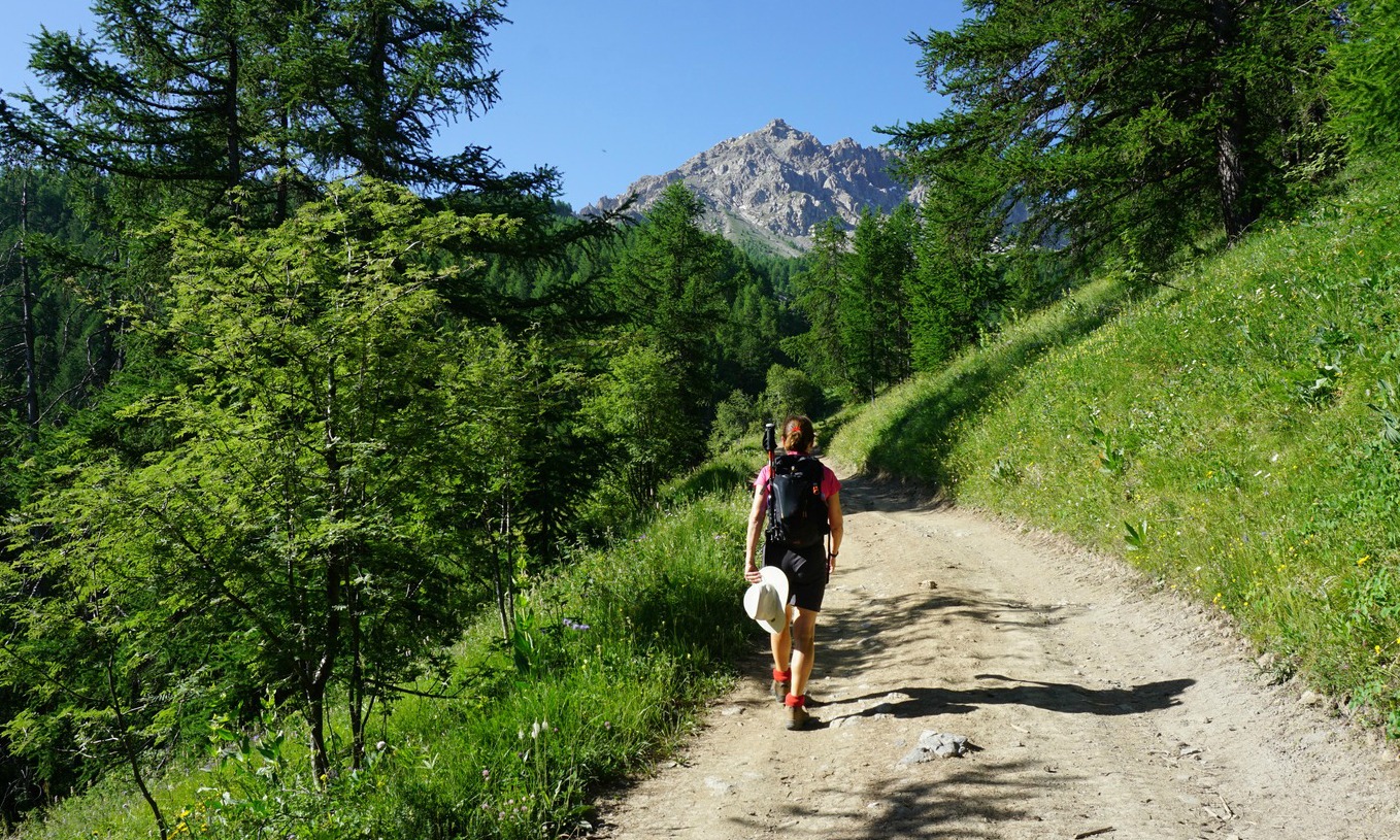
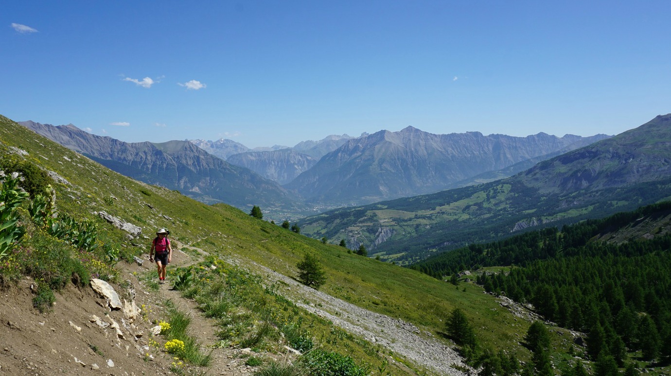


We drove up to Super Sauze ski resort (1700 m asl). We located our first signpost on a nursery slope and took a dirt track uphill (south), following it about 1 km. We then forked left along a trail, re-joined the dirt track heading first east, then southwest in a larch forest, crossing the Brec ski lift. After about 1,8 km from start, we forked right along a path that took us past a spring (la Goutta).
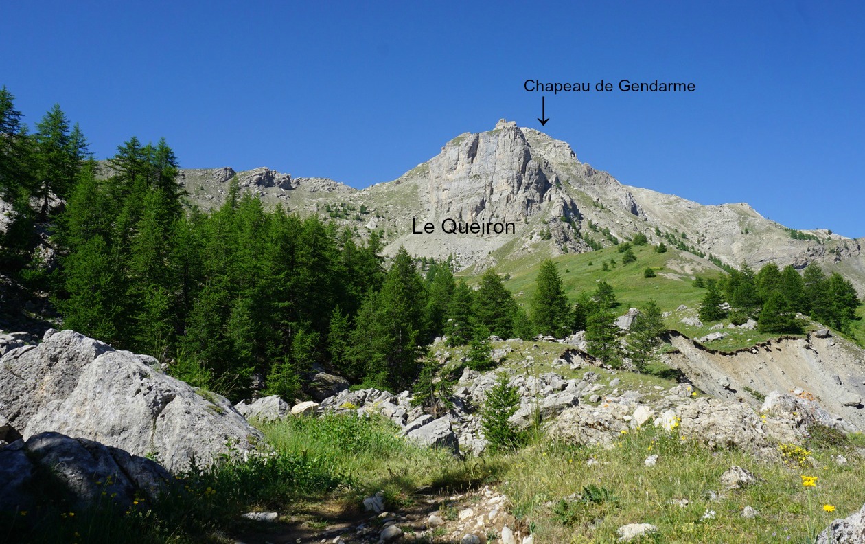
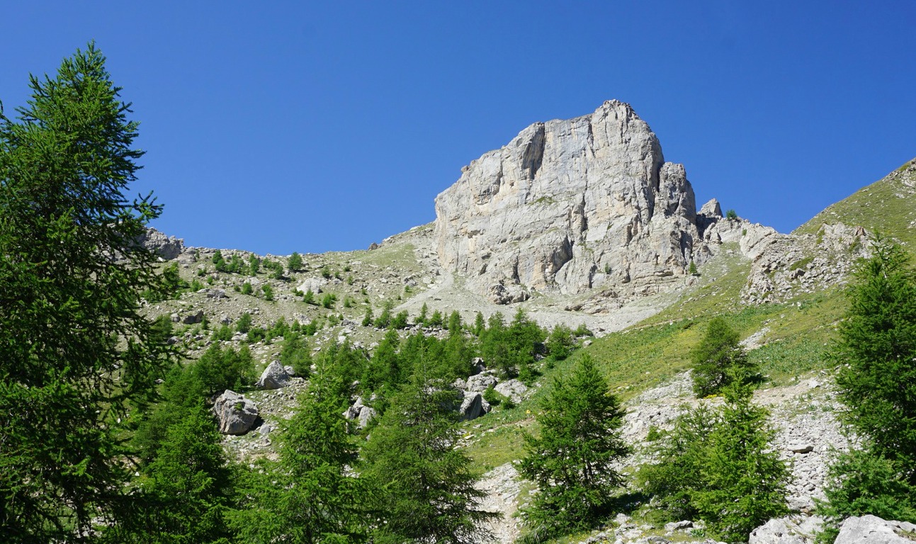
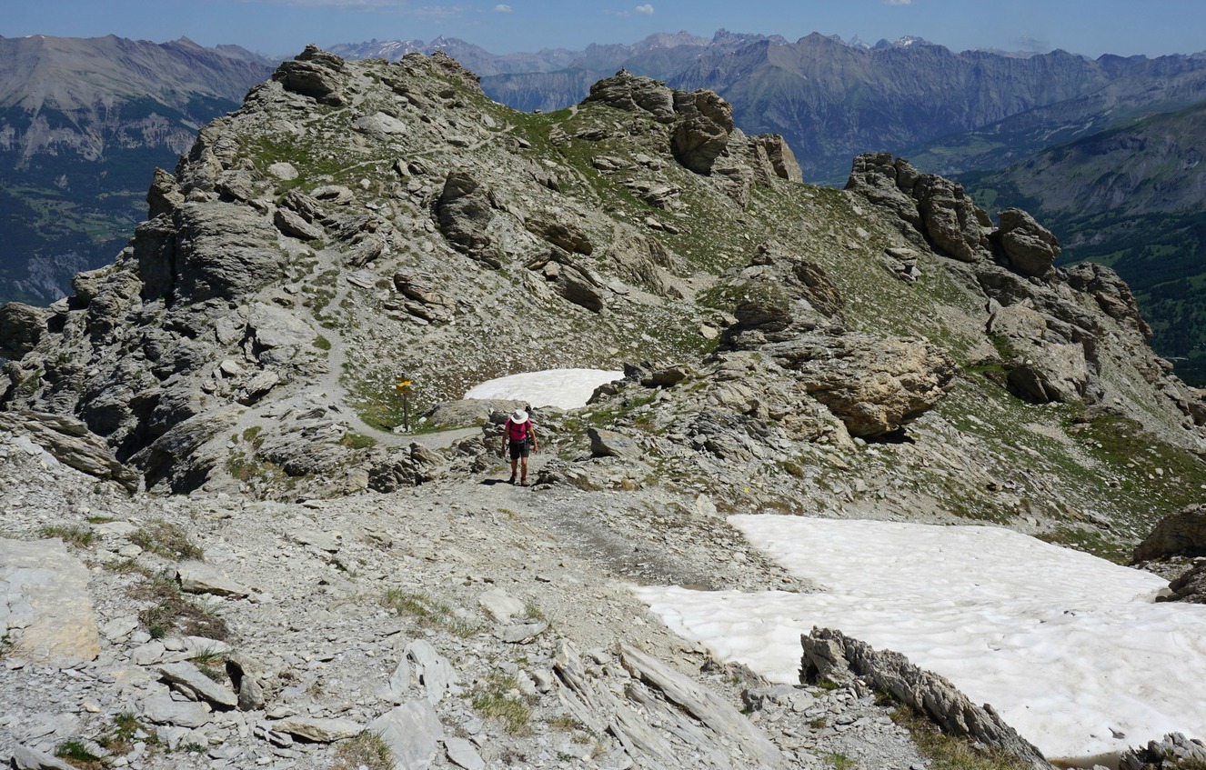
We climbed further above the tree line, passed an immense vertical rock wall (Le Queiron) at about 2300 m elev. We had the sharp figure of Brec Second (2596 m) and Col du Gyp in front of us. At the crossroads, the direct trail continued to Col du Gyp. We forked right, and ascended along the rocky and steep east face of Chapeau de Gendarme. Markings of the trail were yellow, occasionally with other colours. There was a signpost at 2670 m just under the geographical summit.
The heatwave continued in France, and it was unusually hot even at the summit on this clear and almost windless day. Needless to say, we had packed extra bottles of water and sport drink in the morning!
We took the same trail back.
Duration: 5 h
Elevation gain: 980 m
Distance: 12 km
Map: IGN Barcelonette 3540 OT

Share story


0 comments:
Note: only a member of this blog may post a comment.