

Exploring the southernmost leg of GR5 from Aspremont

The mythic GR5 footpath starts in the Netherlands and ends in Nice. During this day hike starting from the village of Aspremont, we followed the trail south.
The trail proper ends in a picnic parc called l’Aire St-Michel, and after that the GR5 follows streets down to Nice, with white-red markings.
We had not hiked along this part of the GR5 before. It seemed to be popular among local hikers, trail runners and mountain bikers.
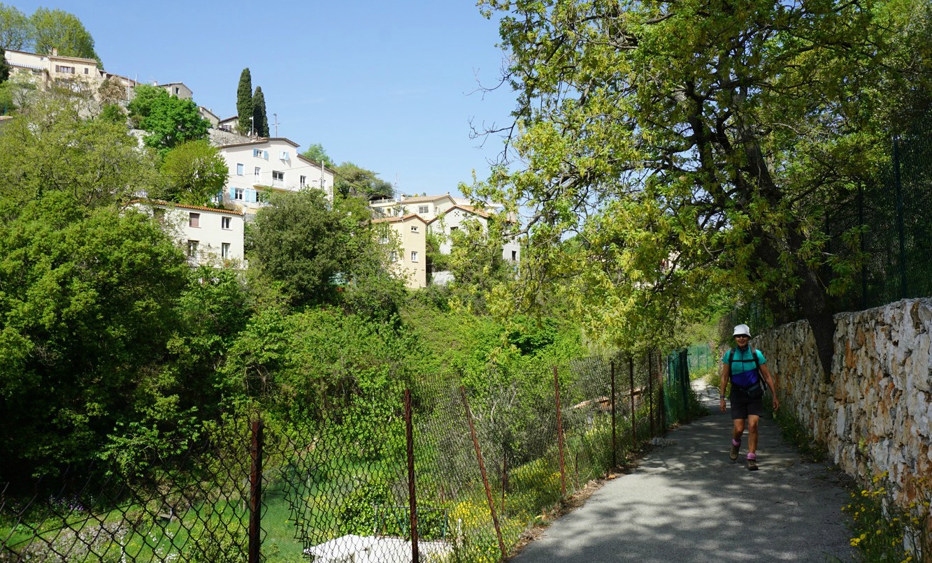


The trail from Aspremont is very well marked and signposted. From the village, we first descended a bit, crossed the M14 road (Route de Nice), and climbed along a paved street passing a school. We soon forked right near some tennis courts and continued along the western flank of Mont Chauve d’Aspremont. The trail soon levelled off, heading south. After the crossroads to Mont Chauve, the GR5 trail ran along Crête de Graus towards Nice, slowly descending. The best views were mostly down to the Var Valley and beyond, and to Nice. The trail ran along the western flank of the ridge, not on the top. The vegetation on both sides was mostly dense shrub land, maquis.
We hiked to the end of Crête de Graus, our planned turning point. There was a ruined house surrounded by pines, and from here the trail started to descend to l’Aire St-Michel and to the Gairaut neighbourhood in northern Nice. We used the same trail back to Aspremont.
Distance: 11 km

Duration: 3h 50
Climb: 410 m
Map: « Nice Menton » Côte d’Azur 3742OT
Share story


0 comments:
Note: only a member of this blog may post a comment.