

Pic de Bertagne

Pic de Bertagne (1041 m) is the westernmost summit of the Sainte-Baume Massif. From the summit, view to the Mediterranean Sea is impressive. Unfortunately, on our given day foggy clouds were ascending from the sea.
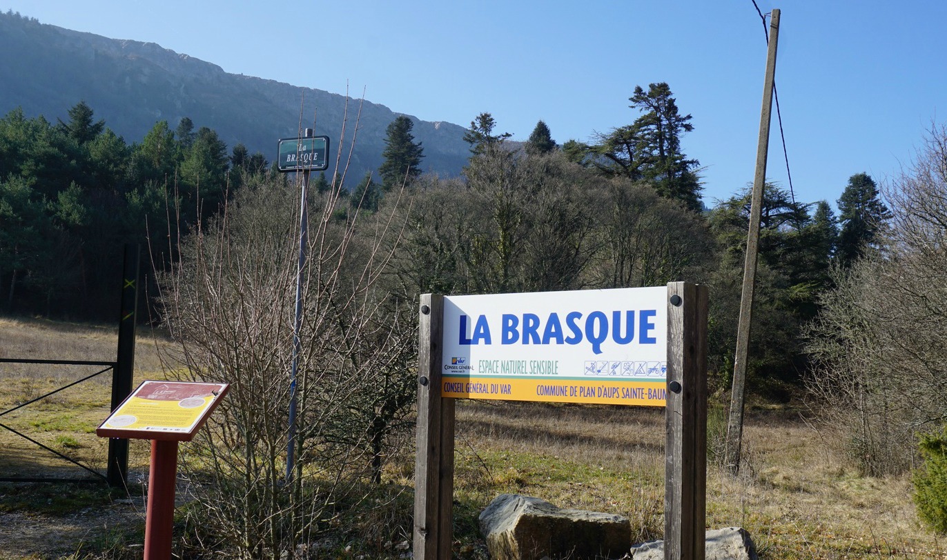
From Plan d'Aups-la-Sainte-Baume town centre we followed a small road about 500 m to La Brasque. The road that went up to the mountain ridge was closed for unauthorized traffic. We used the spacious parking before the gate.
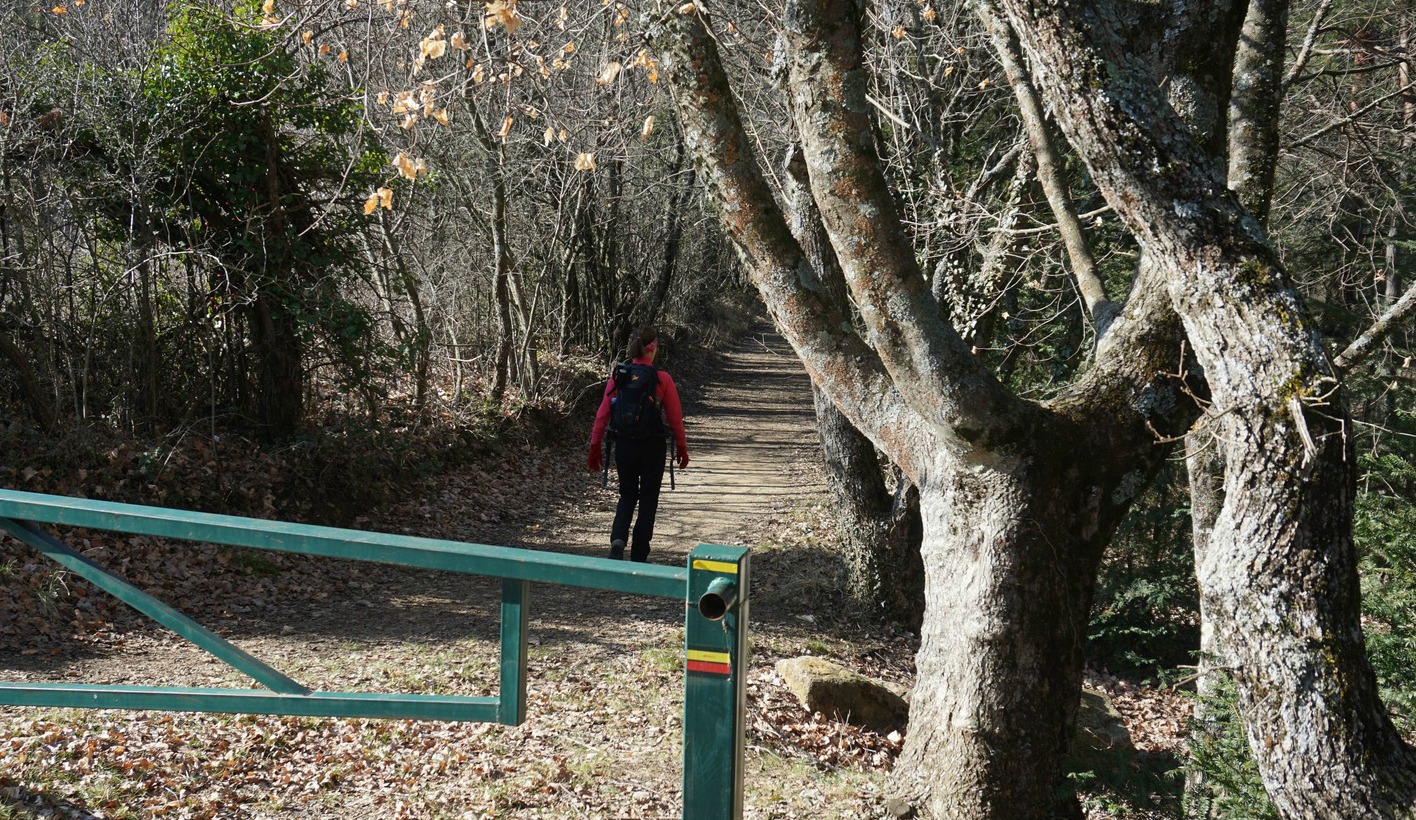

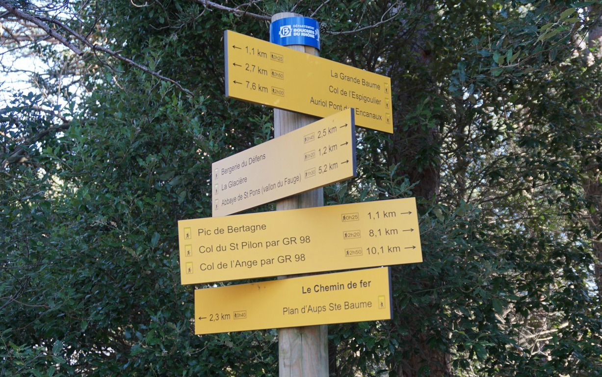


We took the trail on the right-hand side of the road that ascended in the woods to Col de Bertagne. Here we noted a monument erected for the memory of Excursionnistes Marseillais and next to it a comprehensive signpost as the col was at a crossroads of many trails. Our plan was to climb directly to Pic de Bertagne. Another longer option was to circle under the mountain and then to ascend from the southern side.
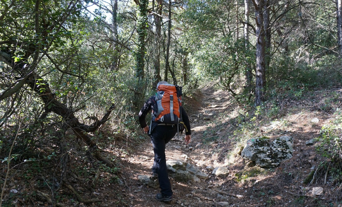
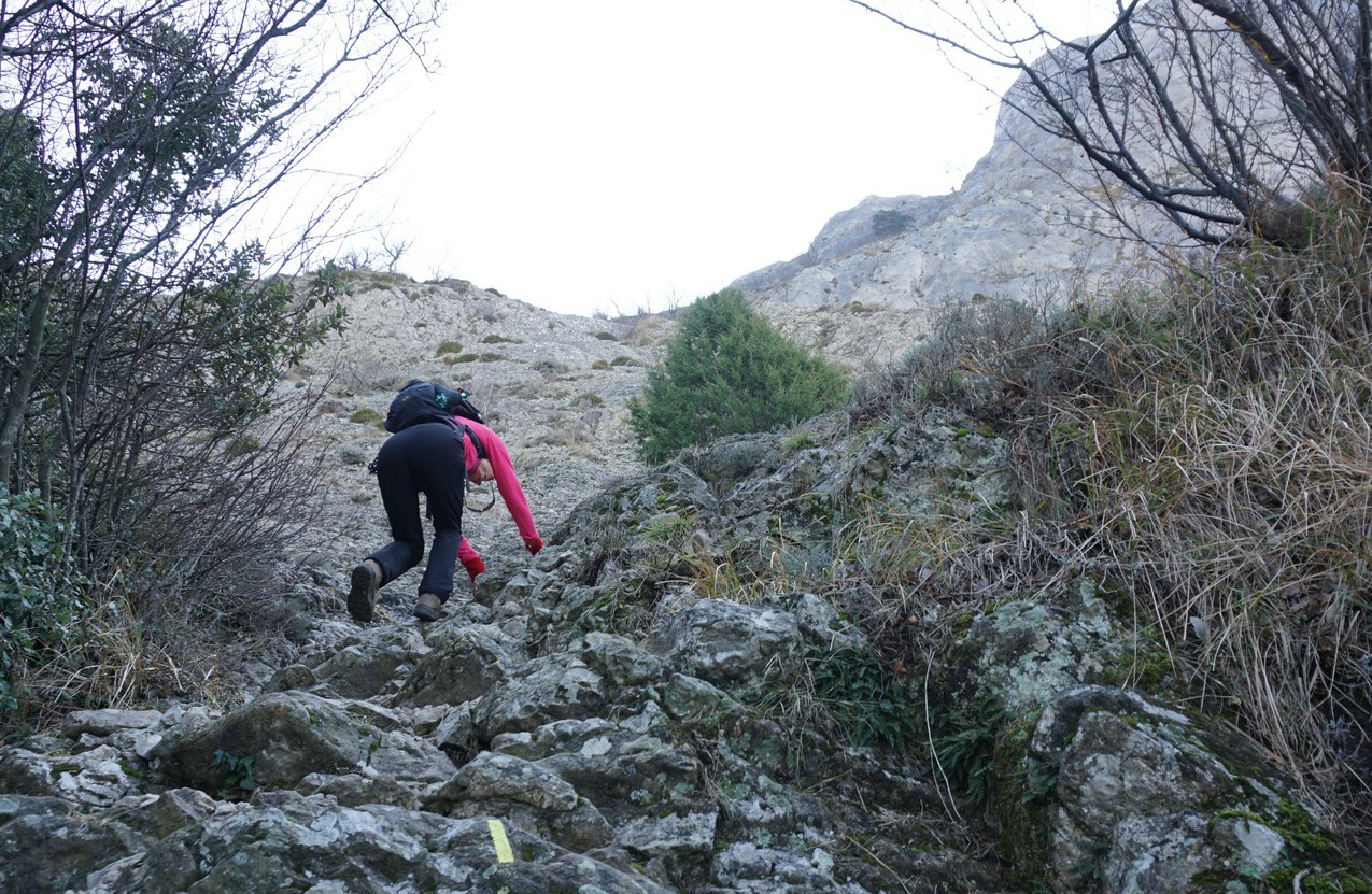
The signpost showed the direct way: 25 min and 1,1 km with frequent yellow markings. We first ascended in the woods. Soon the incline became steeper, and we came above the tree line. We had to scramble for 15 min or so, and wet rocks made the progress slower and more delicate.
We eventually reached the mountain ridge and a plateau 400 m from Pic de Bretagne. The paved road ran along the ridge to the air traffic radar on the summit. Entry to that area was prohibited. We nevertheless found a good spot for our picnic near the installation.
On the way back we used the road. The trail we climbed would have been dangerous to descend.
Climb: 350 m
Distance: 8,3 km
Duration: 2h 20
Map: IGN 3245 ET

Share story


0 comments:
Note: only a member of this blog may post a comment.