

Hiking in the southern Esterel Massif

This is a magnificent hike in the red Esterel Mountains offering great views to the Mediterranean Sea. We did this hike on a warm February Sunday. It also happened to be during school holidays and the trail was extremely popular.
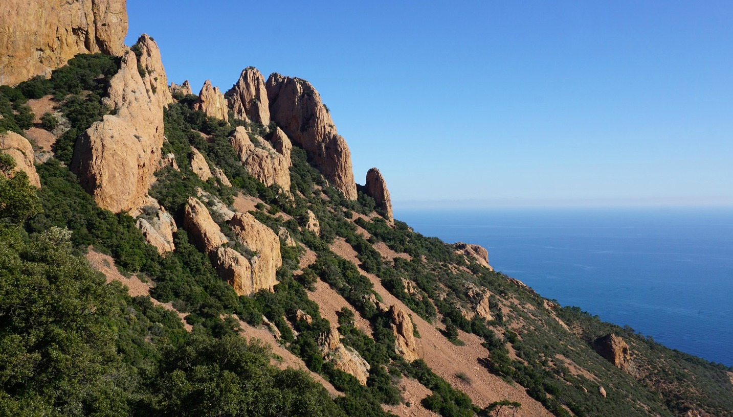
The soil and rock of the Esterel Massif is of volcanic origin, hence the peculiar red terracotta colour.
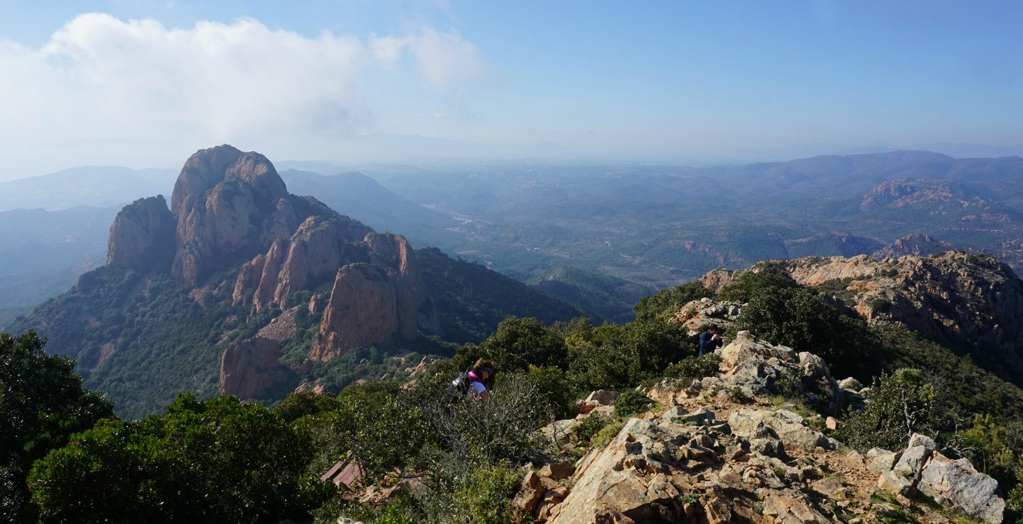
The hike we did ran inside Réserve Biologique de l’Esterel in the southernmost part of the massif in the Var Department. We planned a loop hike with Pic du Cap Roux (453 m) as the highest point.
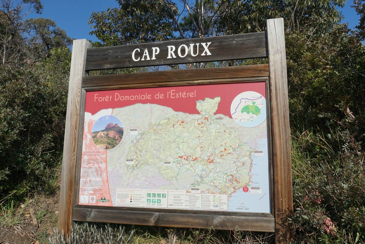
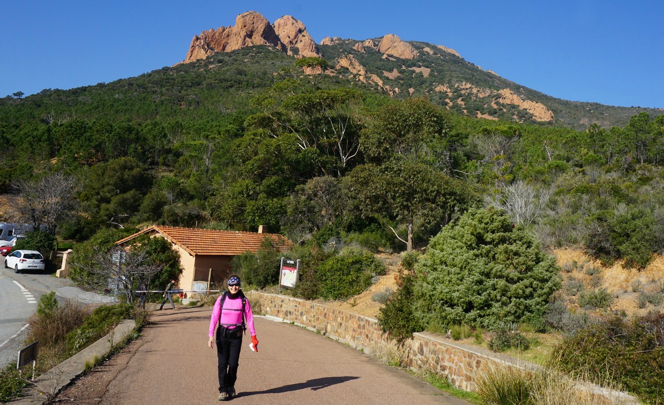


We started the hike from the parking called La Pointe de l’Observatoire on the D559 road between Theoule-sur-Mer and Agay.
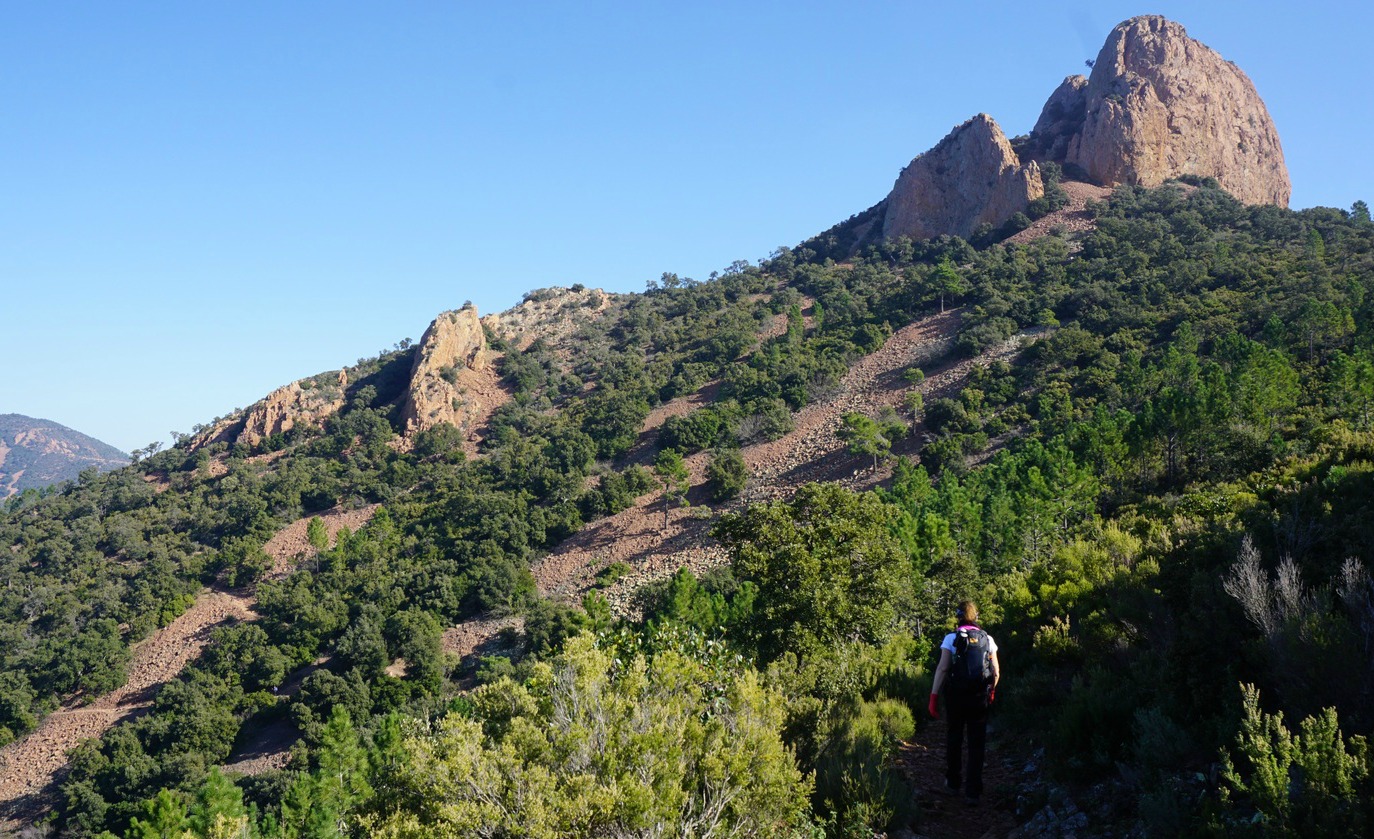
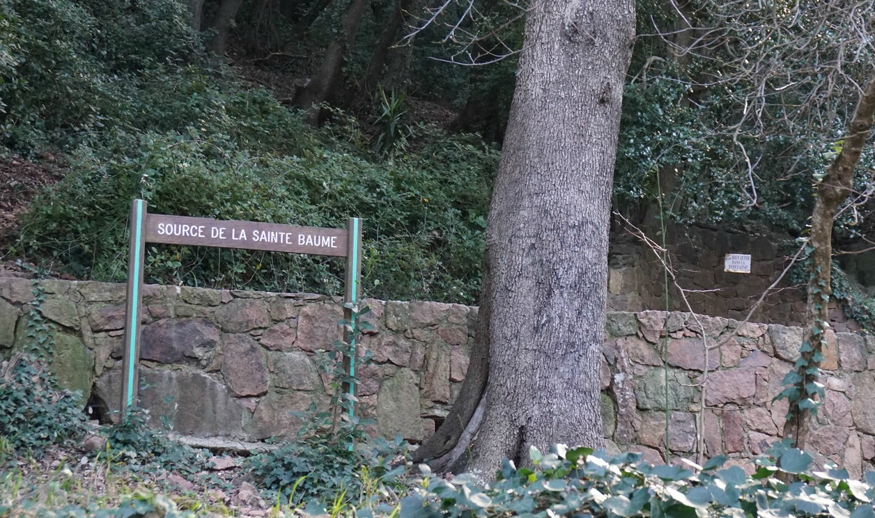
We first ascended along a paved road about 2 km (closed for regular traffic) as far as to Rocher St-Barthélémy. Here we exited the forest road, hit the trail proper and ascended along it to Col du Saint-Pilon. We then descended to Sainte-Baume where we passed a water source and started a long ascent along the northern flank of the mountain, passing the short side trail to a chapel.
Note that compared with most trails in Alpes-Maritimes, signposts here were sporadic or non-existent but the trails were marked with yellow and/or blue. So, we first missed the ascent from Sainte-Baume.
We reached the crossroads just under the summit of Pic du Cap Roux, climbed up to admire the views. The day was clear, but some coastal fog started to form during our picnic on the top, making the visibility somewhat reduced.
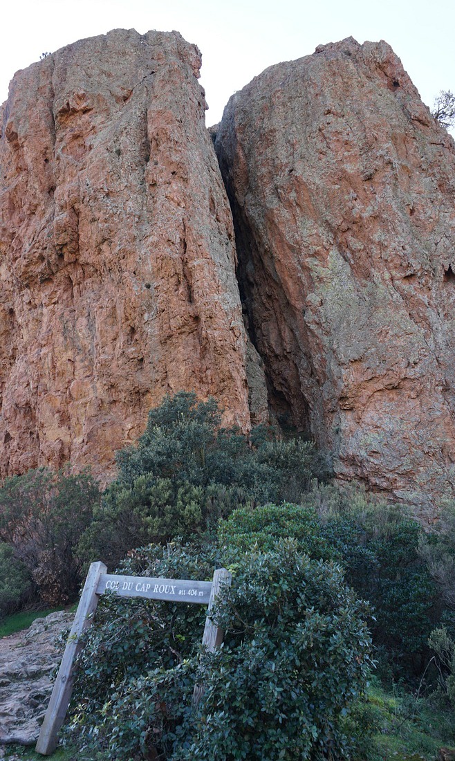
We then descended to Col du Cap Roux. Here we forked left, following the yellow-marked trail. At the next crossroads we again forked left (yellow signs, no signposts). We continued along the trail that ran in the southern incline of the massif, with the Med in sight. We forked left for the third time at the next crossroads, crossing a valley. At one point we thought we might end up too much east but no worries: we eventually reached a wider path not far from the main coastal road and the railroad, turned almost 180°, and headed southwest. We crossed the above-mentioned valley again, now lower, and soon reached our starting point.
Distance: 12 km
Climb: 610 m
Duration: 4h 20
Map: IGN 3544 ET Fréjus St-Raphaël Corniche de l’Esterel
Our GPS track in shown below. Just ignore the small marked detour at Sainte-Baume!

Share story


0 comments:
Note: only a member of this blog may post a comment.