

Isola 2000: Mont St-Sauveur 2711 m

At 2711 m, Mont Saint-Sauveur is the highest peak between the Tinée River Valley and Isola 2000. It offers a great panorama of the surrounding mountains. The view down to the Tinée Valley about 2000 m below is impressive.
The trail from Col de la Valette (2389 m) is alpine, quite stony and in some spots narrow and steep. On the way back, we grew tired of the sharp stones and further down took a parallel ski run/dirt track back to Col de la Valette.


We started from Isola 2000 centre (Front de neige) at signpost #80 well hidden under fir trees. We crossed the valley of Chastillon and walked under a wooden bridge past signpost #81.
The Isola 2000 hiking booklet advises initially to fork left at #81 and to follow Chemin des Italiens, then to climb to signpost #96. We, however, forked right and climbed along ski runs of Pelevos / Mercantour directly to signpost #86 next to the Pelevos Telecabine, saving time and distance. The itinerary then followed easy ski runs as far as to Col de la Valette. From here we continued along a narrow hiking trail that ran in a rocky mountain slope, heading first west, then gradually south.
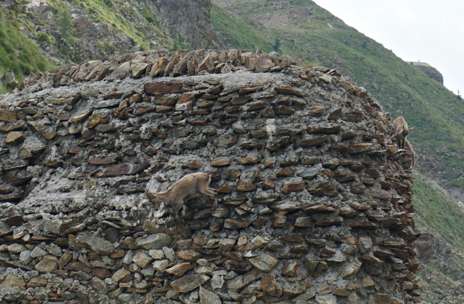
The summit of Mont St-Sauveur came visible, as well as ruins of old Italian barracks below the summit crest. We reached signpost #89 (2508 m) at the ridge between our goal and Cime de Sistron (2603 m). We forked left and climbed the to the summit. There was a bunker a little below, and another at the mountaintop. High above the Tinée Valley, the mountain had strategic importance as the region used to be Italian territory.
On the way back, we descended a bit more when using the ski runs and dirt tracks, before ascending to Col de la Valette. We therefore recorded about 100 m extra climb (image of GPS track below) .
Vertical gain: 860 m
Distance: 15 km
Map: IGN 3640 ET Haute Tinée 2 Isola 2000

Share story


0 comments:
Note: only a member of this blog may post a comment.