

Isola 2000: Pas du Loup

We wanted to explore another trail heading to Pas du Loup (2665m), a mountain pass at the Italian border above Isola2000. We have previously hiked from Isola2000 to Baisse de Druos, also at the Franco-Italian border.
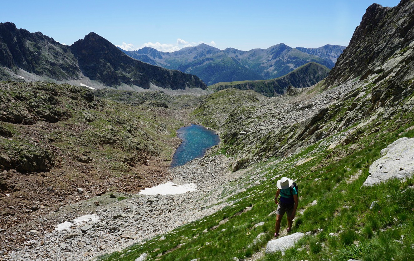
The trail to Pas du Loup forks left from the main artery at signpost #93 near the Lakes of Terre Rouge. The trail up to a small lake is easy. After the lake the path is much narrower and truly alpine.


On a gorgeous August day, we parked at the end of a small street Front de Neige, with blue lamp posts (2080m). We started to ascend along a grassy ski run. The trail soon became much rockier, and we crossed a rock slide.
We continued ascending along the popular trail to Baisse de Druos until we turned left at signpost #93 and soon reached a small lake with no name on the map. The trail seemed to be off the beaten path. Only sporadic hikers ascended here. Pas du Loup was well visible from the lake. We followed the zigzagging trail that mostly ran in a rocky terrain.
The pass comprised a narrow ridge with steep mountains both sides. The northern incline of the pass on the Italian side was partly snow-covered. Certainly not your everyday border crossing!
We descended back along the same trail.
Elevation gain: 630 m

Duration: about 3h 45
Distance: 9 km
IGN map: 3640 ET Haute Tinée 2 Isola 2000
Share story


0 comments:
Note: only a member of this blog may post a comment.