

Loop Trail to Lac des Cordes
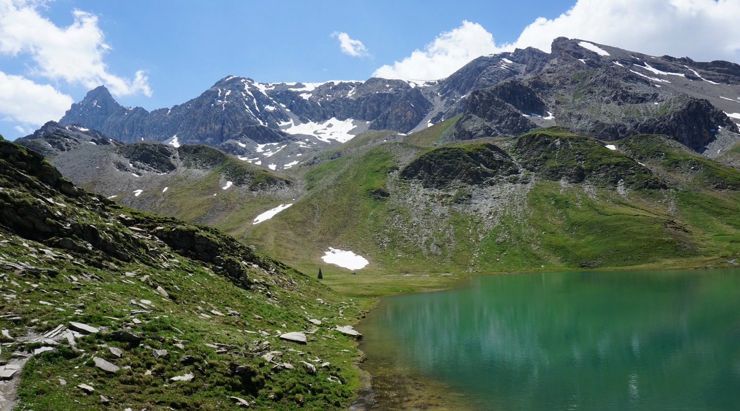
The beautiful Lac des Cordes (2446 m) is a popular summertime hiking destination. Situated above the Cerveyrette Valley, it is walled by majestic peaks such as Pic de Rochebrune (3320 m).
This is a quasi-perfect loop trail offering a lot of variation; vast alpine meadows, some steep ascents and descents, one part even equipped with cable, and on the other hand calm pine and larch forests with easy and soft paths.
The Cerveyrette Valley is quite sauvage. While descending down from the lake, we even thought that we saw a glimpse of a wolf running fast below us in the woods.
To reach the Cerveyrette Valley, you first have to drive through the town of Cervières that can be reached from either Briancon or over the Izoard Pass. The narrow but paved D89T road climbs from Cervières to the valley.
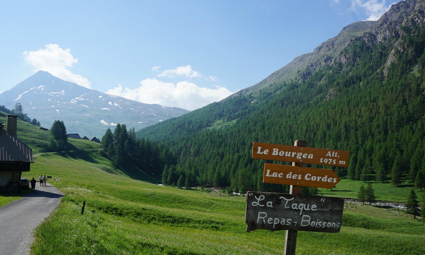


We parked at the limited parking just after the hamlet of Les Chalps (1975 m), and walked along a soft forest road by the River Cerveyrette to the hamlet of Les Fonds (2040 m), where the D89T road also ends and where you can find a bigger parking.
From Les Fonds we first followed the main GR58 trail along a stream up to an alpine meadow where our trail forked right at a signpost (marked as a GR58 variant in the IGN map) whereas the main GR58 continued straight south towards Col de Péas. We continued climbing, crossing some streams. We reached another alpine meadow before the trail turned north, now climbing to Col des Marsailles (2601 m; the highest point of the hike) its southern flank still covered with some snow.
From here, the upper and smaller Lac des Maits was visible below us, and we followed the trail straight north, walking over some snow-covered parts and leaving the lake on our left side.
Lac des Cordes could now be seen, and the trail continued descending in a north-westerly direction to the eastern shore of the lake.
The trail back to the valley started right behind the lake descending rapidly in a north-easterly direction in the Gras Valley. Large areas were covered with rhododendrons in blossom. A bit lower, we dove in a larch woods. A short steep section was equipped with a cable for additional security. However, most of the trail was smooth and easy.
On the way back over the Izoard Pass, we stopped at Refuge Napoléon by the D902 road just under the highest point for excellent blueberry pies and coffee.

Duration: 4h15
Elevation gain: 642 m
Distance: 10,3 km
Map: IGN 3536 OT Briançon Serre-Chevalier Montgenèvre


Share story


0 comments:
Note: only a member of this blog may post a comment.