

Carros Village to Chapelle de St-Sébastien

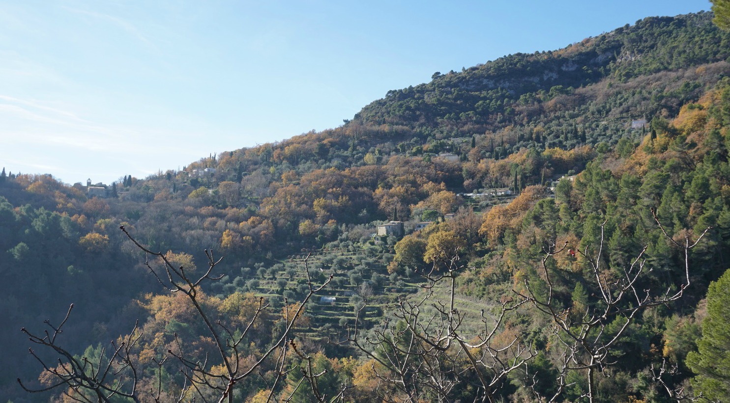
By change we discovered a delightful midwinter walk from Carros Village . The walk offers great views down to the Var Valley, to small villages
on the other side of the River Var, and to the snow-capped Mercantour mountain
tops.
Being this near the Riviera, the trail is surprisingly sauvage, in a natural state. The path is
nevertheless good and well-marked with yellow signs and fresh sign posts
showing the direction to Pont de la Lune
and Chapelle de St-Sébastien.


The trail first descends from the village parking, then
turns left following a paved street for about 150 m before turning left and
further descending steeply in the woods towards Pont de la Lune. When forking
left from the street, we saw a warning not to use the bridge because of the
risk of landslides. However, the trail was not officially closed by the mairie so we continued and wanted to see
the condition of the bridge. The bridge looked renewed, there were other
footprints on the bridge, so we crossed the bridge without any problems. Maybe
the note had been placed after torrential rains earlier this autumn? On the
other hand, in a description from 2012, there were already warnings and the
bridge looked better now! It is possible to take another trail from Carros
Village parking via Chemin de Font Bonne
that runs along the hillside a bit higher. Next to the bridge there are ruins
of an old mill in a bad shape, and going there is not recommended.
From the bridge, the trail ascends fairly steeply, then
crosses the D2209 road. The trail ascends further along a ridge with
unobstructed views and finally joins the D1 road. After about 200 m, the trail
forks left passing a residential area before reaching the chapel. On a sunny
midwinter day, it is a natural spot for picnic while admiring the great views.
At 465 m, the chapel is the highest point of our short hike. We opted to walk
back to Carros Village along a little and quiet road called Chemin du Claret,
and reached our starting point in just about 30 min.

Total walking time: 2 h
Total ascent:
285 m


Share story


0 comments:
Note: only a member of this blog may post a comment.