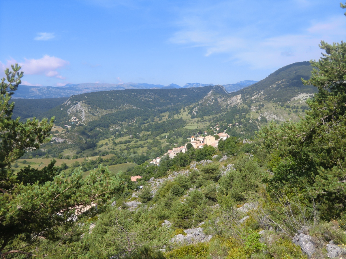
Hike from Coursgoules above Vence

Sometimes, especially on a warm day, you might want to start your hike a bit higher but not drive far from the coast. The medieval perched village of Coursegoules north of Vence could then be your perfect choice. The village is said to be 700-800 years old but the original settlement was built by the Romans. The distance from Nice is 32 km by road, and the village is situated at 1020 m altitude under the eastern part of the Cheiron mountain ridge. The region is part of the Azur Prealps. The river La Cagne has its source southeast of the village. The village itself is certainly worth visiting. It is said to be less touristic. Even so, we saw quite a few visitors on the day of our visit. Some expats have found their home here.
The hike featured here ascends to the Cheiron ridge, follows it west before descending back to Coursegoules. The French guide calls the hike “Circuit de Viériou”. One of the advantages of this hike is that you rapidly reach the mountain crest; the whole walk takes about 3h 30 so you should have ample time to explore the village and even dine there.
From signpost 13 close to the parking, proceed to # 12 from where the well-marked trail starts ascending along the southern face of the mountain in the Foussa Valley. Signpost 145 at Baisse de Viériou (1356 m) on the ridge is reached in about an hour. The trail now heads northwest in an almost treeless landscape, climbing slightly to 1424 m, and the highest point of the hike. Eagles can frequently be spotted here, soaring above the mountain massif.
At signpost 146, there’s a crossroads where our itinerary winds down along a stony and wide path to signpost 147. Coursegoules is visible all the time. Even so, follow the path with yellow marks. There may be several paths, both man –and animal made. The tiny Chapel St-Michel is passed. Flocks of lambs can be on the trail here so be discreet. Just before the village, the trail crosses a small stream in the woods.
Total climb: 480 m
Map: IGN 3642 ET Vallée de l’Estéron
Image of itinerary courtesy of Google Maps


0 comments:
Note: only a member of this blog may post a comment.