

From Coaraze to Mont Férion

The hilltop village of Coaraze (620 m) overlooks the valley of a tributary to the main Paillon river. The village is neat and chic, and many artists and designers have residences here. Cocteau has signed some of the sundials which decorate the village. Coaraze is also called the Sun Village, perhaps because of the sundials or just the many sunny days it gets.
We had originally planned a hike to Rocca Sparviera (1110 m) north of the village, but this very day the trail was closed. There was no information about this on the Randoxygene Web site where this hike is described. Maybe there had been a landslide after last autumn’s heavy rains, or maybe there was just some maintenance work on the trail?
Luckily the trail to Mont Férion (1412 m) was open. We had previously hiked to Mont Férion from Levens and were interested to see what this trail was like. Clearly the change of itinerary meant more climbing than planned.

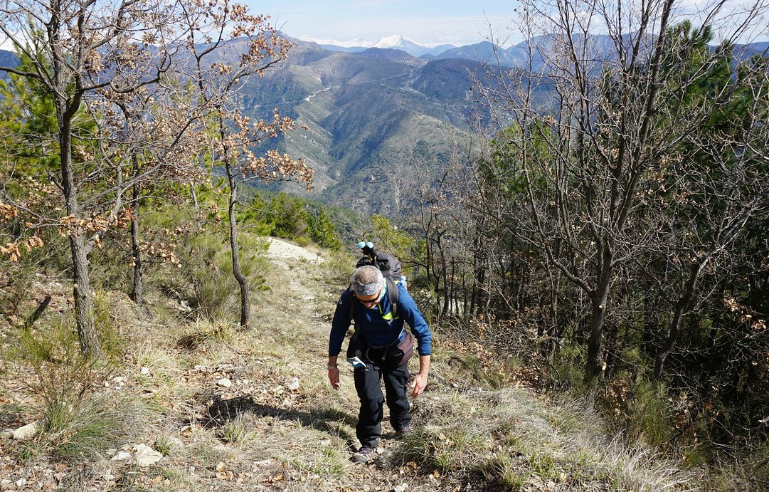

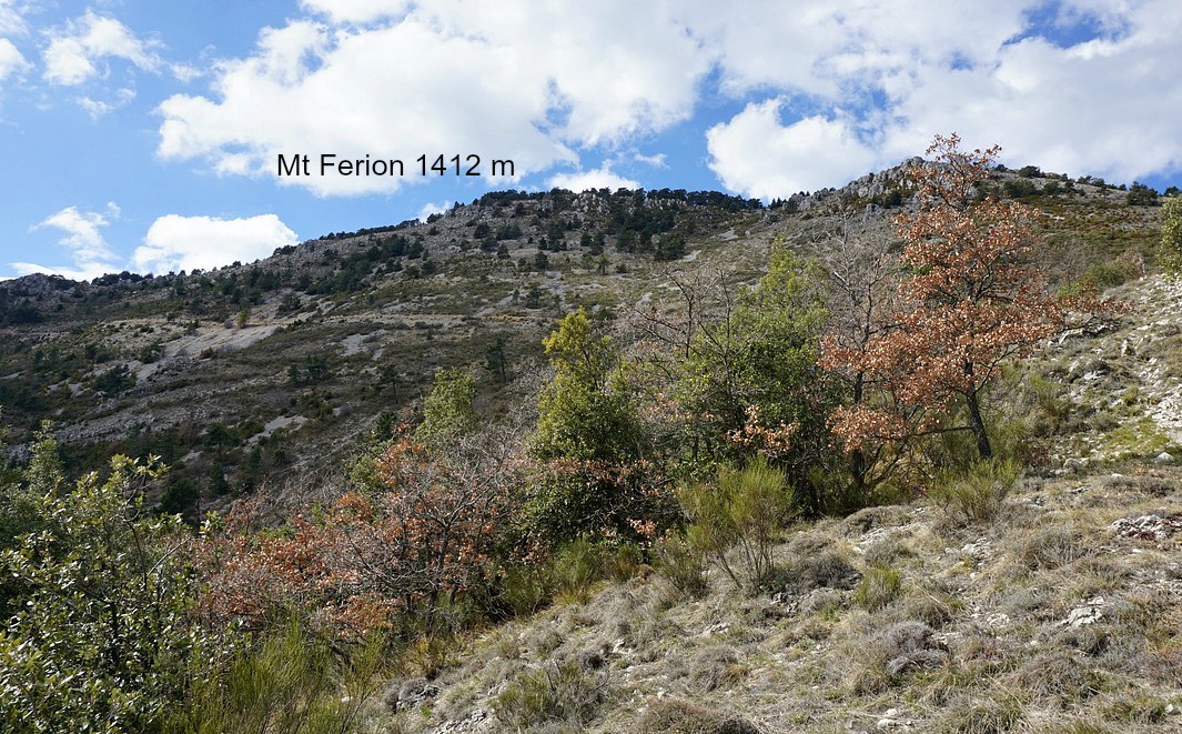

The continuous and rather steep ascent started from signpost 205. We crossed a dirt road zigzagging up to Mt Férion a few times. Eventually we reached Baisse de la Minière (signpost 206) at 1180 m. The rocky trail now headed southwest ascending steeply in the woods to signpost #273 then to the nearby mountaintop. The woods continue as far as to the summit. The best views down to Coaraze and the valley are therefore from the trail before the summit. The over 4 km long Crete du Férion continues south from the highest point.
We returned along the same route back to Coaraze.
Elevation gain: About 790 m
Duration: 4h 30
Map: IGN 3741 ET “Vallées de La Bévéra et des Paillons”

Image of trail courtesy of Google maps
Share story


0 comments:
Note: only a member of this blog may post a comment.