Camp des Fourches to Col de la Cavale
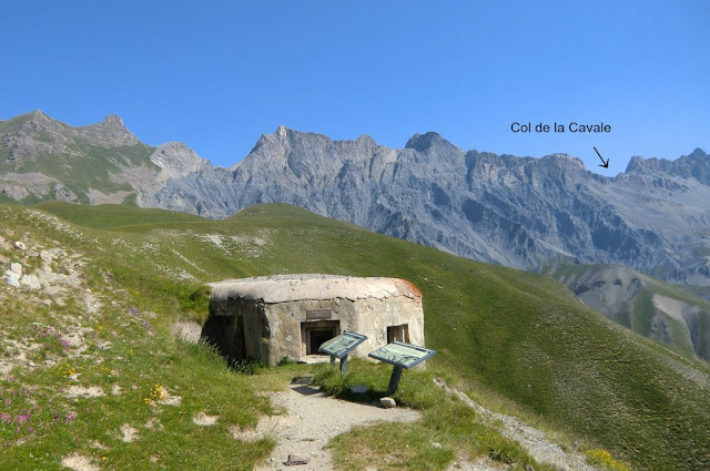
From Camp des Fourches (2240 m alt., 102 km and 1 h 45 from Nice), a few km before Col de la Bonette, you have a choice of three different day hikes, each about 4 hours. At Camp des Fourches there are just ruins of an old caserne and a parking, nothing else. But the surrounding scenery is stunning.
You can climb to Cime de Pelousette (2757 m), to Col de la Cavale (2671 m) or you can explore the peculiar valley of Salso Moréno up to Col de Pouriac (2506 m). The valley of Salso Moreno is a summer pasture to huge sheep flocks. An altogether more strenuous option is the ascent to Tête de l’Enchastraye (2954 m), which takes at least 7 hours.
On the day of our hike the heat wave had reached France, and the temperature even at Camp des Fourches was approaching 20 degrees at 10 o’clock in the morning. We opted for Col de la Cavale along the GR 5 trail. From the parking, there’s a 5 minute walk to Col des Fourches (2261 m). The trail that forks left from here goes to Cime de Pelousette whereas another short path goes straight south climbing to the nearby Mont des Fourches (2342 m), about 30 minutes one way.
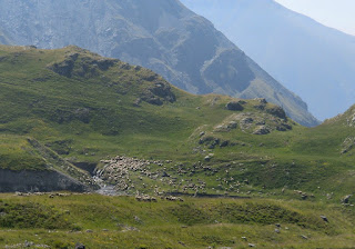
Our GR 5 trail descends about 180 m to the beginning of the Salso Moréno Valley. Its geological wonders include several dolines or sinkholes. With almost no wind and temperature soaring, we certainly looked forward to the cool mountain wind higher up, and were not disappointed. The trail passes a tiny refuge, goes over a dry riverbed before reaching signpost 37. From here, our GR 5 route forks left, and continues ascending almost straight
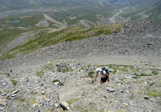
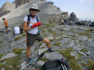
north. The final ascent to the col is steep but is nevertheless easy to negotiate especially if you have poles. No scrambling is necessary. From Col de la Cavale, the GR5 trail continues north to the Lauzanier valley, and eventually to Col de Larche.
We descended along the same route. Col de la Cavale is an excellent spot for a break in good weather.
Total ascent: 780 m
Duration: 4h 30 (2h 30 climbing, 2 h back)
Map: IGN 3639 OT Haute Tinée 1
Image of itinerary :
(Courtesy of Google Maps)


0 comments:
Note: only a member of this blog may post a comment.