

Alpe d'Huez: The Lakes Trail

The following hike offers a great alpine atmosphere with little effort and negligible elevation gain. A paved road (Route des Lacs) continues north of Alpe d’Huez as far as to the parking of Lac Besson. Needless to say, on a clear summer day the parking was packed!
It is possible to hike all the way from Alpe d’Huez using the GR549 trail that runs parallel to the road or, as we did, to park a bit lower by the road as there are several good spots.


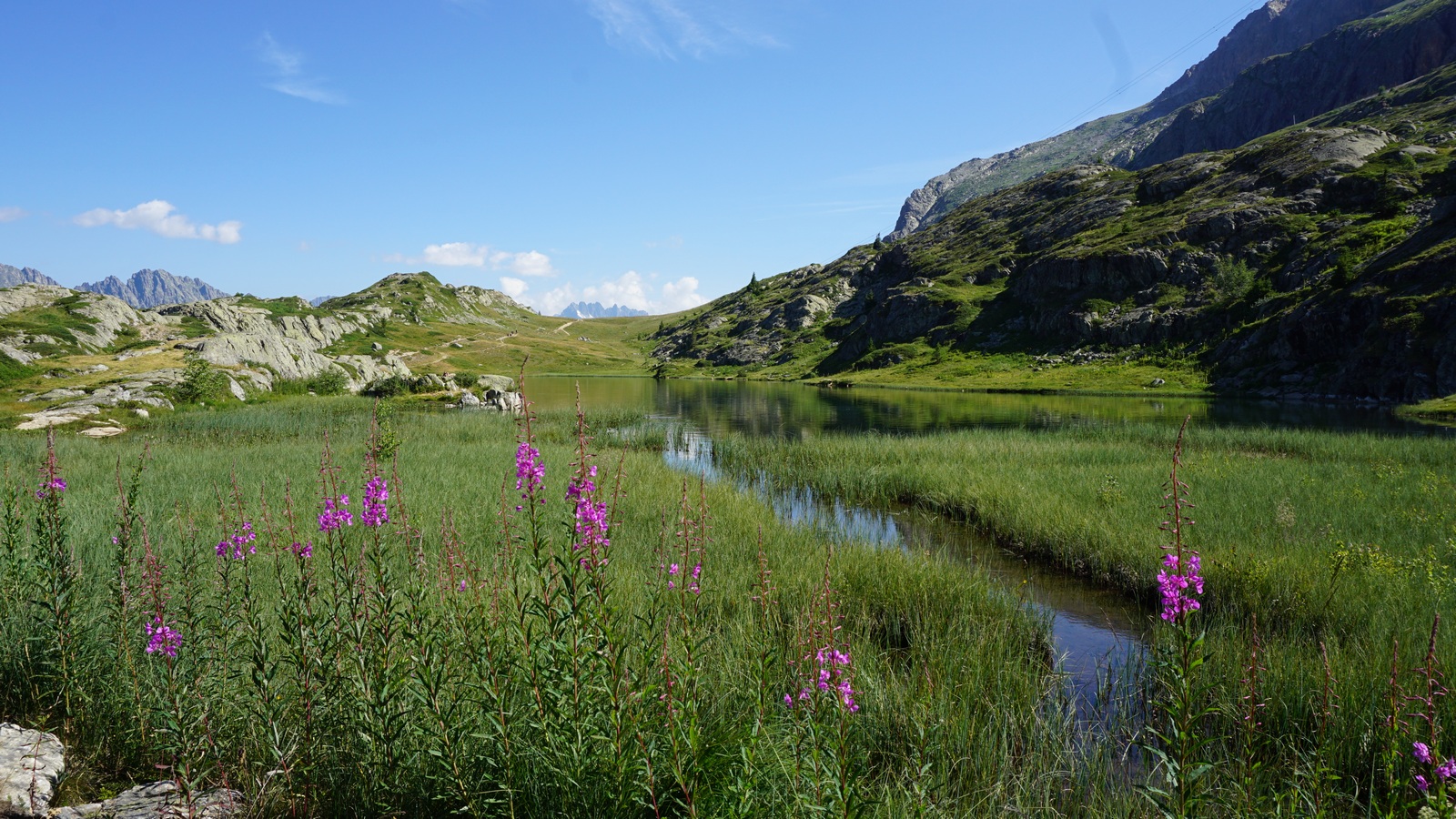
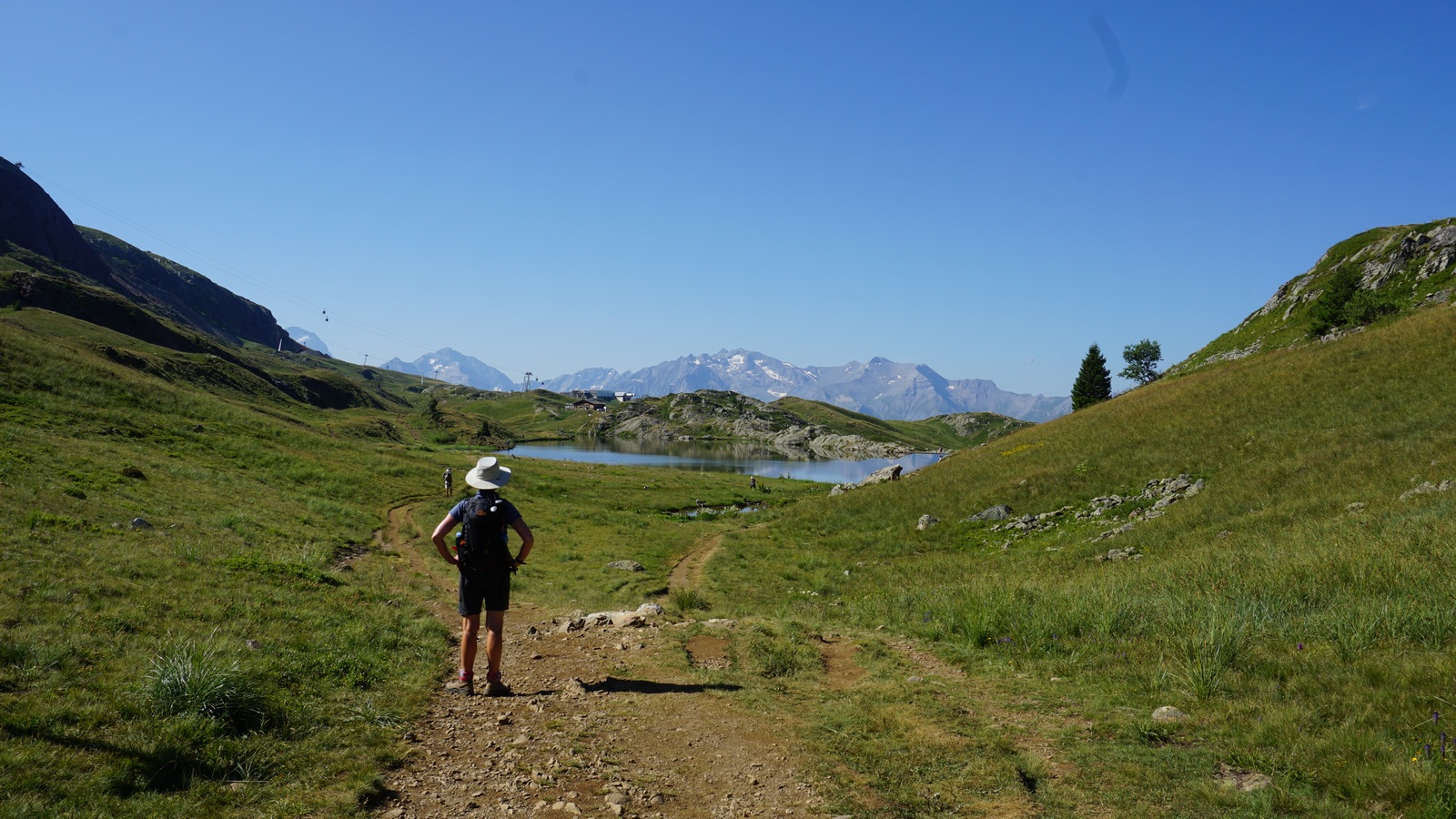

From our starting point, we reached the main parking in about 15 minutes. We continued to Lac Besson. Numerous parallel trails run on both sides of the lakes. We left La Noir on our left-hand side, and in fact one of the side trails circled along its western shore.
We continued straight north along undulating paths, came to Lac Faucille and finally descended a little to Lac Carrelet, with the l’Alpille gondola station above its northern shore. We ascended past the gondola and found a peaceful picnic spot before returning, now choosing somewhat different trails.
In spite of the proximity of ski lifts and gondolas, the lakes and their surroundings have preserved their natural beauty.
Distance hiked : 10 km
Elevation gain : 230 m

Minimum elevation: 2016 m
Maximum elevation: 2096 m
Duration: about 3 h
IGN Map: 3335 ET le Bourg d’Oisans l’Alpe d’Huez

Share story


0 comments:
Note: only a member of this blog may post a comment.