St-Dalmas le Selvage: Around Tête de Cristel via three mountain passes
 |
Col de Cime Plate
|
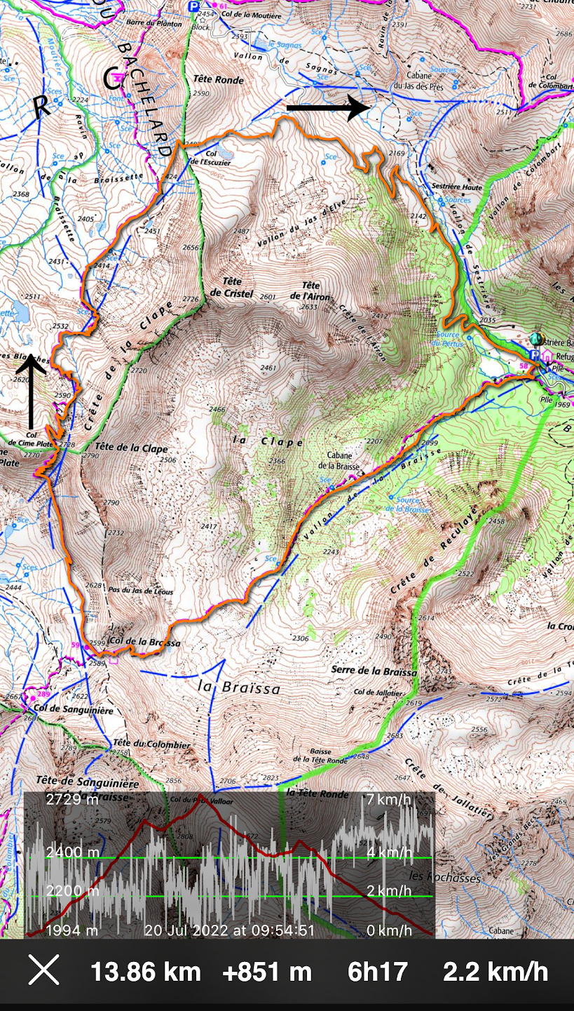
It is possible to make a loop around Tête de Cristel (2726 m) via three mountain passes: Col de la Braïssa (2599 m), Col de Cime Plate (2728 m) and Col de l’Escuzier (2487 m). Part of the itinerary runs in the Alpes de Haute Provence department. It turned out to be a fantastic route in a pristine and tranquil Alpine environment. Note that one of the passes was higher than the peak we circled!
We have previously hiked to Col de la Braïssa (2599 m) and back from Refuge de Sestrière (2000 m; signpost #57) above Saint-Dalmas le Selvage.
From Nice, we drove north along the M2205 road in the Tinée Valley, turned left soon after Saint-Etienne de Tinée to St-Dalmas le Selvage (M63 road), drove through the village and continued along a narrow albeit paved road towards Col de la Moutière. We reached our starting point, Refuge de Sestrière, bordering the Mercantour National Park in about two hours.
 |
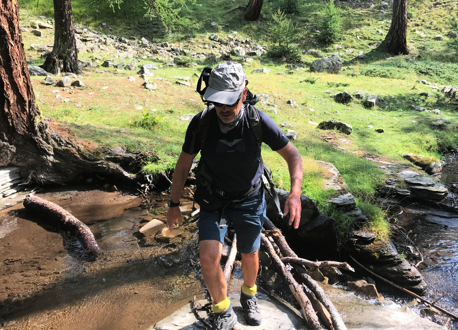
| Near Refuge Sestrière |
 |
| Larch forest above Refuge Sestrière |
 |
| Vallon de la Braïssa |
 |
| Col de la Braïssa |
 |
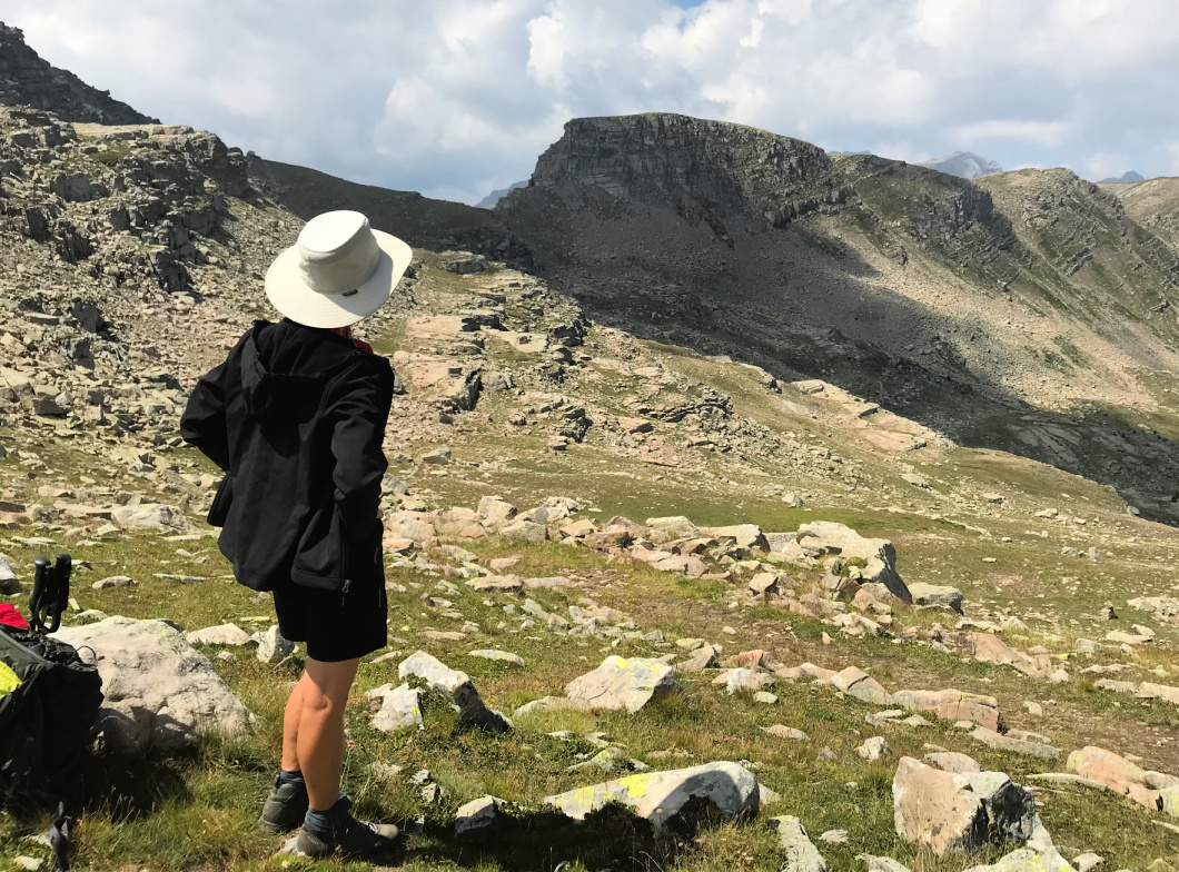
| Towards Col de Cime Plate |
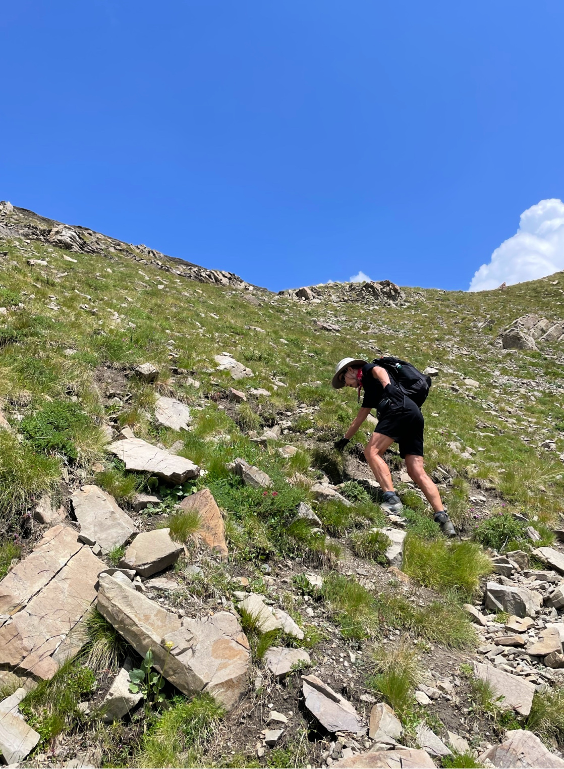
The ascent to Col de Braïssa (signpost #59) in Vallon de la Braïssa took about 1 h 50, first in a magnificent larch forest. From the col, we headed north where the steep southern face of Col de Cime Plate was visible. We were in a complete wilderness. Mobile phone coverage was non-existent. We only saw marmots and vultures. Before Col de la Braïssa we met a few hikers, here none. The trail was marked with cairns here and there. The final ascent to Col de Cime Plate required some surefootedness along the zigzagging trail.
Col de Cime Plate marked the highest point of today’s itinerary. Seasoned hikers might wish to Climb to nearby Cime de la Plate (2770 m). Cime de la Bonette (2860 m) was visible in the north. Col de l’Escuzier, our third mountain pass today could be seen in front of Tête Ronde (2590 m). We descended quite steeply into Vallon de la Braissette, with Tête de Cristel on our right-hand side, and the Braissette Lakes to the left.
There was no marked trail on our map to our last col but a clear path leading there was visible. From the main trail, we forked right at 2434 m elev. and followed the path along a grassy incline to Col de l’Escuzier. Vast grassy slopes with some streams and ponds comprised the eastern flank of the col. In places, there were rocky precipices. We now headed east, avoiding the wet and steep areas. We joined the paved road at about 2300 m elev. and descended along it to our starting point. Traffic was minimal, but we met a few tourists driving carefully and some sheep farmers driving not so prudently!
 |
| Nearing Col de Cime Plate |
 |
| View north from Col de Cime Plate |
 |
| Ascending to Col de l'Escuzier |
 |
| Col de l'Escuzier |
Duration (active hiking): 5h 15
Map: 3639 OT Haut Tinée 1 Auron
 |
| Three cols hike track |


0 comments:
Note: only a member of this blog may post a comment.