Tanneron ridge hike
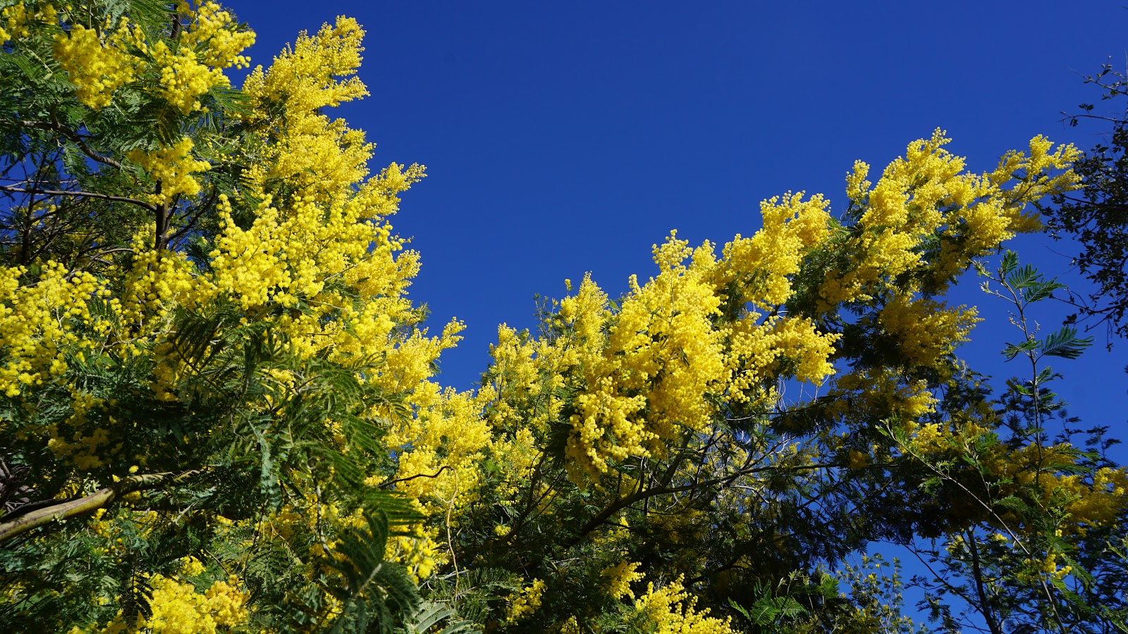
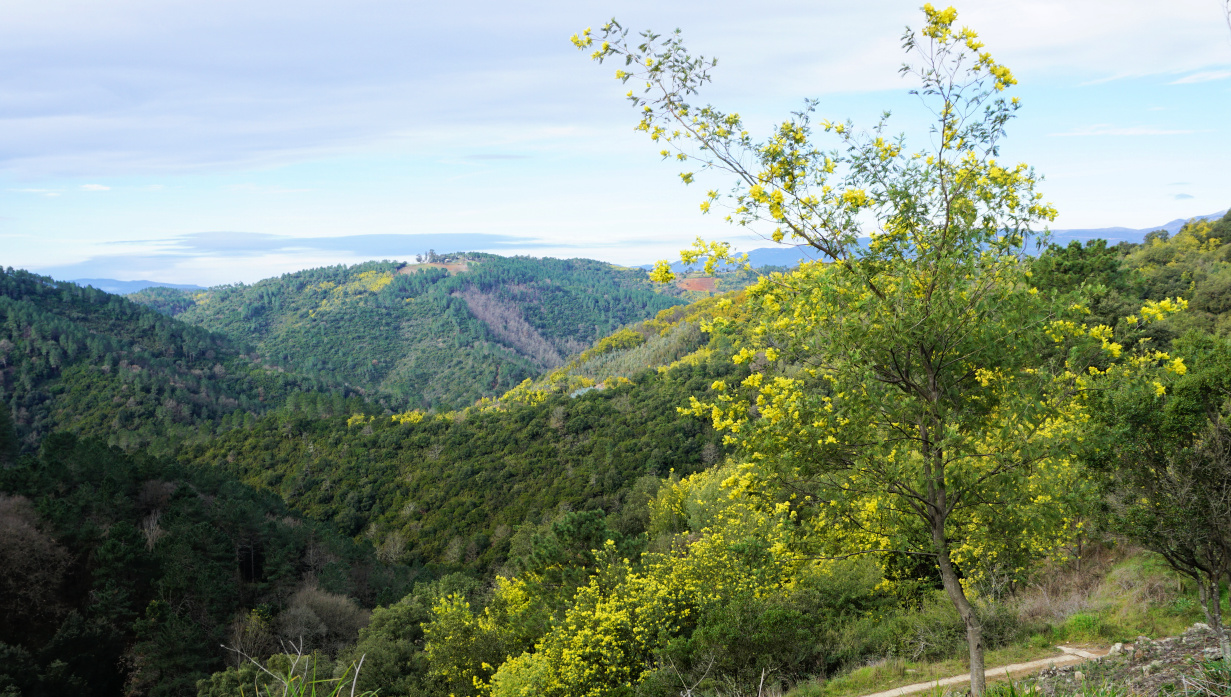
The village of Tanneron (~400 m elev.) has become the unofficial capital of the mimosa. From January to March, the mimosa colours yellow the hill flanks above Mandelieu-la-Napoule. Not part of the original flora, the mimosa tree was originally imported from Australia and thrives in Côte d’Azur.
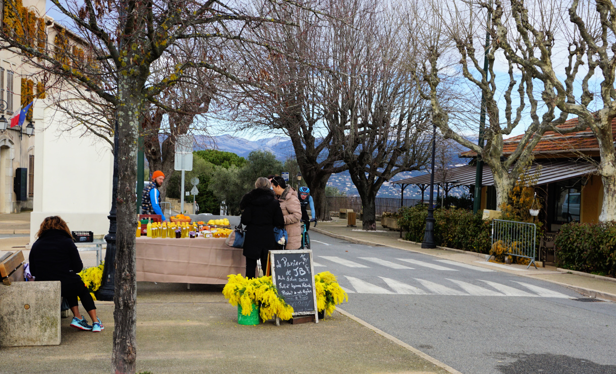
Several families in Tanneron now cultivate mimosa and export flowers to all France and beyond. Numerous varieties of the mimosa exist which explains the long flowering season.
Lots of visitors come to the small village to admire the yellow flowers in mid-winter, and many wish to take advantage of shorter or longer hiking routes in the surrounding hills.
We made the long (16+ km) but very popular Ridge of Tanneron (Circuit Les Crêtes de Tanneron) loop hike on a pleasant February day.
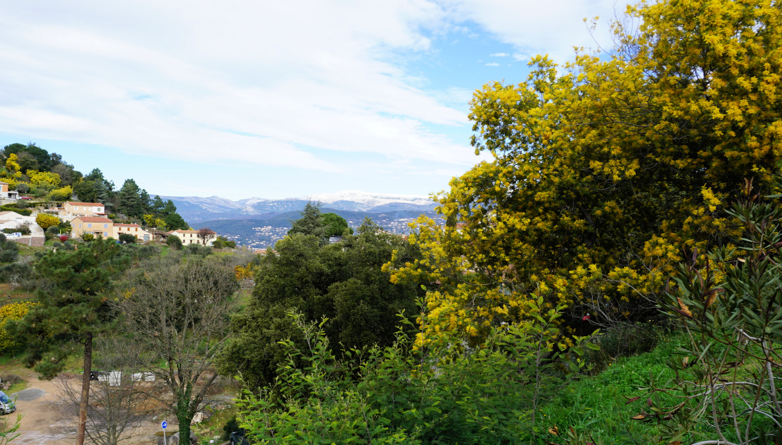
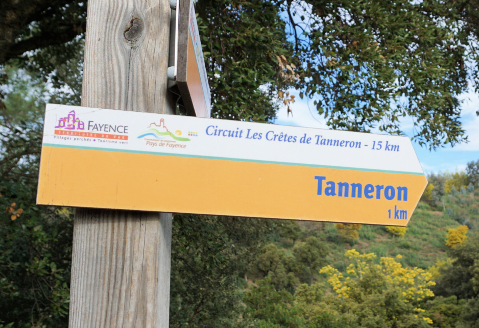
We used the village as our starting point. We descended, using a shortcut passing the fire station to the signpost (pictured) below the village showing the itinerary. Once deep down in the valley, we followed the Aubarie stream, crossing it a few times.
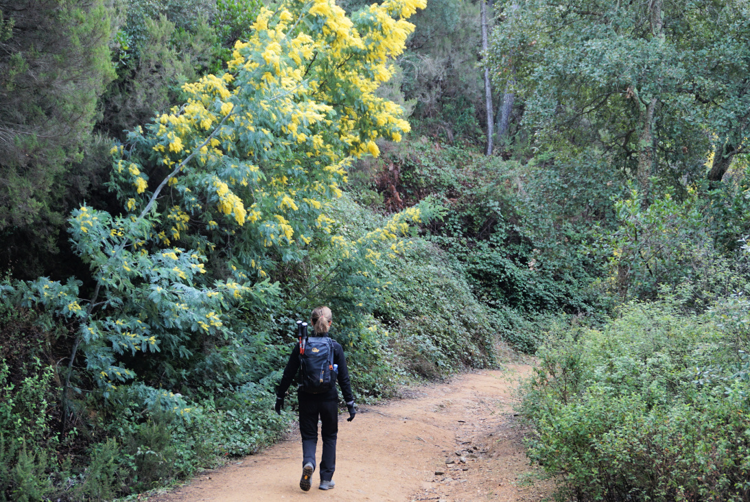
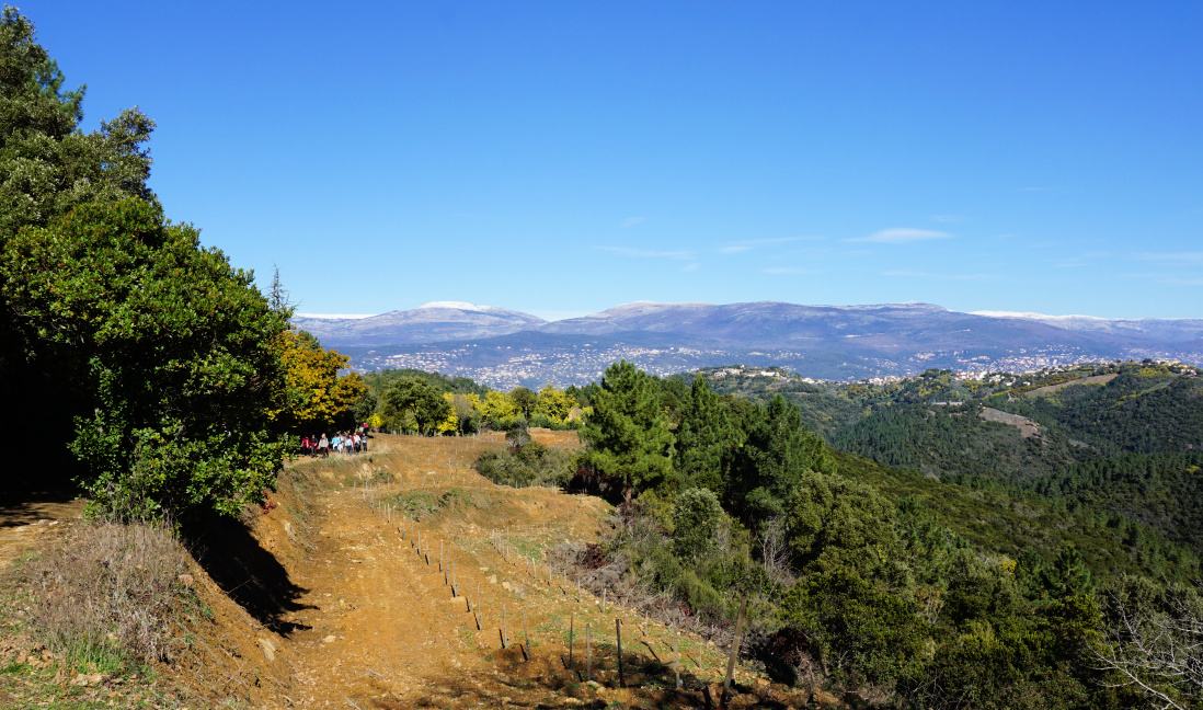
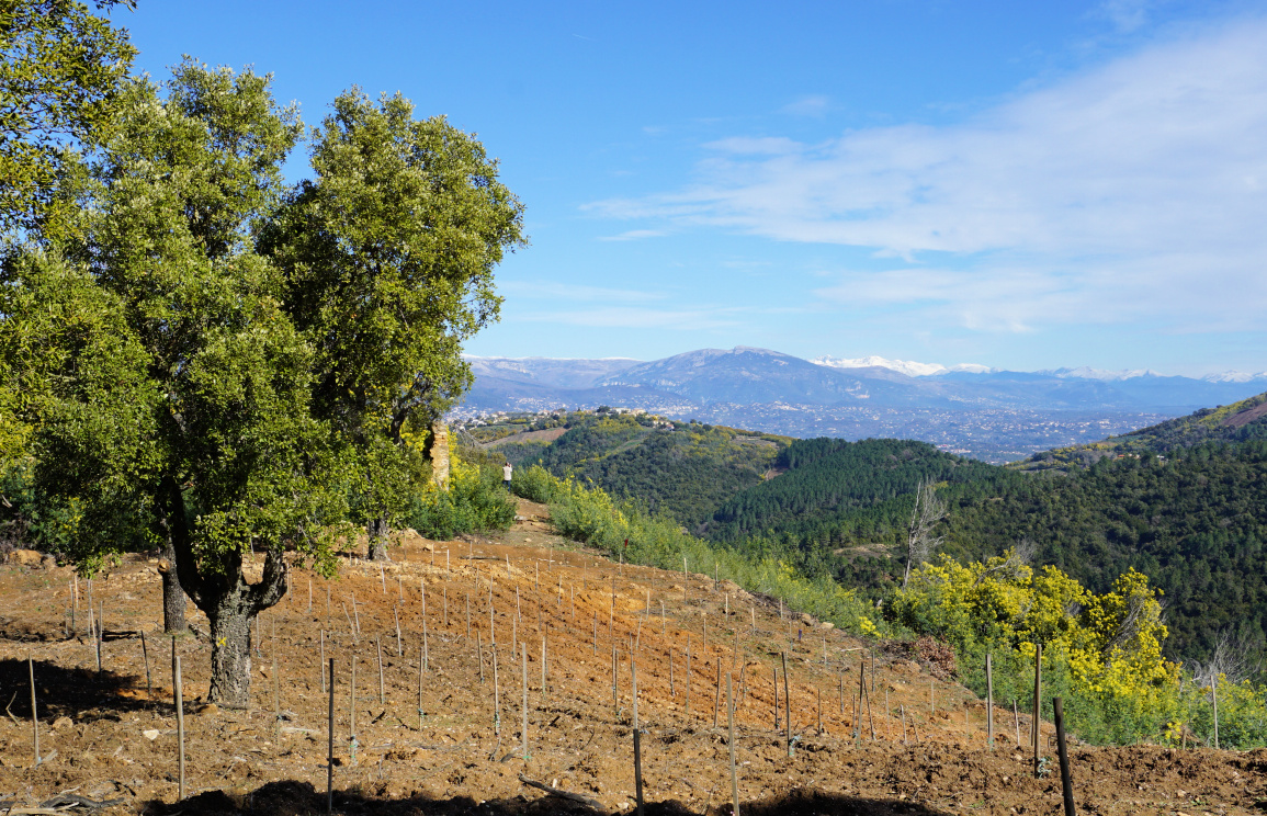
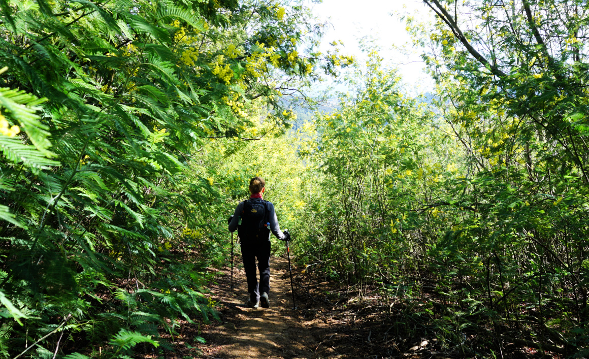
We came to a bend by the D38 road at about 150 m elev., walked along the road about 70 m before starting to ascend gradually in the woods, in a southerly direction. Once higher up, the scenery changed and when we reached the ridge there were blossoming mimosa trees by the trail in abundance. We had unobstructed views to Grasse and beyond. We passed some mimosa cultivations and came to the neighbourhood of les Farinas (about 470 m elev.) with some nice properties. Here, we continued along a paved road (Chemin des Farinas), heading mostly east. The yellow-marked trail follows the road. We took a 700 m detour near les Grailles along a nice unmarked trail, and re-joined the paved road after a steep descent.

We descended further along the road to a crossroads where we forked left and followed a wide DFCI dirt track as far as to Vallon de la Verrerie where we again forked left (west). After about one km we crossed the stream in the valley and climbed back to Tanneron, first passing a parking at Touordam, next to the tennis courts.
Climb: 570 m
Distance: 16,7 km
Duration: 4h40 active walking time
Map: 3543 ET Haute Siagne





0 comments:
Note: only a member of this blog may post a comment.