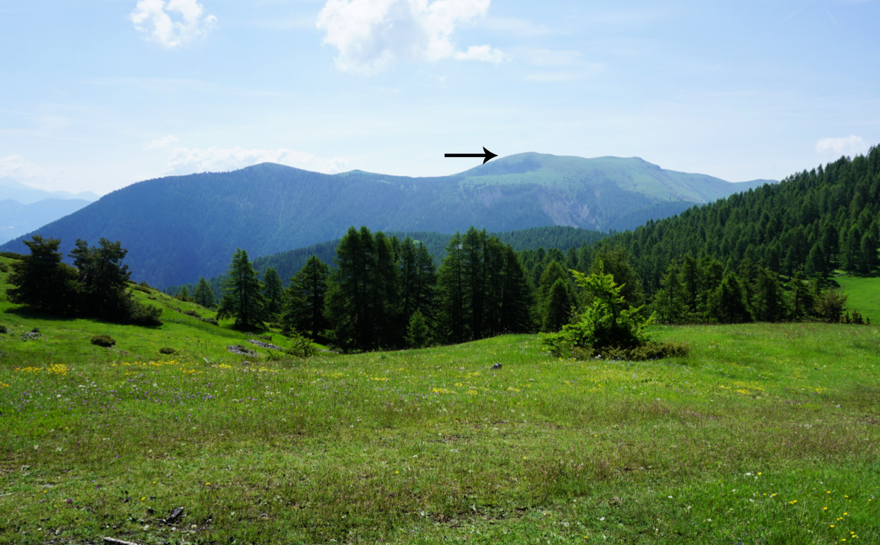
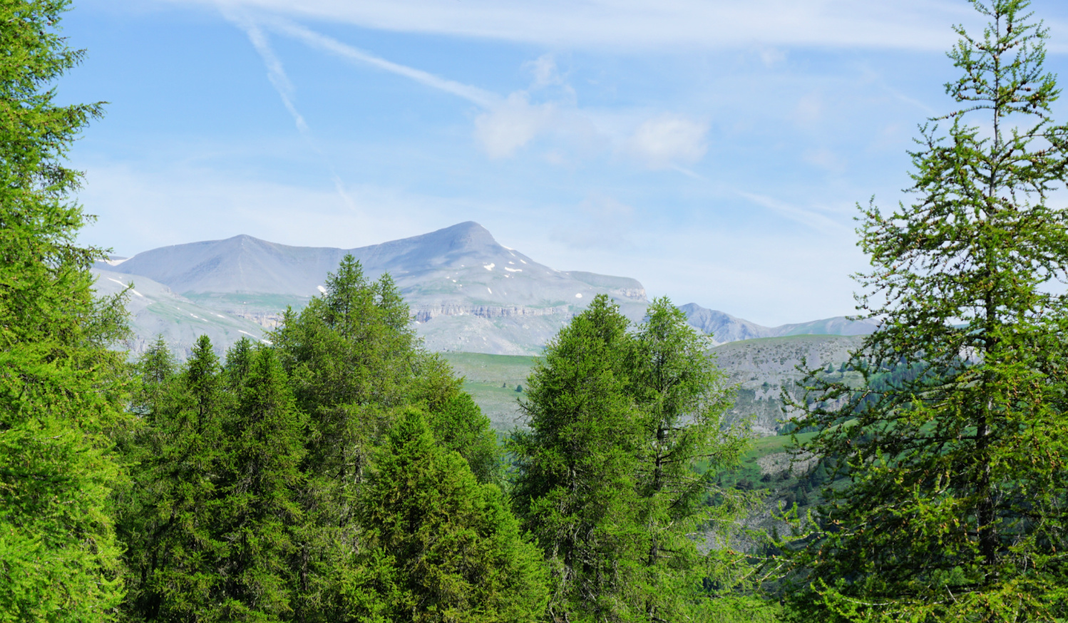
Roubion: Tête de Pommier from Colle de la Couillole
For someone who enjoys hikes along soft alpine meadows along easy trails with super views, we can certainly recommend the following itinerary above Roubion, between the Tinée and Cians Valleys.
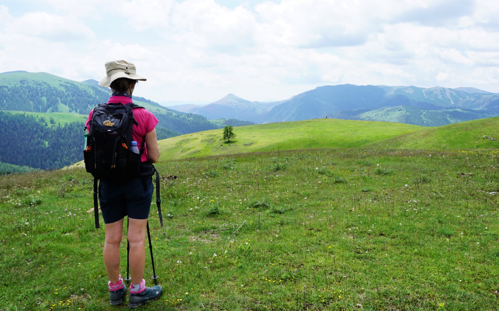
The mountains south of Col de la Couillole (1678 m) are round, reminding us of fells in northern Scandinavia. Many of them have ski lifts serving the small ski resort in Roubion. There are marked hiking trails, tracks used by mountain bikers in summer as well as tracks in the terrain which are not shown on maps at all. This makes walking very easy as you can tailor-make your itinerary.
Inspired by last year’s hike around Pin Pourri (1826 m) from Beuil, we now wanted to explore the trail to Tête du Pommier (1913 m).
We drove up to Colle de la Couillole via the Cians Valley (D28 road) to Beuil, then took the D30 to the Col. There is a good parking across the road from the auberge.
The shortest route to Tête de Pommier is to start along the dirt track which runs along the eastern flank of the small summits.
 |
| Cime de Tournerie |
 |
| Lauvet d'Ilonse |
 |
| Trail south of Cime de Tournerie |
 |
| Heading to signpost 62a |
 |
| Cowslips near Tête de Pommier |
We wanted to use the trails which were a bit higher, and first headed south towards Pin Pourri. We passed its summit, then descended to signpost #65 at Les Compés, and continued to signpost #66 at Terme Ribi. From here, we circled along the western flank of Cime de Tournerie. The itinerary followed a dirt track partly converted to a ski run, still wet after last night’s rain. We followed an unkept path parallel to it, then joined a good trail to signpost #62a where we forked right (southwest) to signpost #62 which was on the grassy north western slope of Tête de Pommier. We climbed directly to the flat summit.
 |
| Signpost#62 under Tête de Pommier summit |
 |
| At Tête de Pommier |
 |
| Beuil viewed from Tête de Pommier |
 |
| Pin Pourri vast summit |
On the way back, we descended along a very smooth ski run back to signpost #62a, then hiked over Cime de Tournerie, and joined our previous track. We made a detour to Pin Pourri’s vast summit plateau before descending back to our starting point.
Distance: 10 km
Duration: 3h 30 active
Climb: 530 m
Map: Moyenne Tinée 3641 ET
 |
| Tête de Pommier hike track |


0 comments:
Note: only a member of this blog may post a comment.